Lawrence County
WRP Property Located Along The Old Channel Embarras River
N 1320th / E 1020th Ave Lawrenceville, IL 62439


Description
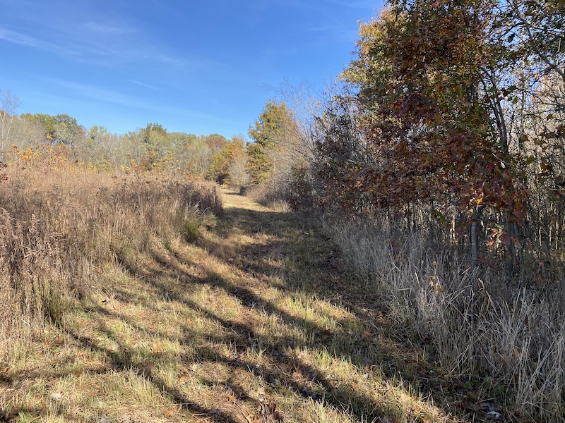
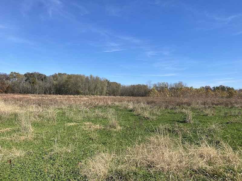
Located northwest of Lawrenceville, along the Old Channel of the Embarras River, sits this secluded farm. The access off E 1020th Ave is protected by a cable and lock that only the landowners at the bottom have access to. The long dirt lane runs north off its intersection with 1320N for approximately a half mile, before crossing the river. You will continue heading north for a few hundred feet before making a left to enter the property. You will immediately notice the diverse habitat and incredible cover. Most of the property is young-growth hardwoods and native grasses. There are several pockets of old-growth timber around the farm, with the majority sitting along the river. Several areas have been designed to hold water, providing amazing waterfowl hunting opportunities. A few areas throughout the property have been set aside, which provide locations to plant food plots. A very extensive trail system navigates around the property and allows you to quietly get into multiple areas to hunt. This is a must-see property, especially if you like being off the beaten path and do not want to be near roads or local traffic. Contact Adam Crumrin, Land Specialist for more information or to schedule a time to see this property.
Summary
Address
Land Type
Property Type
Land and Farm Property Types
Road Surface
Land Details
Improvements/Features
Activities on Property
Roads
Government Programs
Tillable/Production Areas
Waterfowl
Waterfront
Wild Game
Recent Property Improvements
Details
- Very secluded farm in Lawrenceville
- WRP with nice hardwoods
- Embarras River access
- Good whitetail and turkey population
- Close to Lawrenceville with lodging and airport available
- Roughly 8 acres of plots allowed in four different two-acre plots
- Old-growth timber along the river allows for some great stand locations along with other islands of timber
- Several water retention areas for waterfowl hunting
Other
Coordinates
Annual Taxes
Sold Property
For more information or to see additional properties currently for sale see Adam Crumrin's listings.