Sullivan County
130+/- Tillable Acres In The Fertile Wabash River Bottoms
South County Road 400 West Sullivan, IN 47882


Description
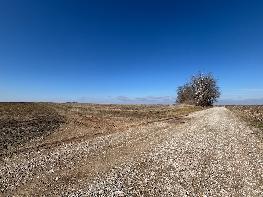
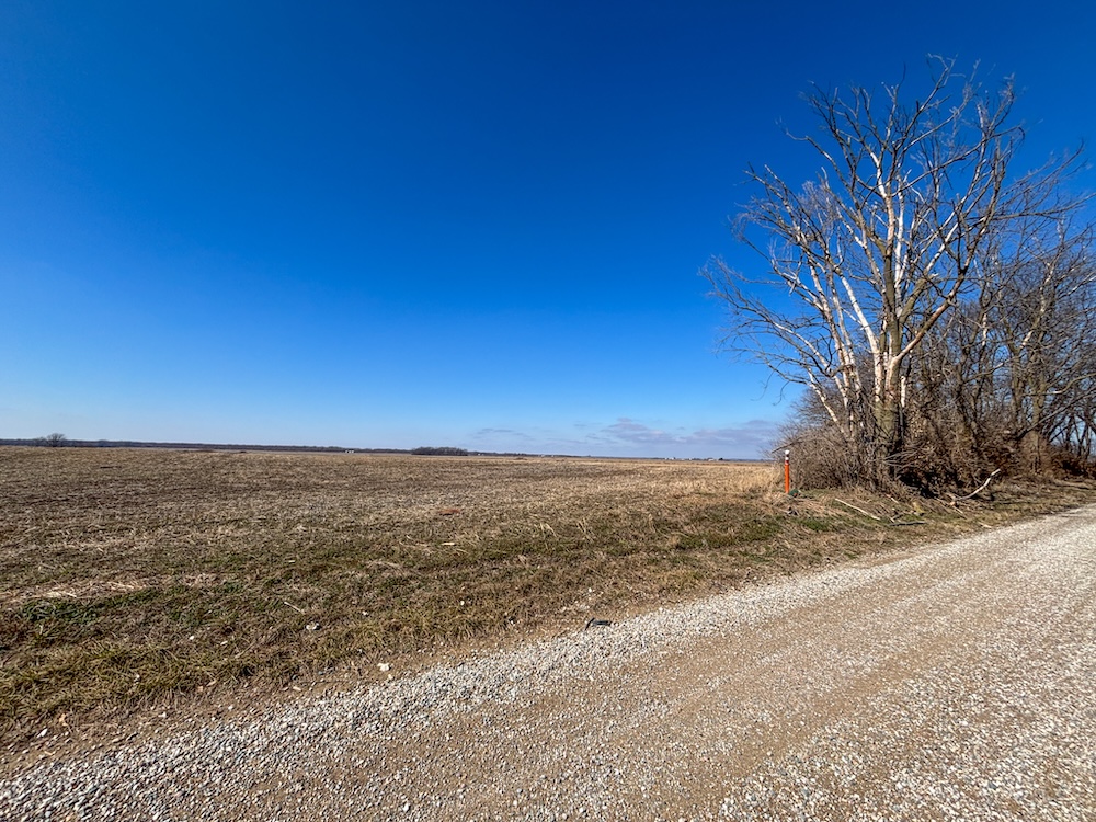
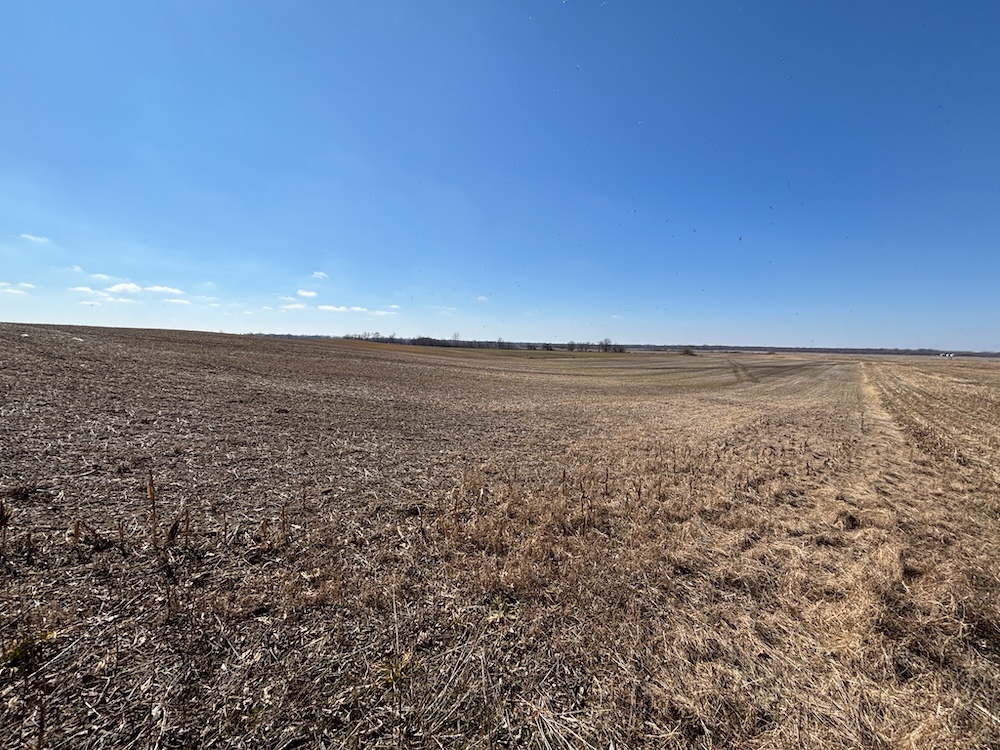
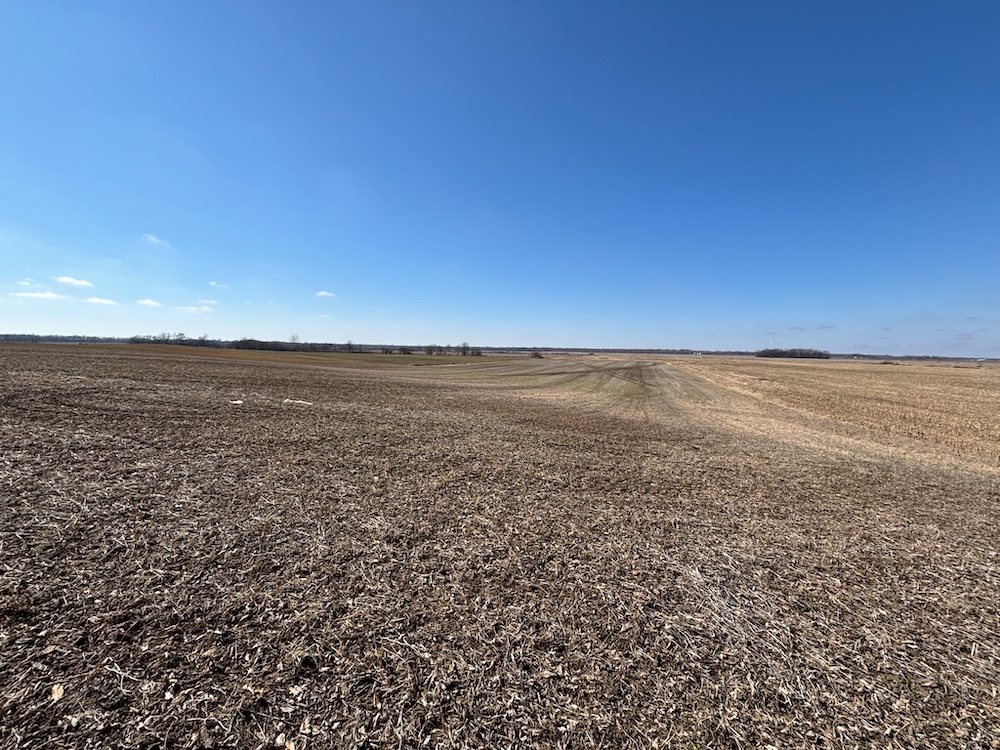
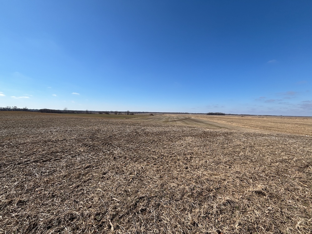
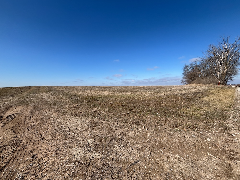
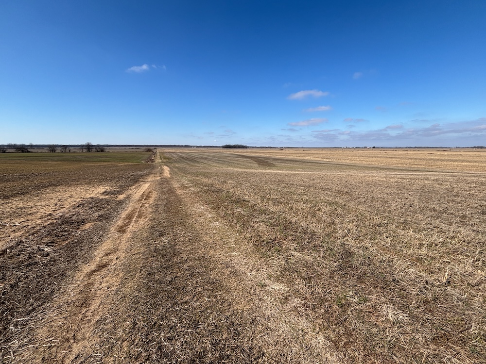
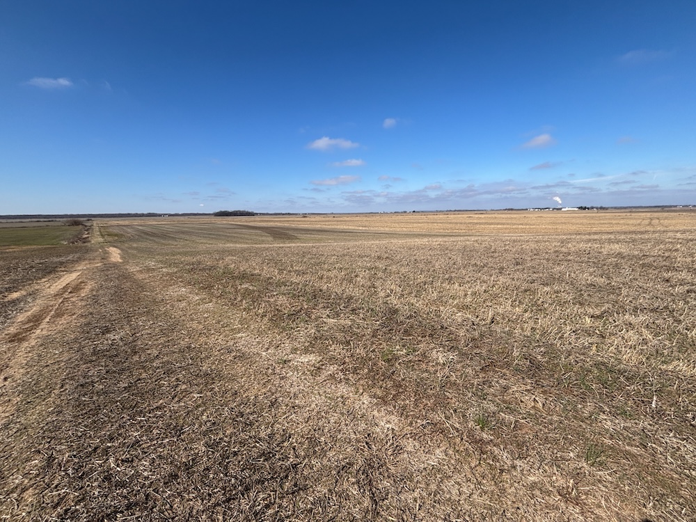
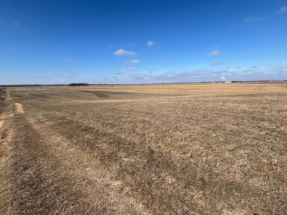
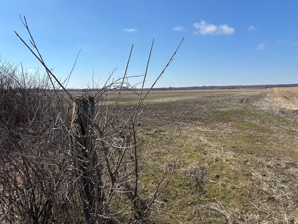
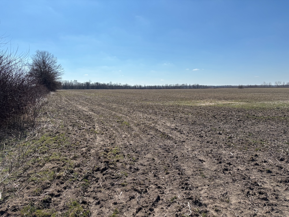
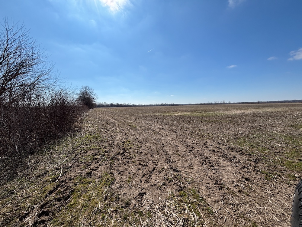
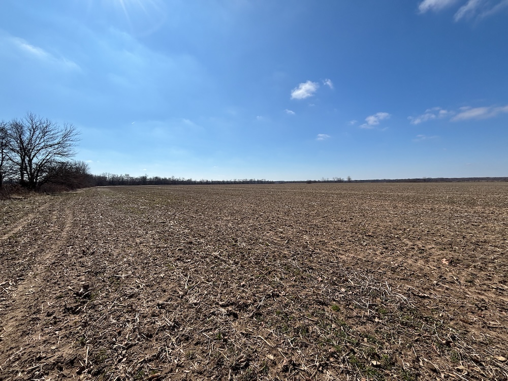
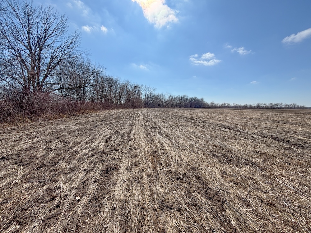
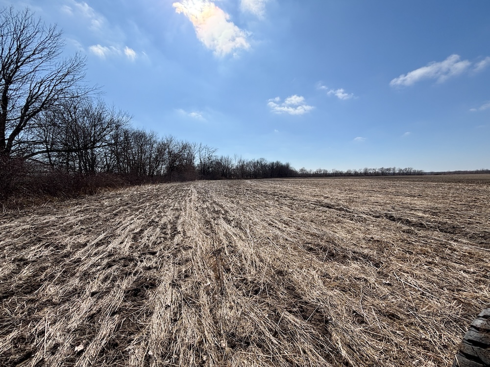
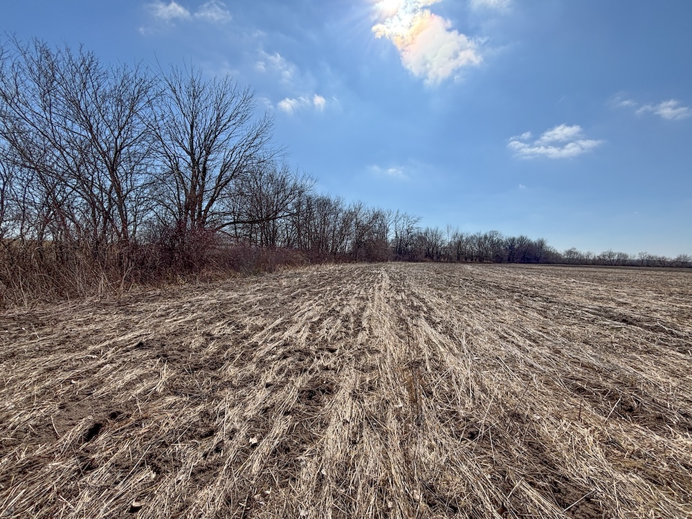
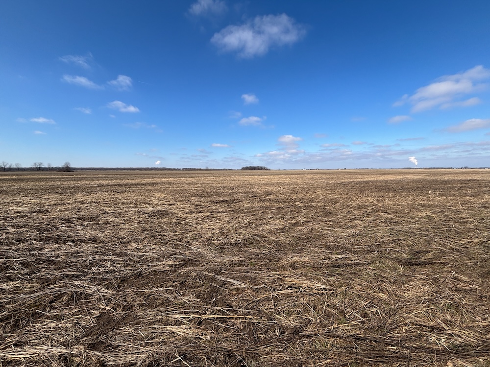
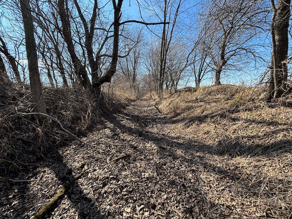
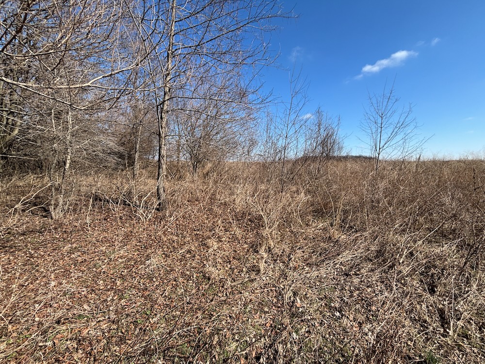
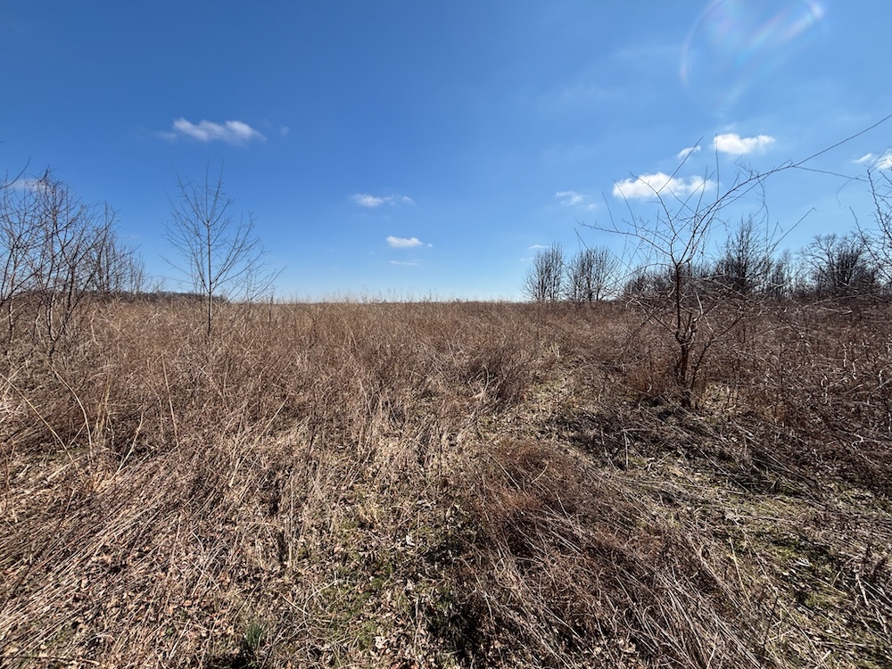
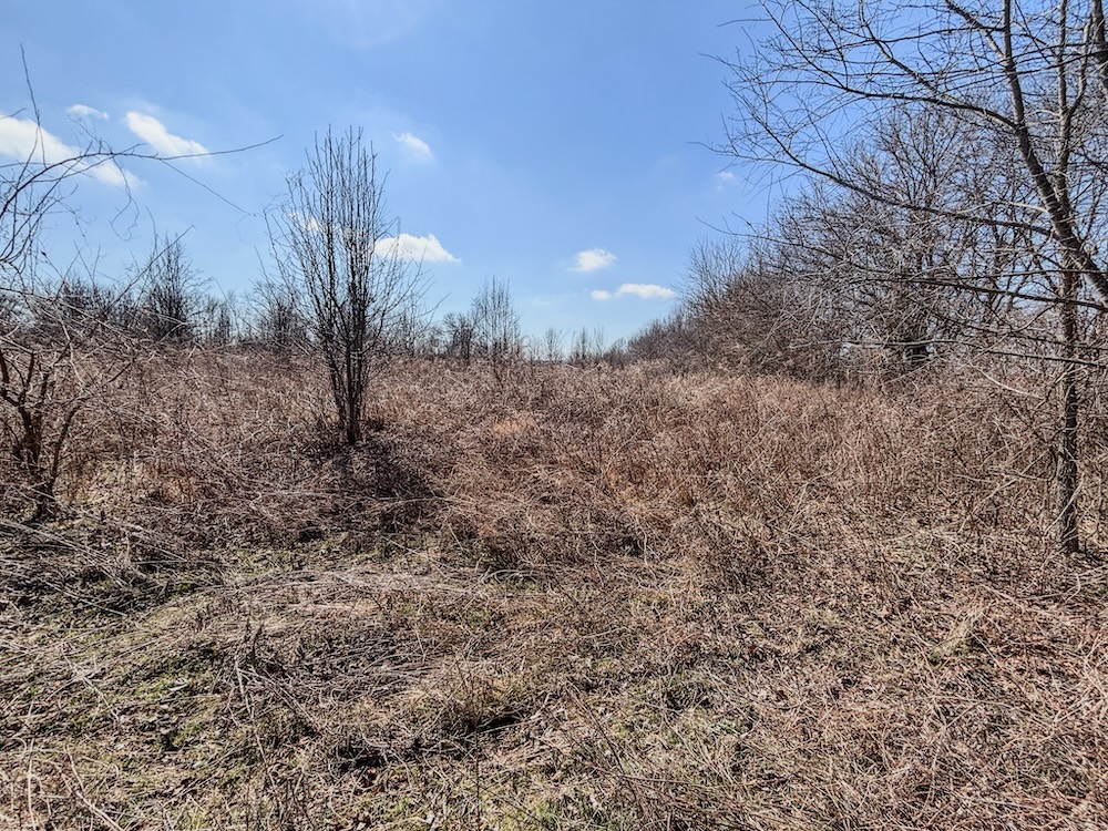
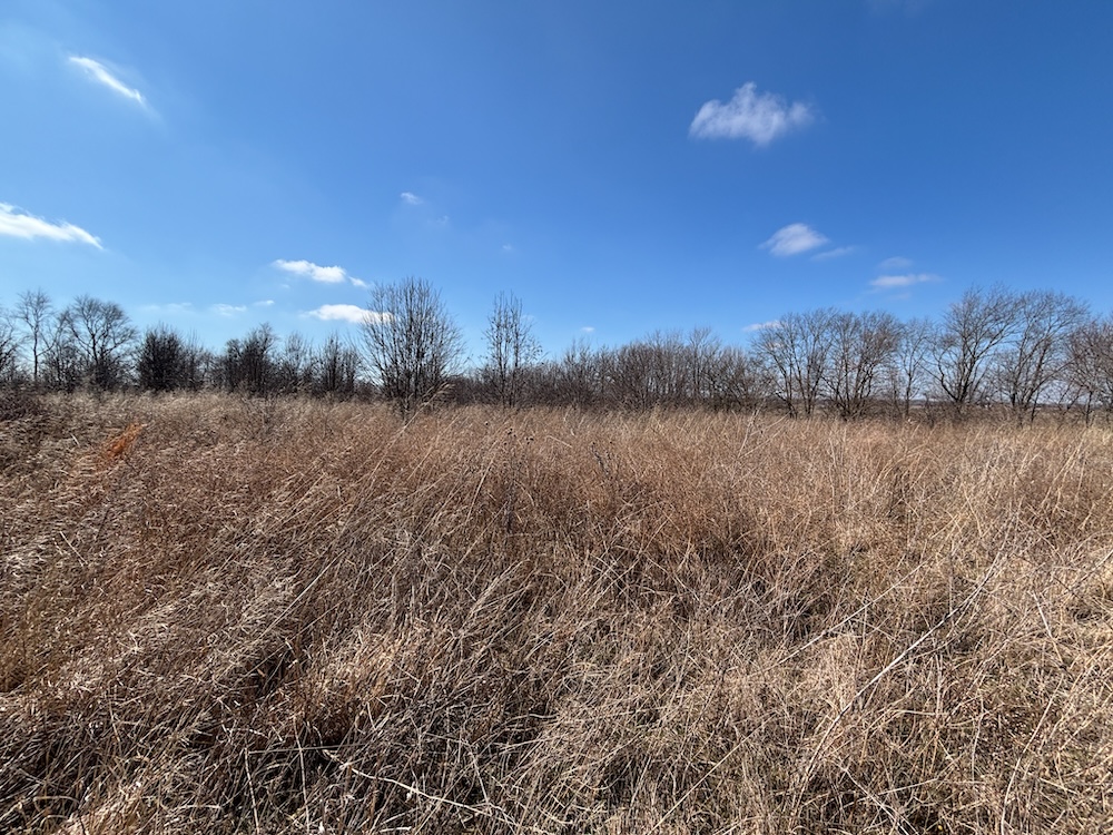
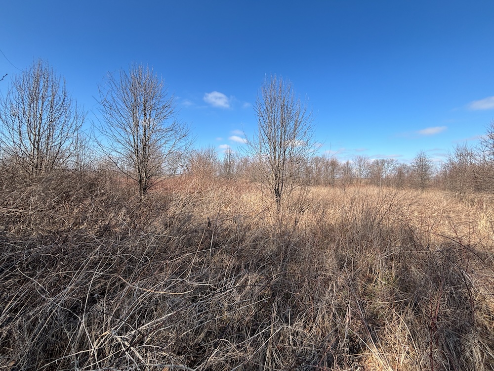
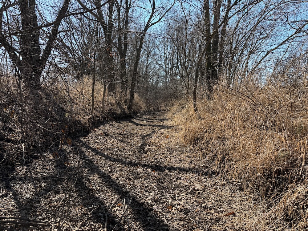
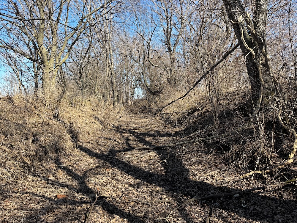
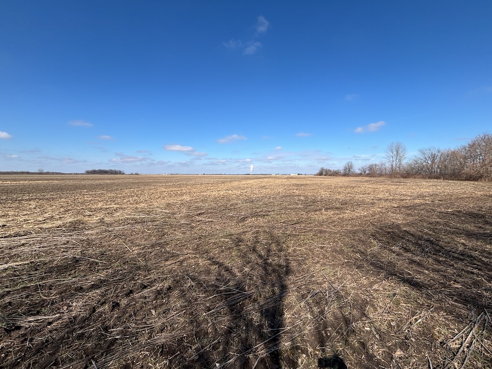
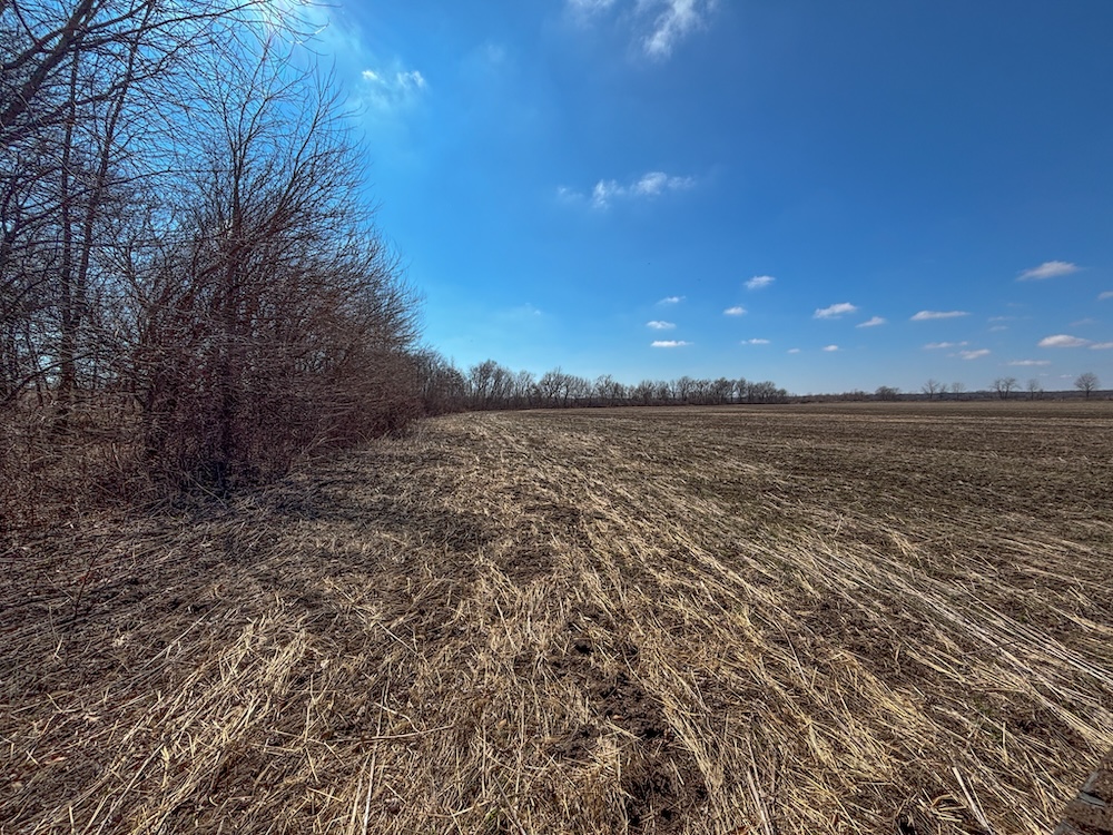
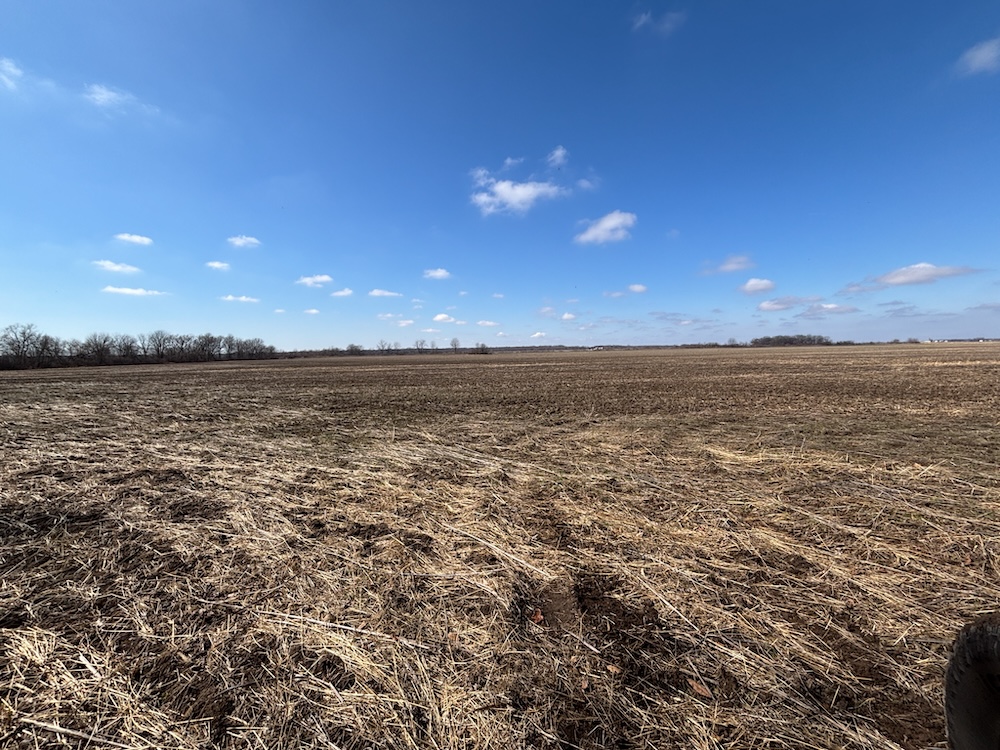
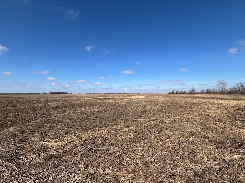
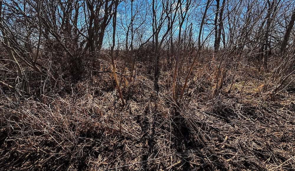
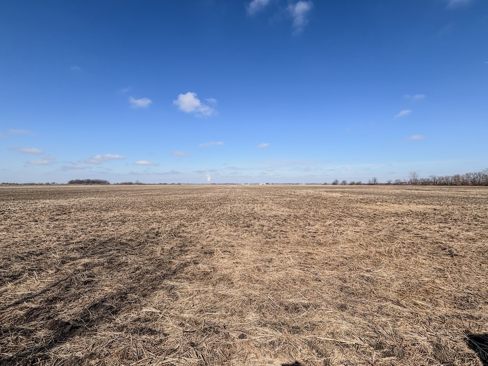
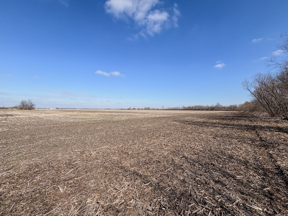
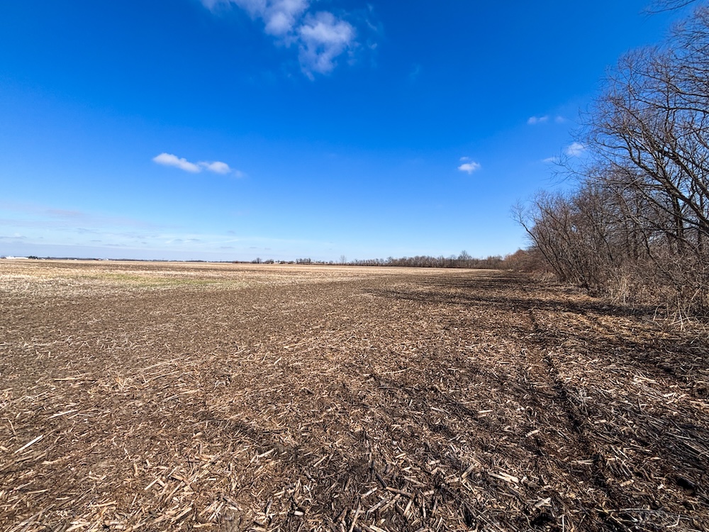
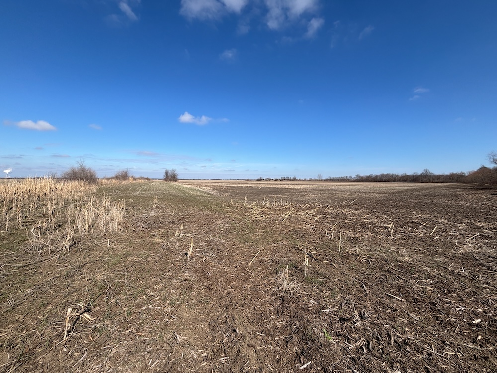
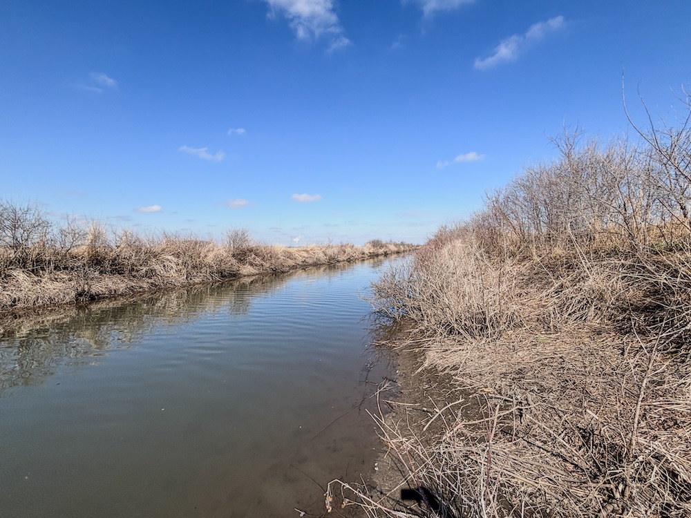
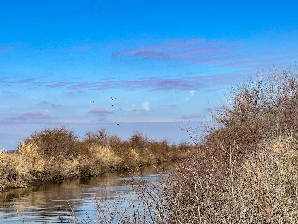
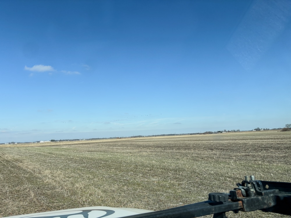
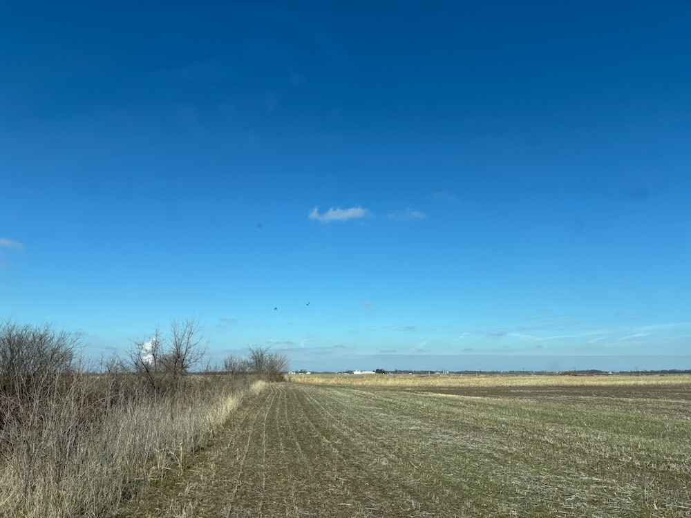
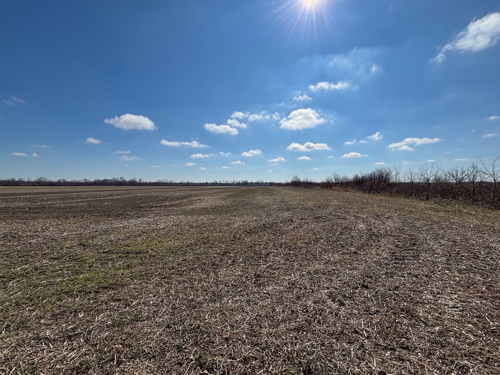
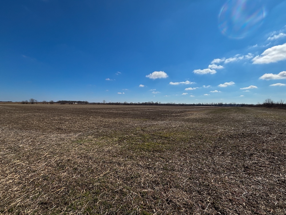
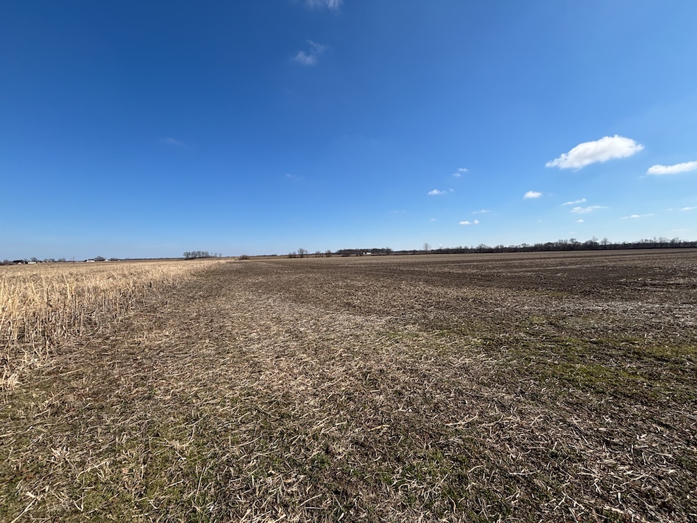
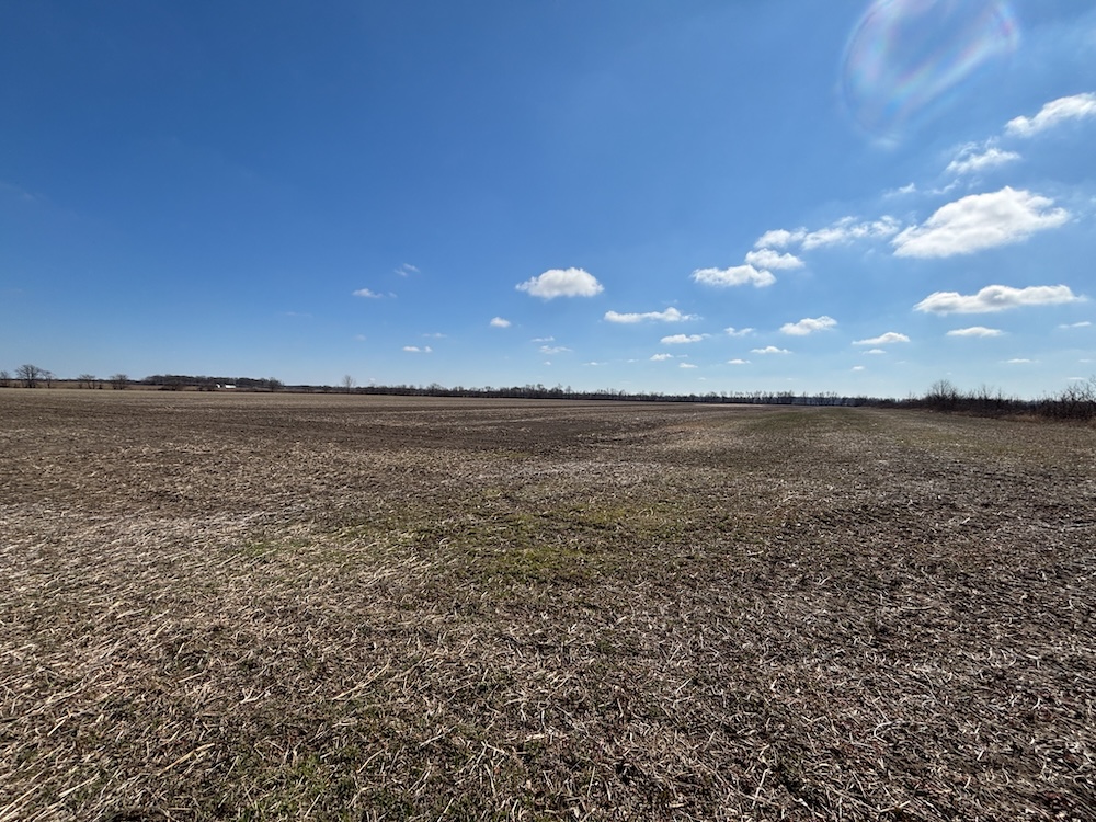
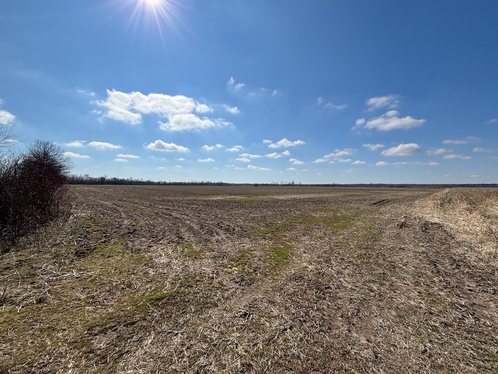
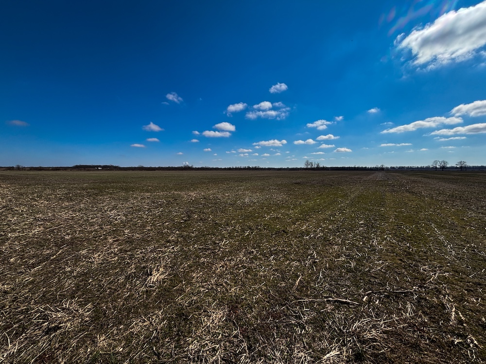
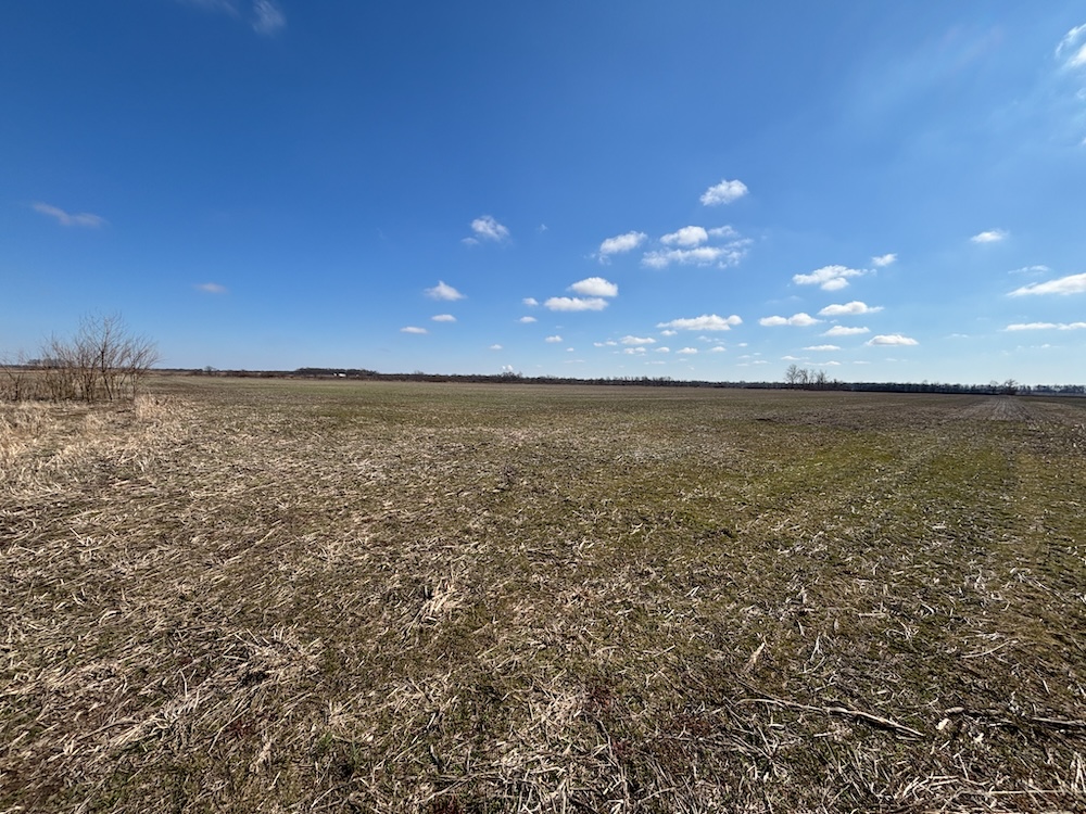
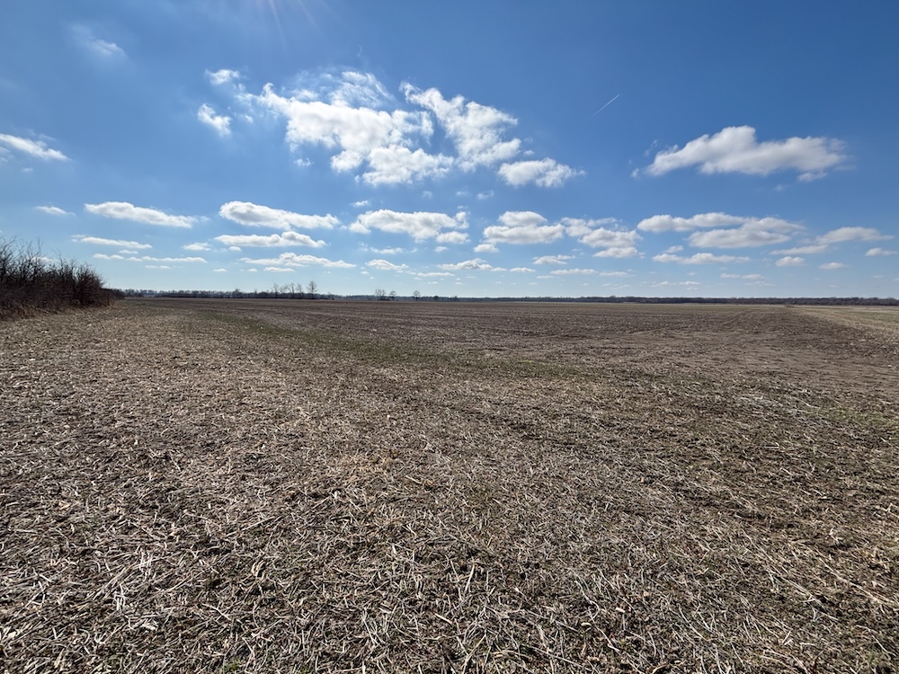
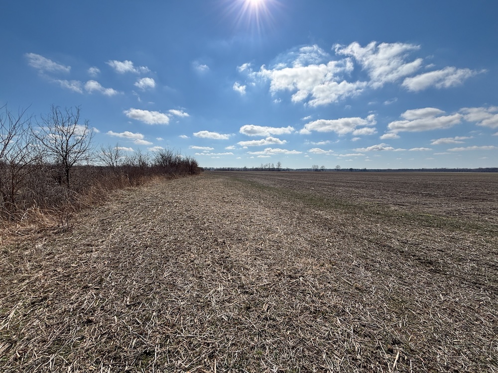
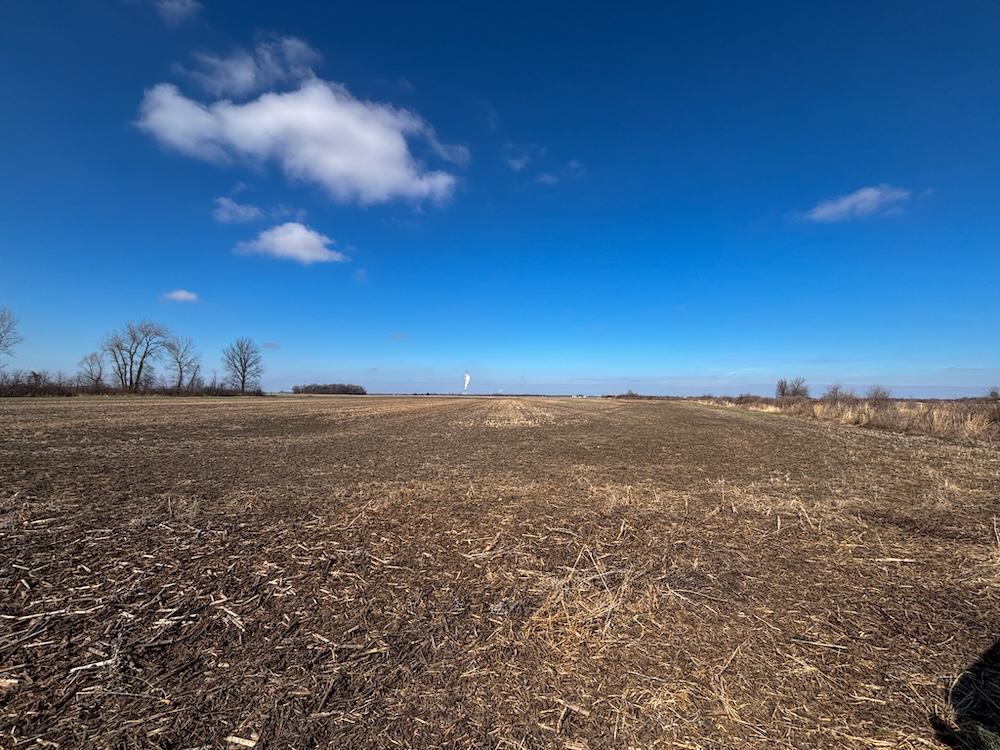
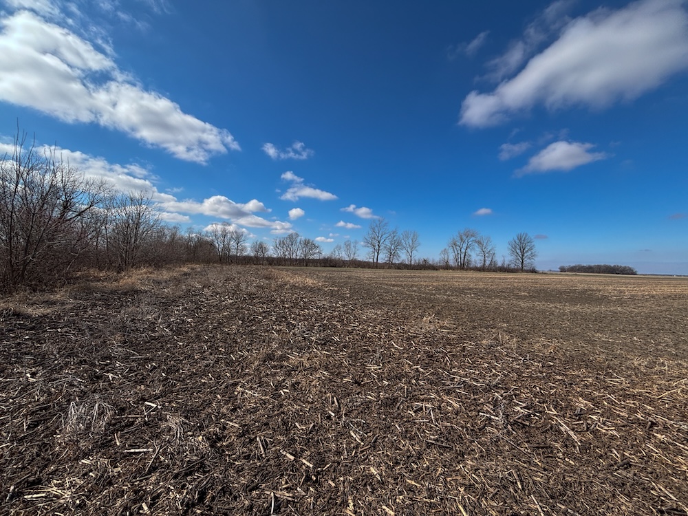
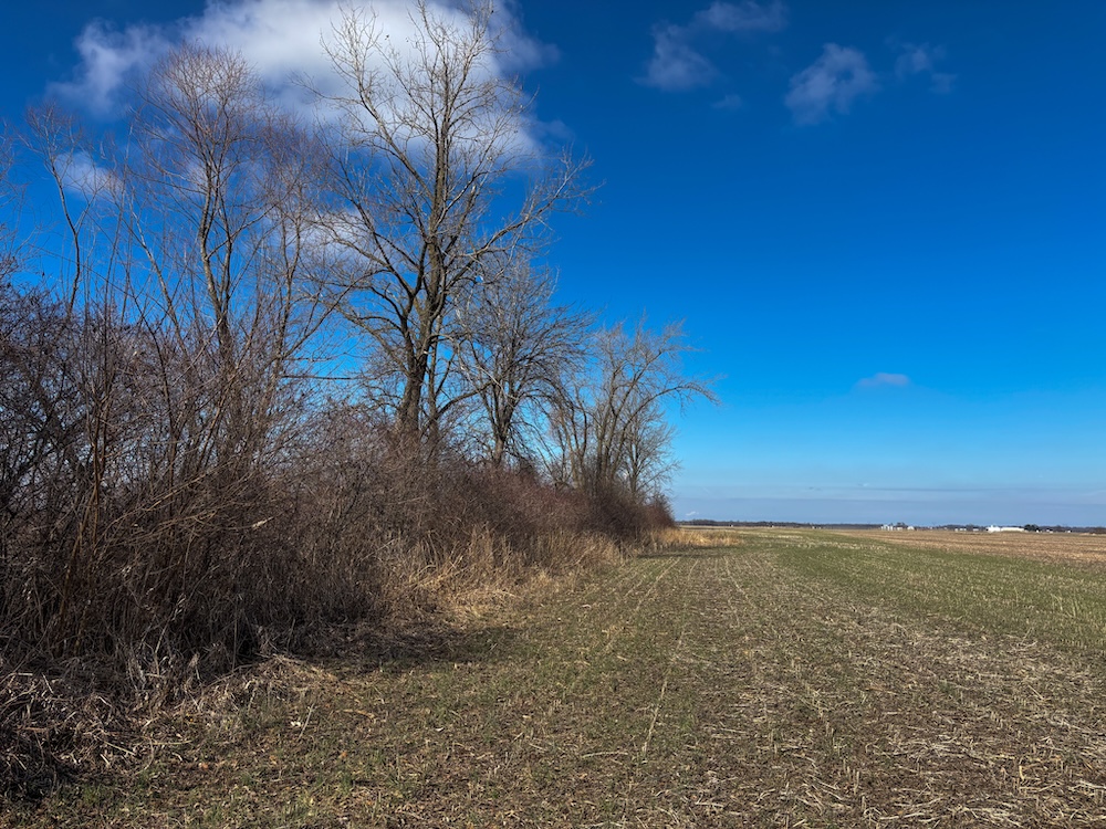
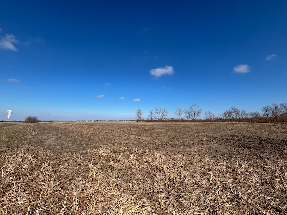
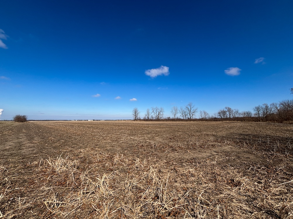
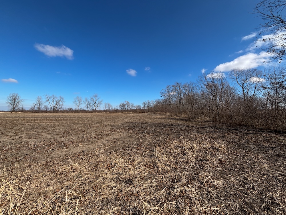
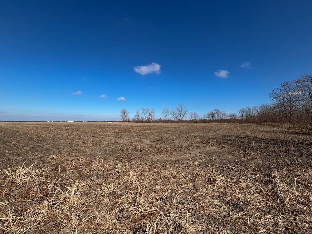
This is a mostly tillable farm located approximately 4 miles west of Carlisle, in the fertile Wabash River bottoms. This farm has an average NCCPI rating of 82.11. With the main soil types being Zipp silty clay, Ayrshire fine sandy loam, and Rensselaer loam, this farm is well-suited for productive farm use or adding an income-producing farm to your investment portfolio. As a bonus, this area is well known for its dove and waterfowl hunting along Rogers Ditch (9 Mile Ditch).
Summary
Address
Approximate Distances
Property
Land Details
Tillable
Open
Improvements/Features
Small Game, Big Game, Upland Game, Predators, Waterfowl
Details
- 130+/- Tillable acres
- 82.11 average NCCPI rating
- Solid row crop producing farm
- Located in the fertile Wabash River Bottoms of Sullivan Co
- Great waterfowl hunting along the Rogers Ditch(9 Mile Ditch)
- Area known for dove hunting
- Road frontage
Other
Coordinates
Annual Taxes


Nearby Related Properties
Stay Connected
Be Part of a Thriving Land Community!
Get the same expert advice, property strategies, and land management tips that thousands of landowners trust. Subscribe now and stay ahead in the market.