Chippewa County
Minnesota River Bottom Bucks And Waterfowl Property Near Granite Falls
490th St, lot#WP001 Granite Falls, MN 56241


Description
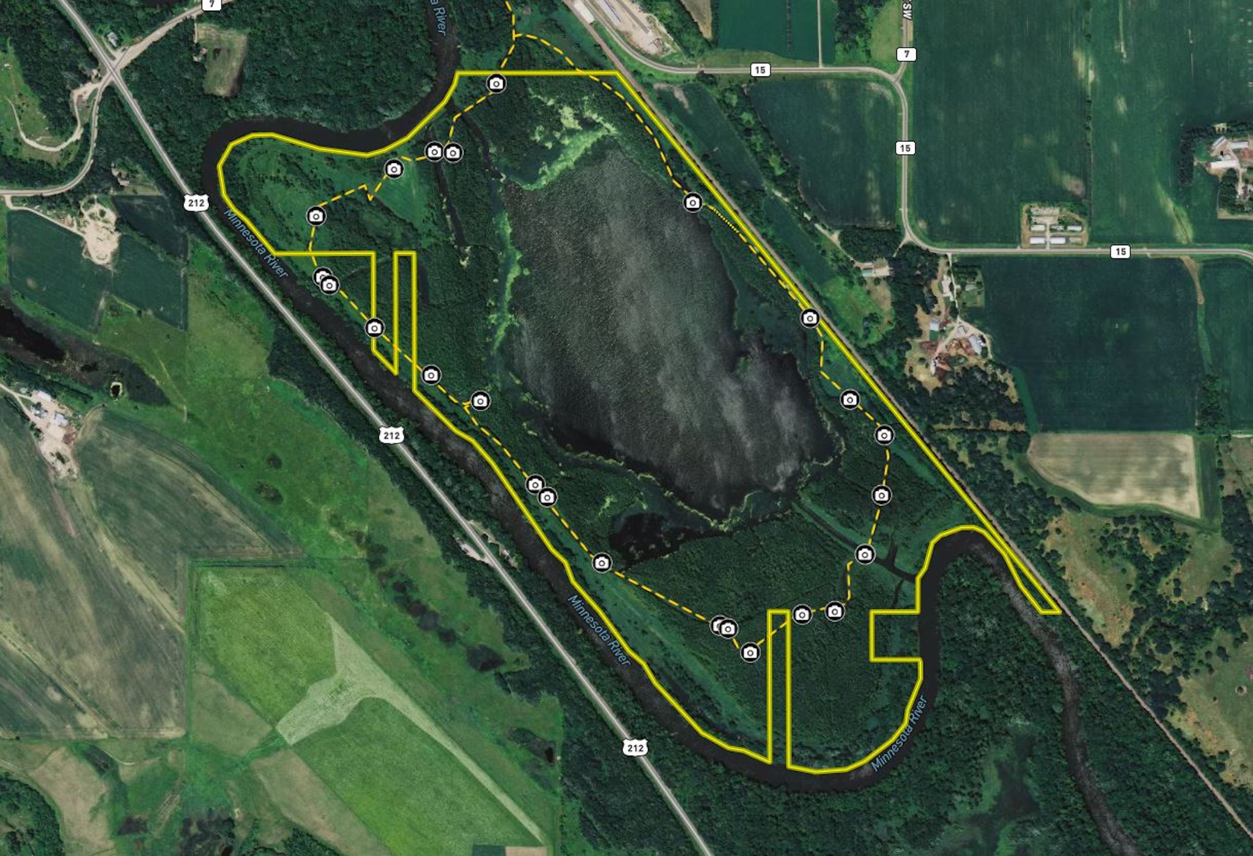
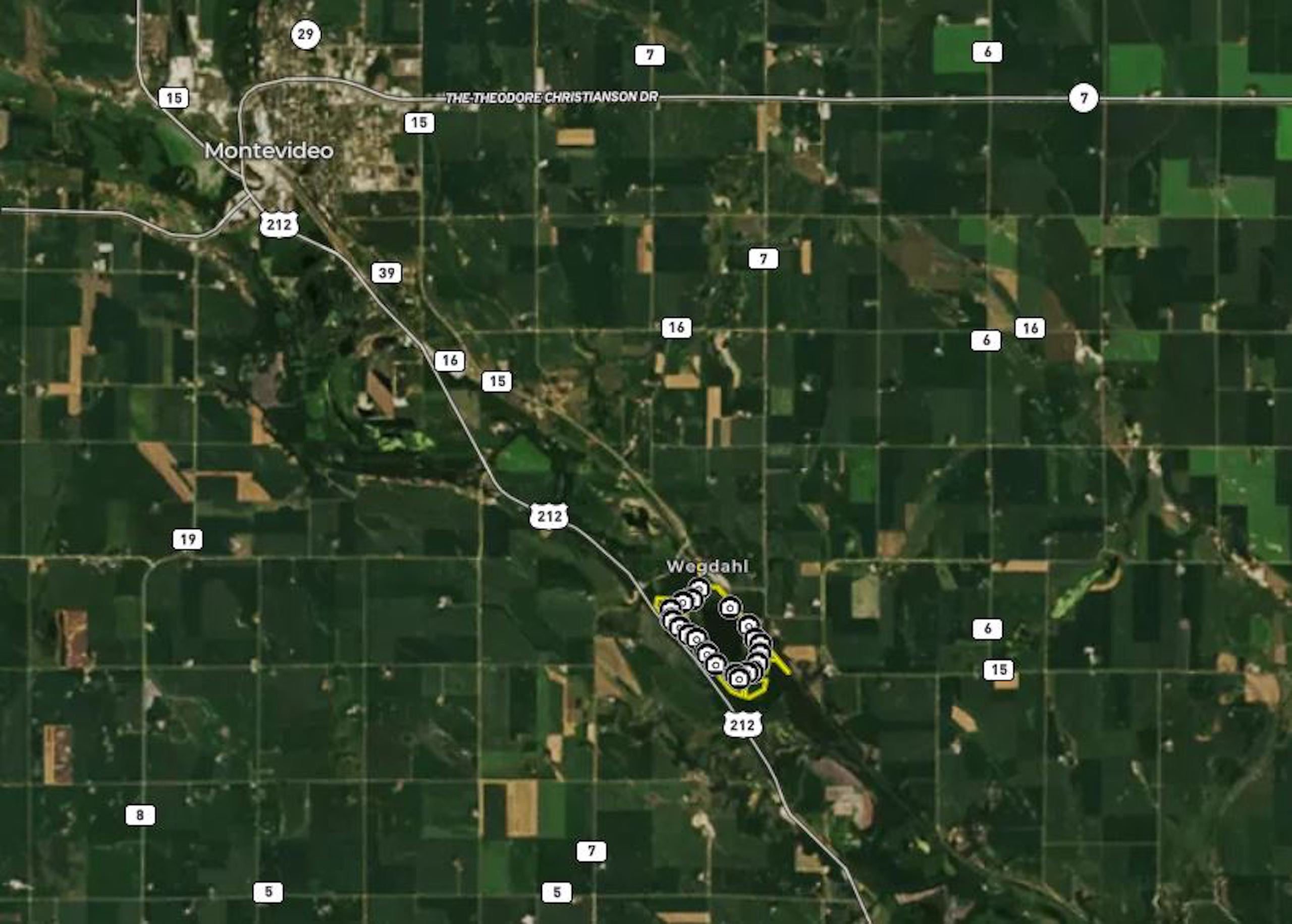
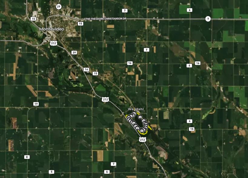
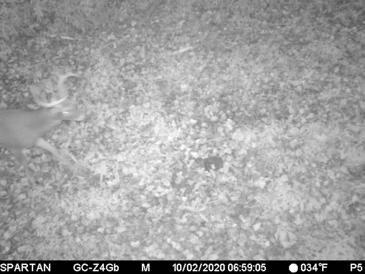
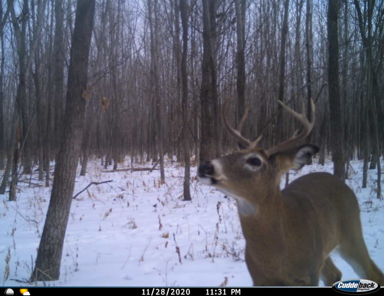
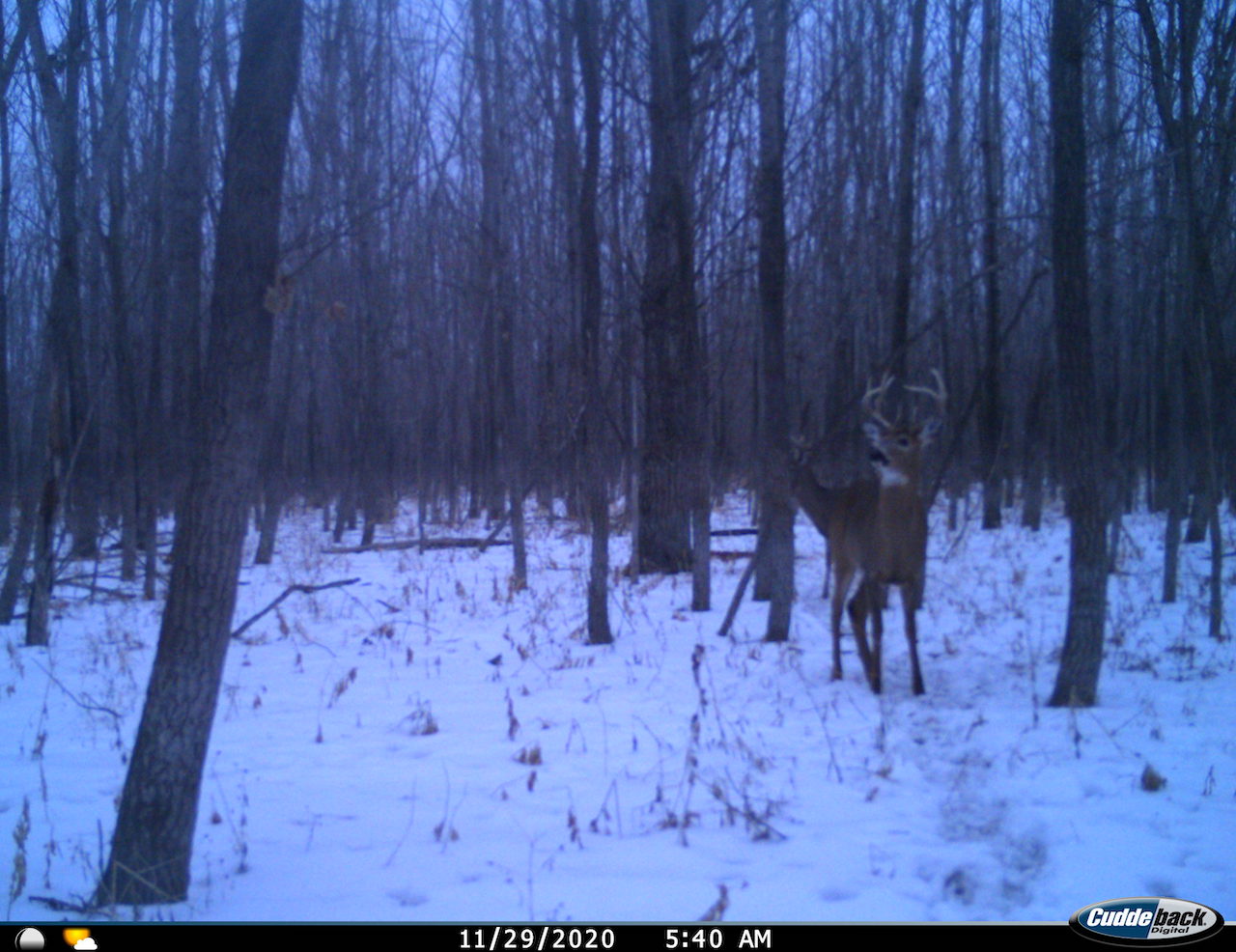
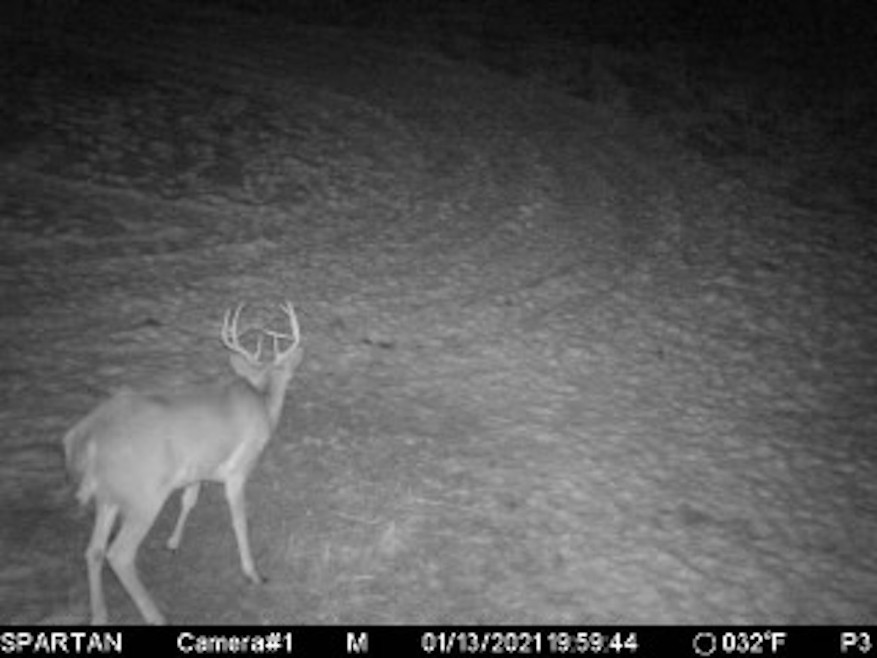
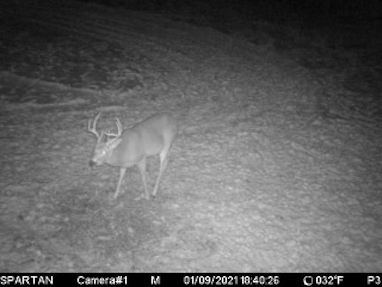
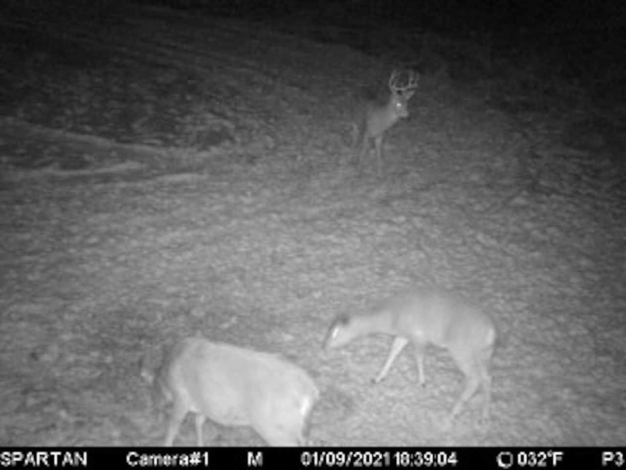
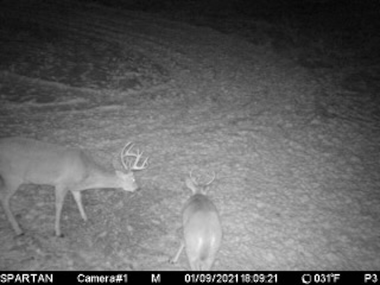
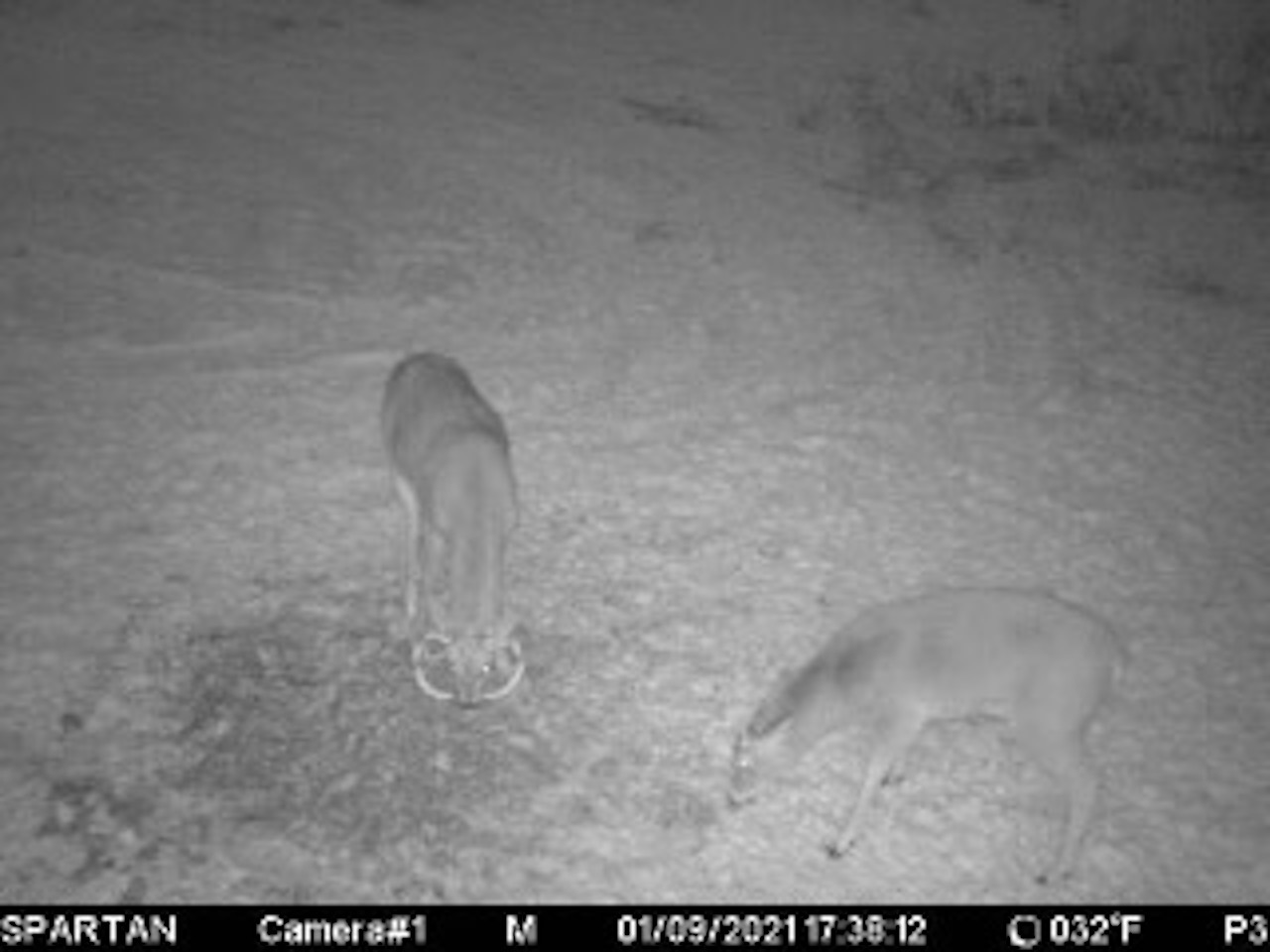
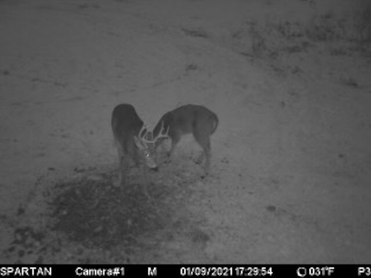
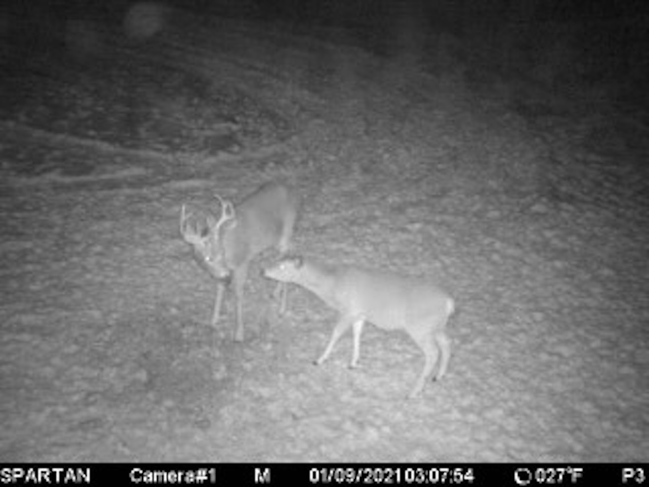
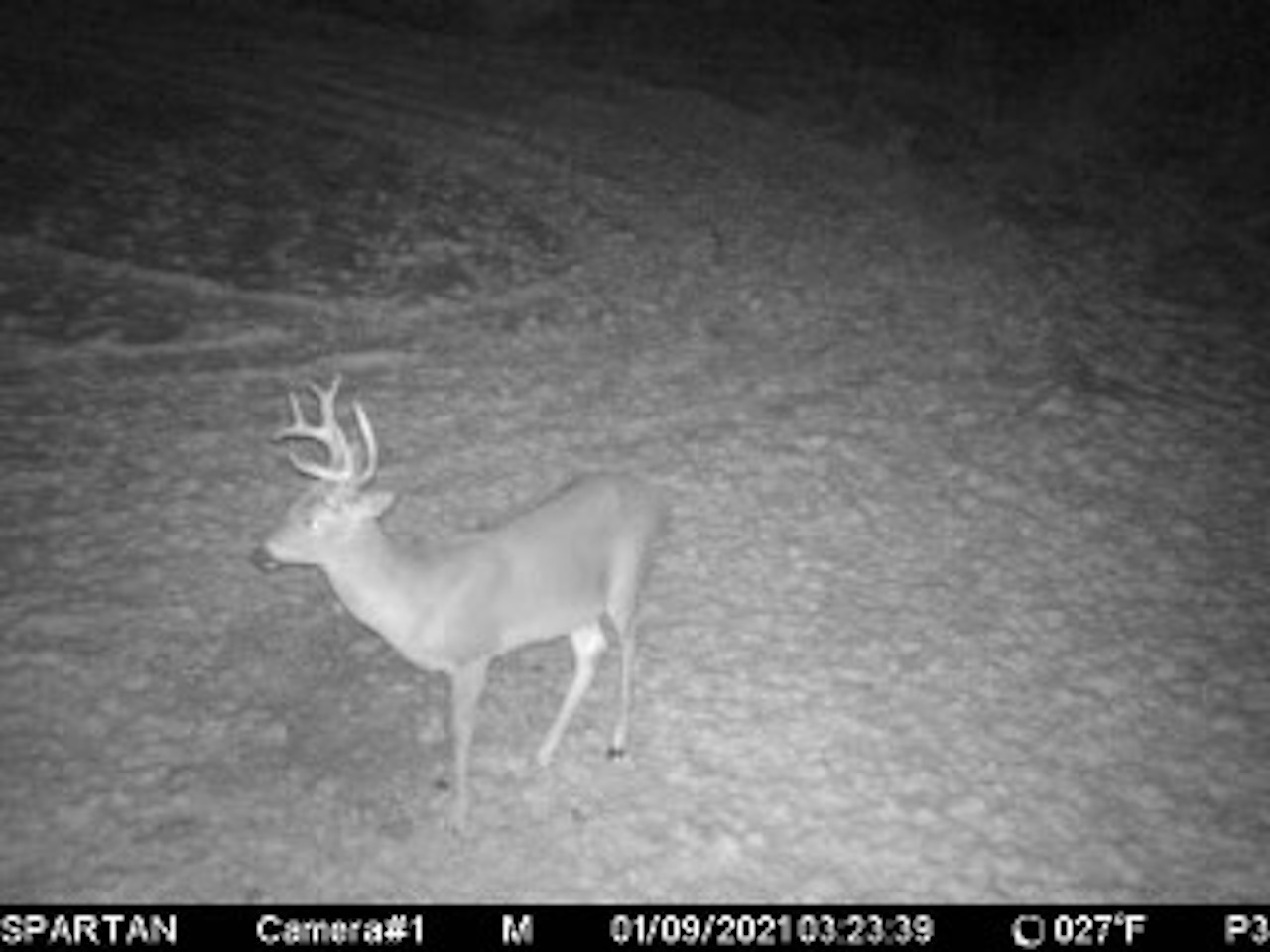
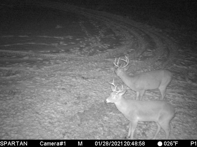
Located by Wegdahl or basically halfway between Montevideo and Granite Falls, this Minnesota River bottom property is not only located in a location known for mature bucks but it basically encompasses the entire width of the river bottom travel corridor. For starters, take a look at the aerial photo and the interactive map tabs to see the location and layout and as discussed, the overall mixed wooded river corridor goes on for miles from basically NW to SE and as you will see and understand, any buck cruising the area has almost no choice but to travel through this property. Access to the property is through the Wigdahl County park with an easement through the county land to get to it. As a side note, the park has camper slots available as well so it is a great opportunity to set up camp with your property literally right next door. The property is in the state RIM program with the wooded portions of the being primarily a mix of Green Ash, Willow, Aspen, and Cottonwood trees. Some scattered grass areas that one could establish some isolated food plot areas in addition to the approx. a 2.5-acre food plot that is generally located in the NW corner of the property which is in a great location and established in a brassica mix and whatever beans are left from the deer. The middle portion of the property as you will see fluctuates in water level from not only rainfall but associated with that, a backwater that feeds into it as the river goes up which depending on the year provides a great waterfowl opportunity. When the water is high, I can vision having some established blinds located to accommodate any wind direction. When the water is lower and the mudflats are exposed, I also can see setting up not only some water but land decoys and sitting in layout blinds and, when the water level is low, one can still hunt the river. This area is mainly controlled by a culvert control structure on the south end of it. There are multiple established trails throughout the property with the main out “loop trail” being roughly 3 miles long which happens to have deer tracks basically all along with it. There are also multiple existing stands on the property. Let’s not forget about the fishing for multiple species on the river as well and I wouldn’t rule out shooting a rooster two or even a turkey in the spring. All in all, one just has to step foot on the property to get a better idea of the cover and all that it provides so give me a shout and I’d be glad to talk about this property in further detail!
Summary
Address
Improvements/Features
Features
Road Frontage
Road Surface
Land Details
Land Type
Land and Farm Property Types
Property Type
Details
- Minnesota River bottoms
- Full width of the river corridor
- Nice mixture of wooded over and open cover
- Backwater pond are completely encompassed by the property
- Established food plot areas
- Great ares that could be established into smaller food plots
- Camping sites available basically right next to your property
- Established trail system
- Existing stands
Other
Coordinates
Annual Taxes
Sold Property
For more information or to see additional properties currently for sale see Greg Graczyk's listings.