Washington County
Medium Sized Affordable Hunting Property
Lower Salem Lower Salem, OH 45745


Description
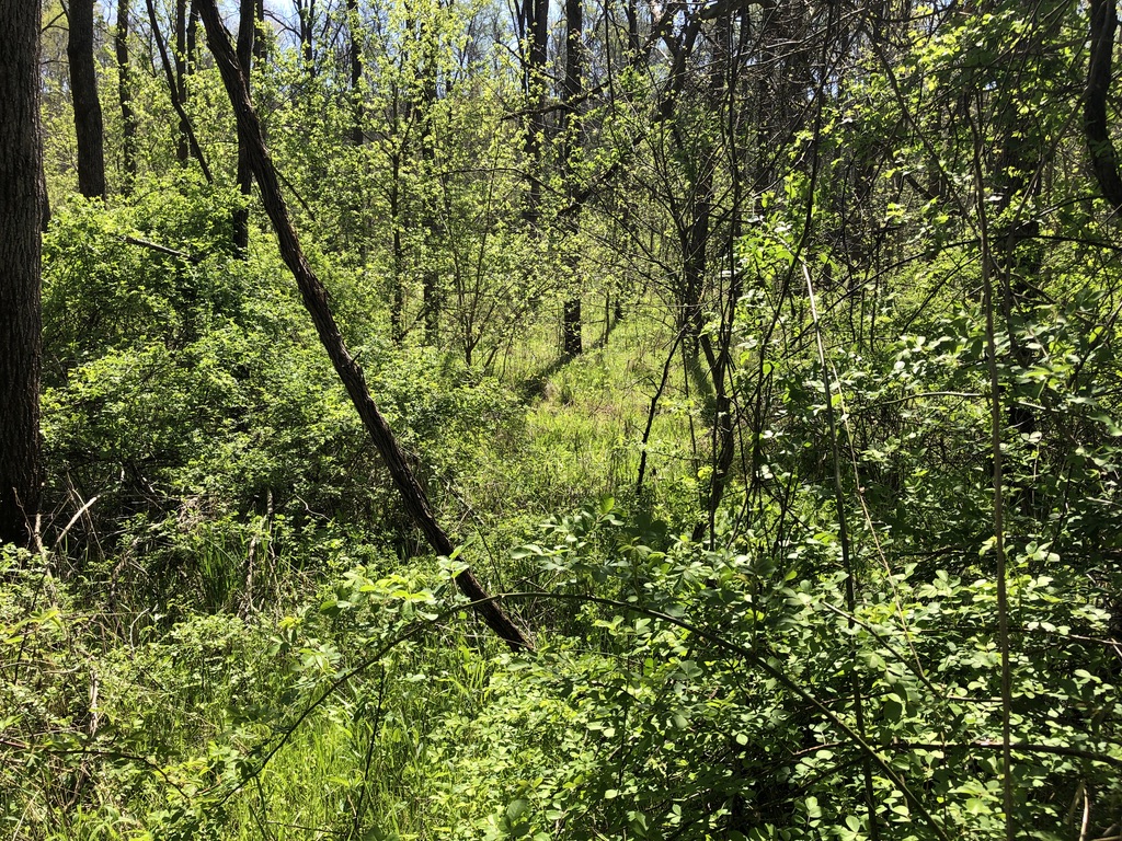
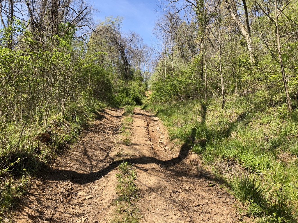
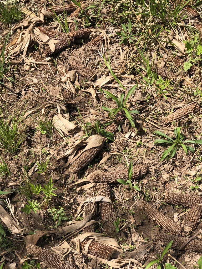
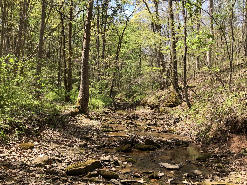
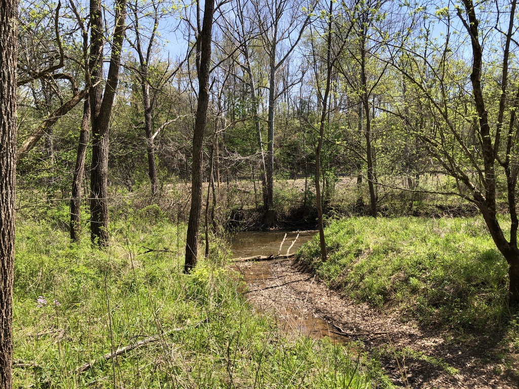
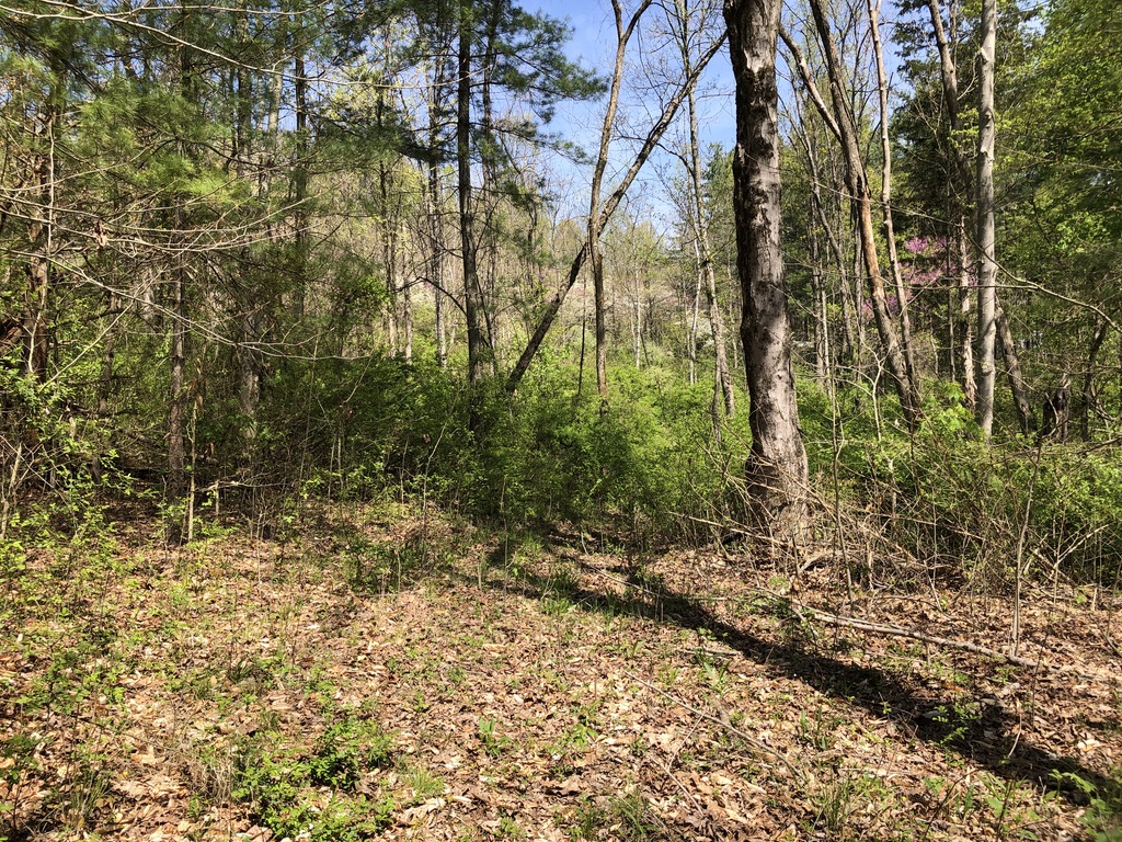
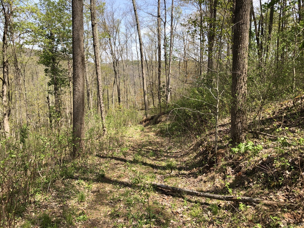
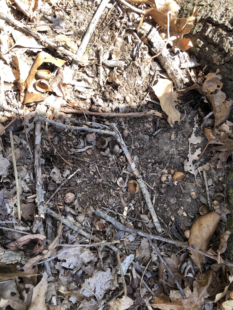
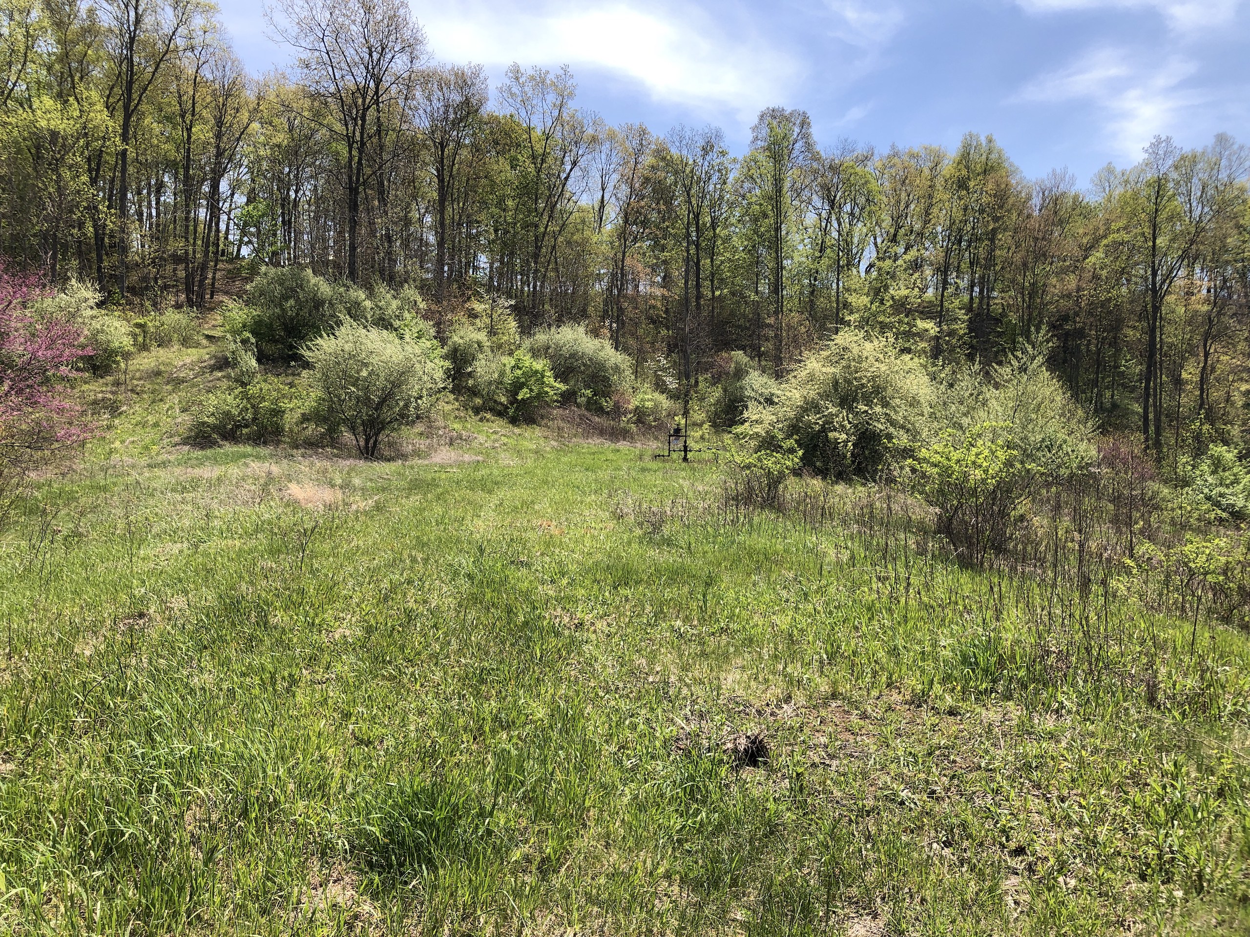
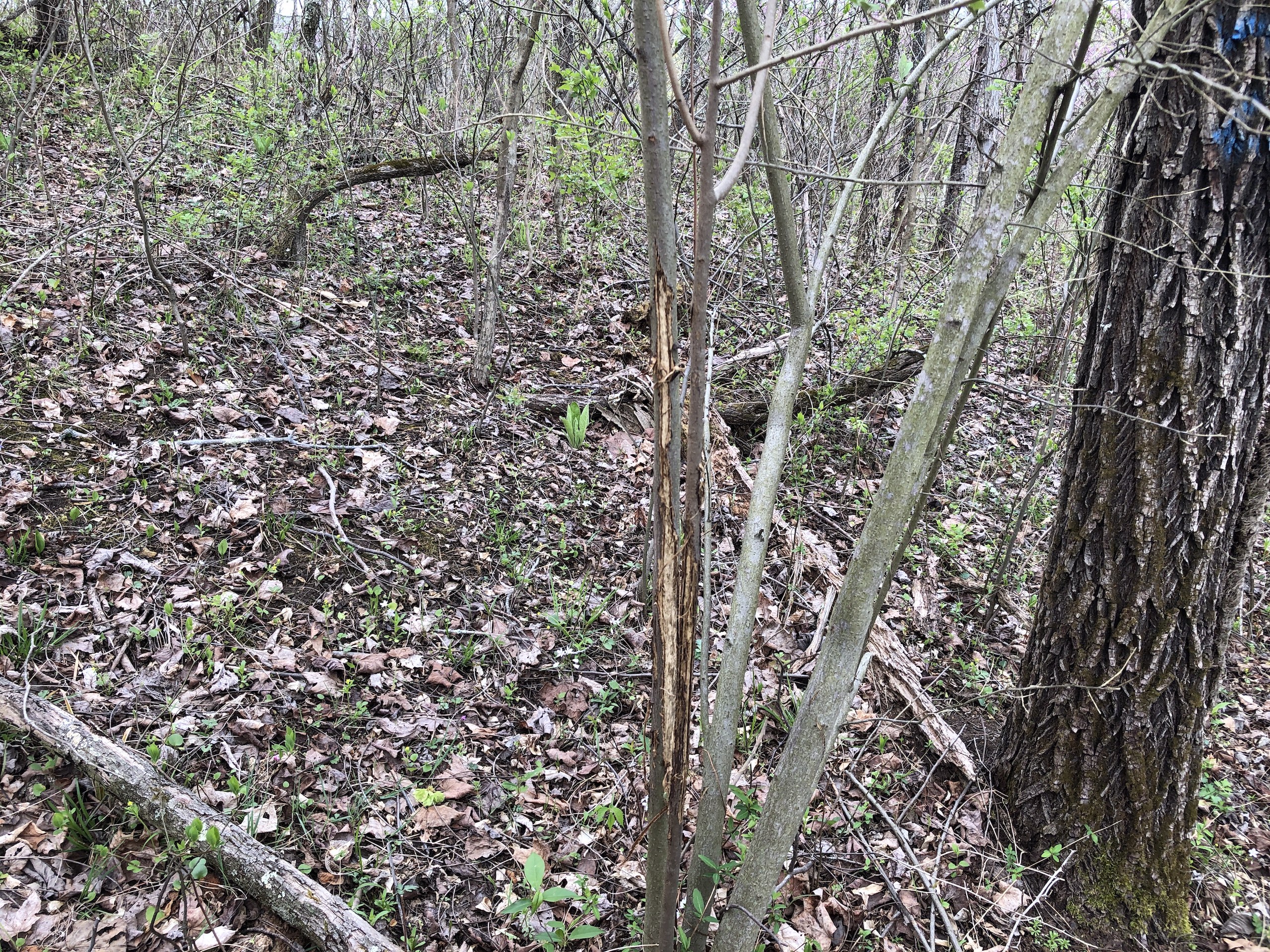
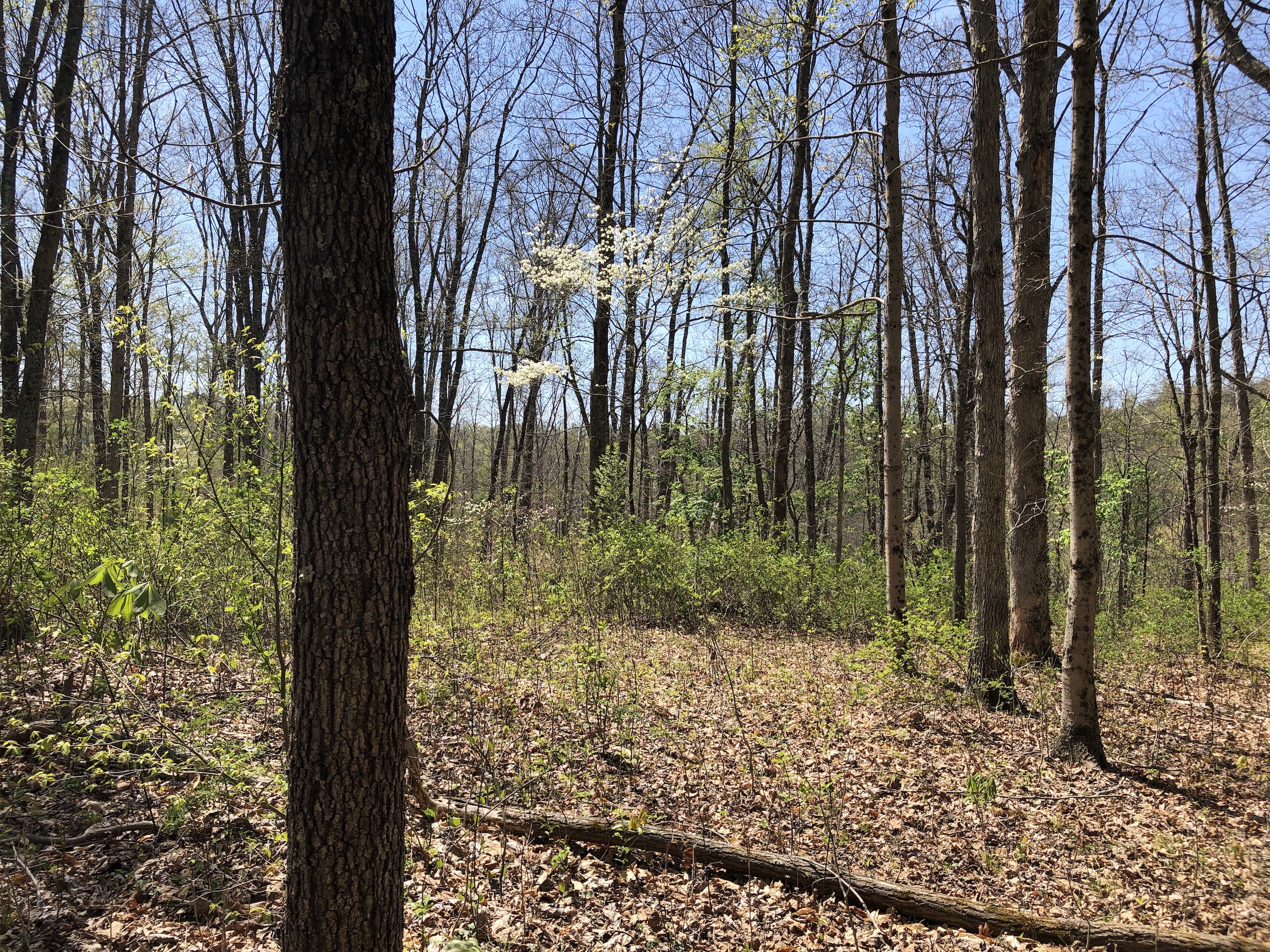
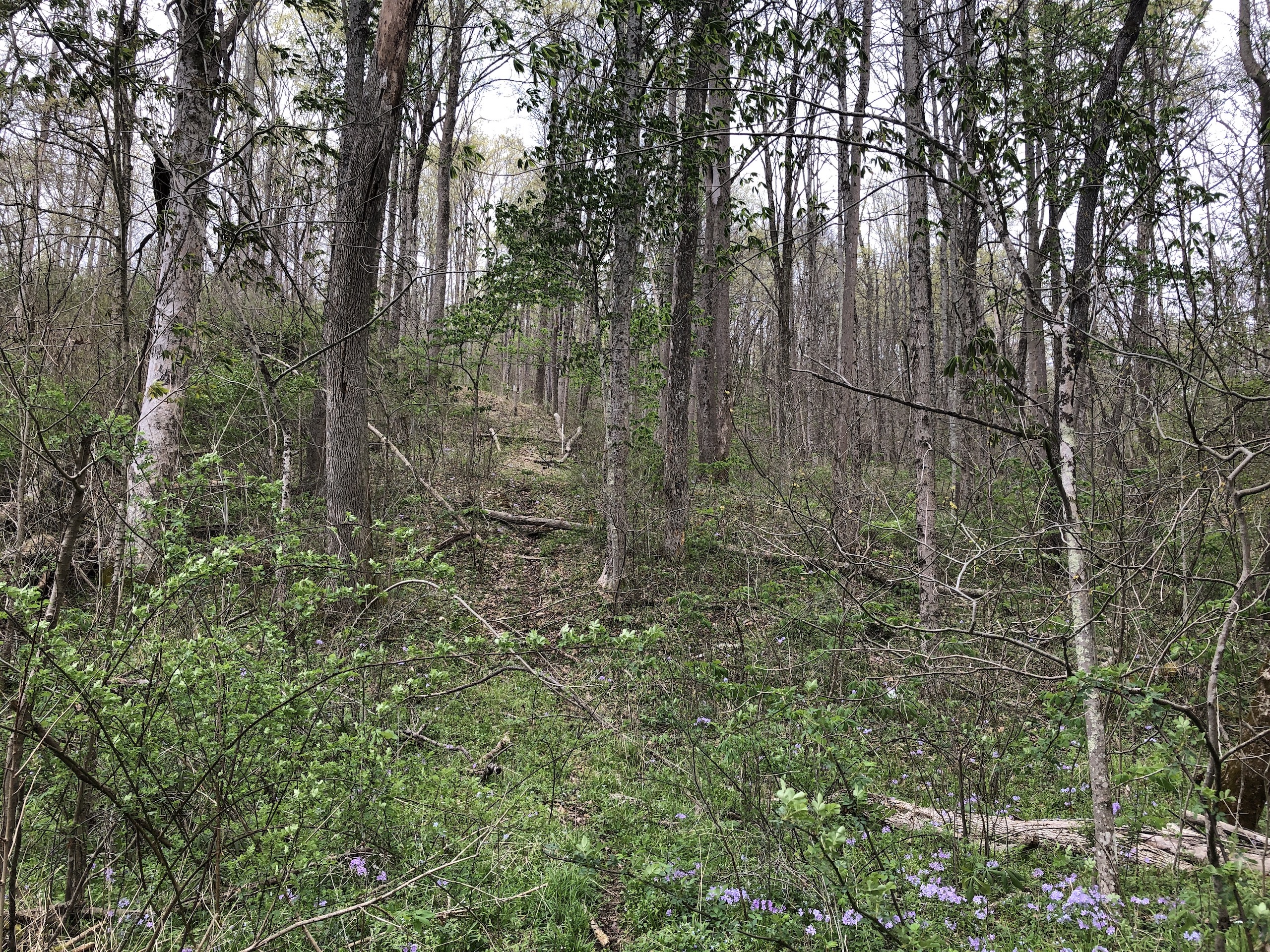
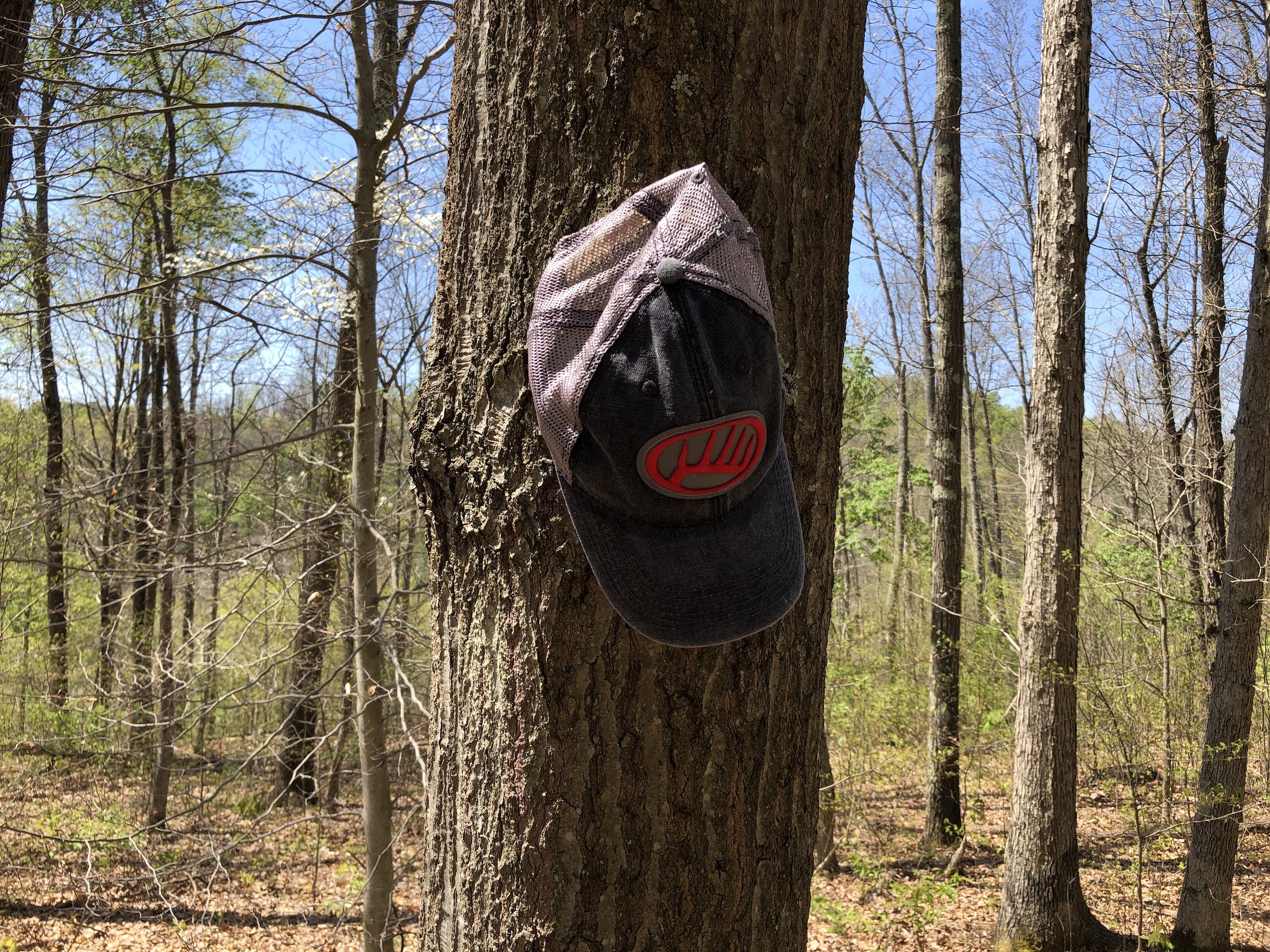
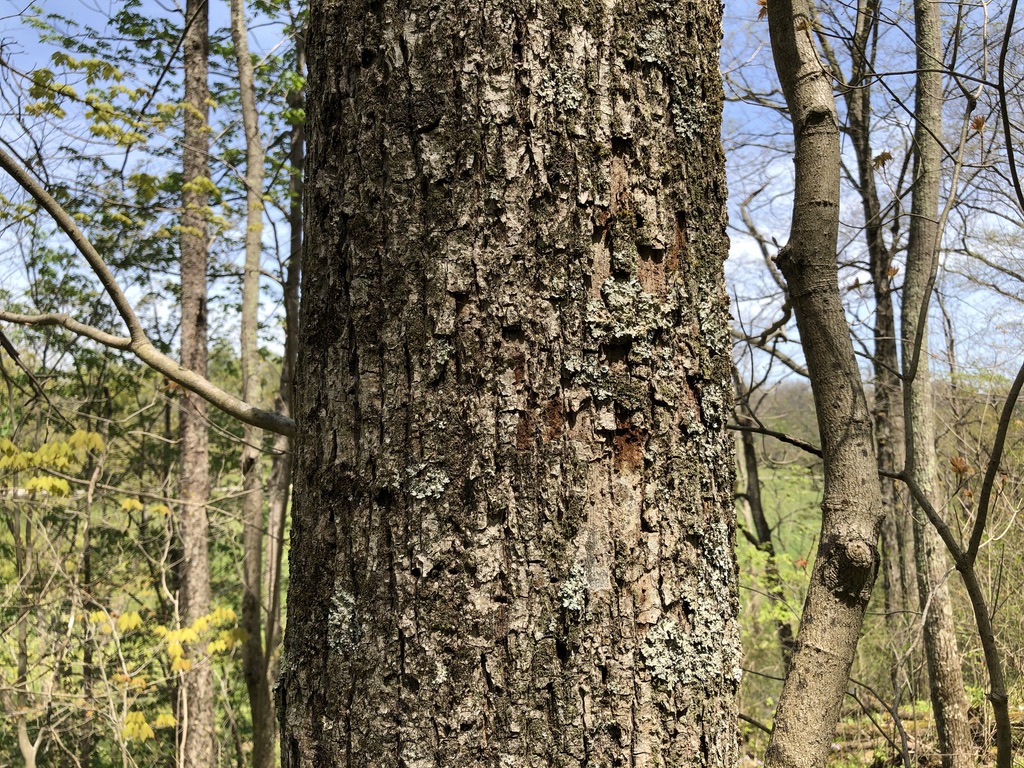
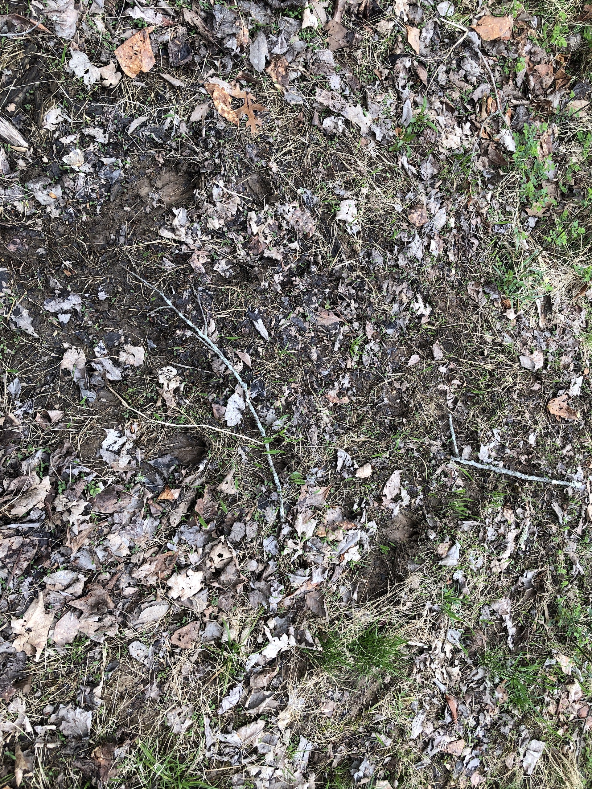
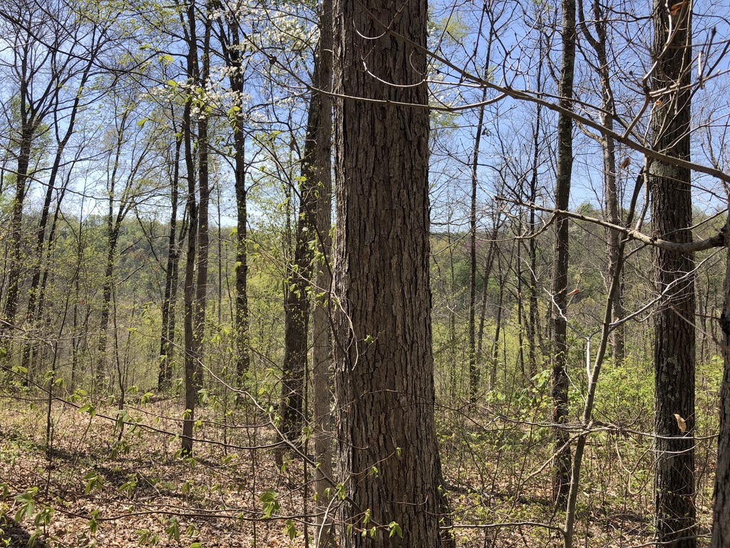
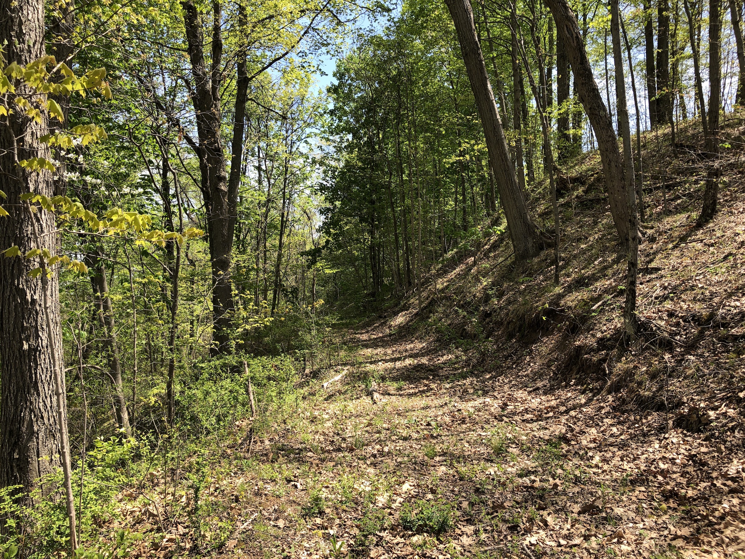
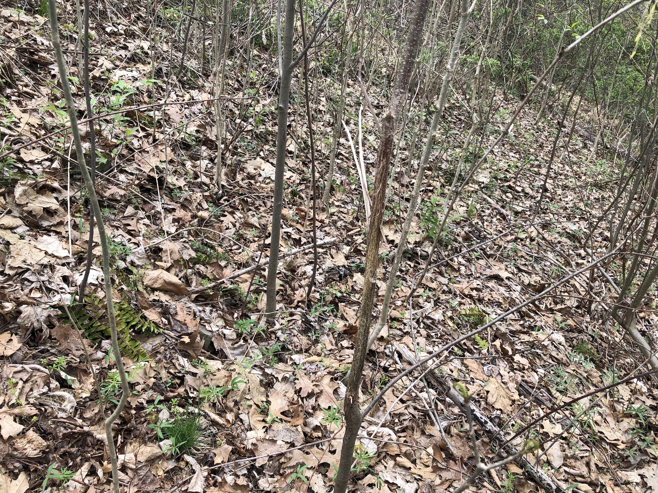
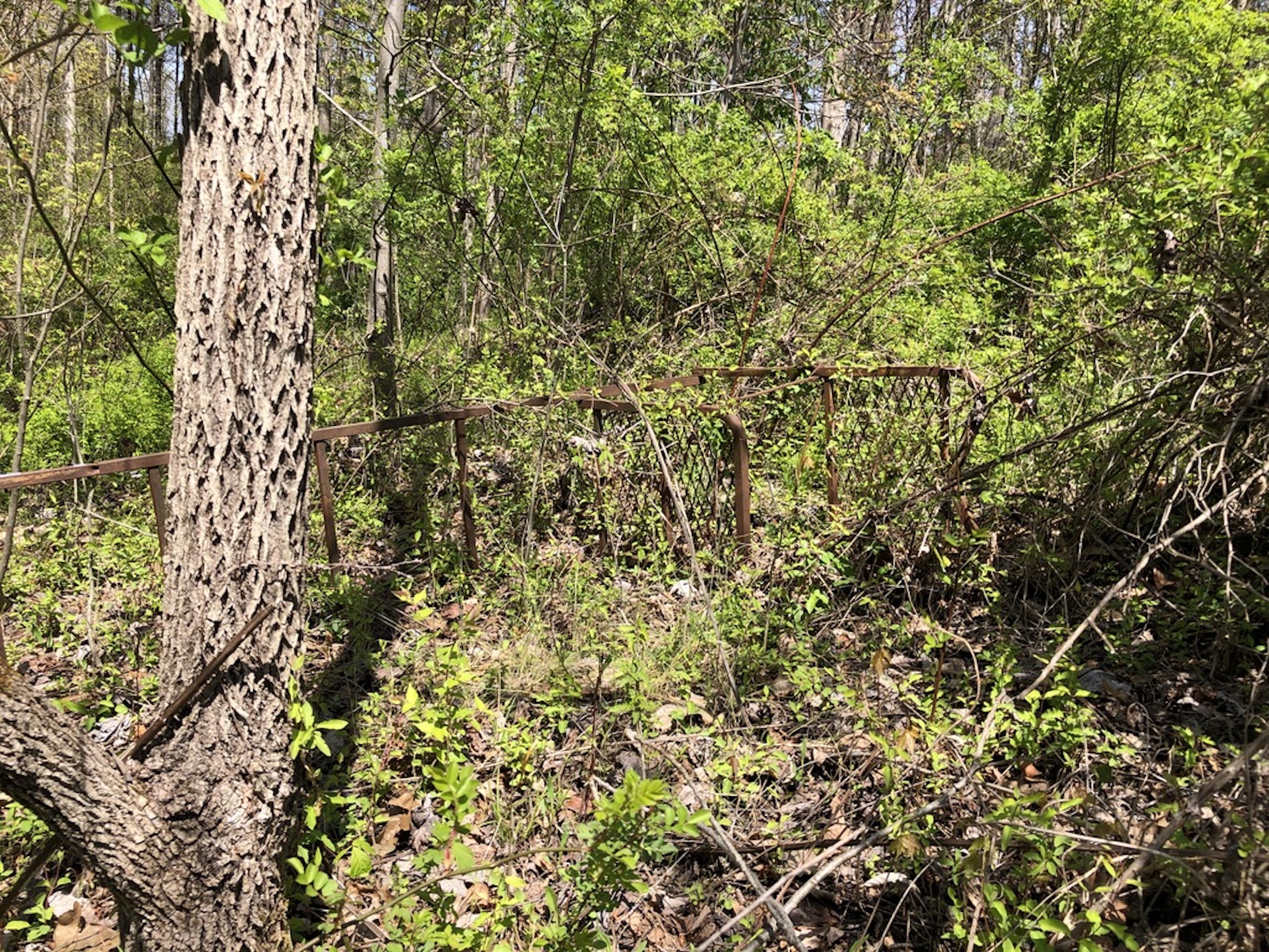
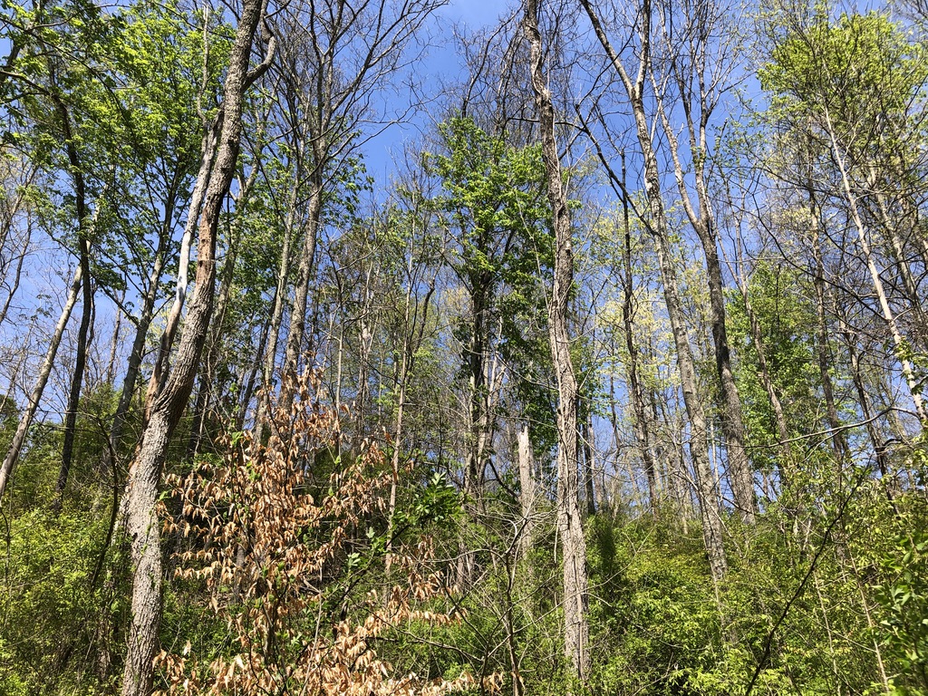
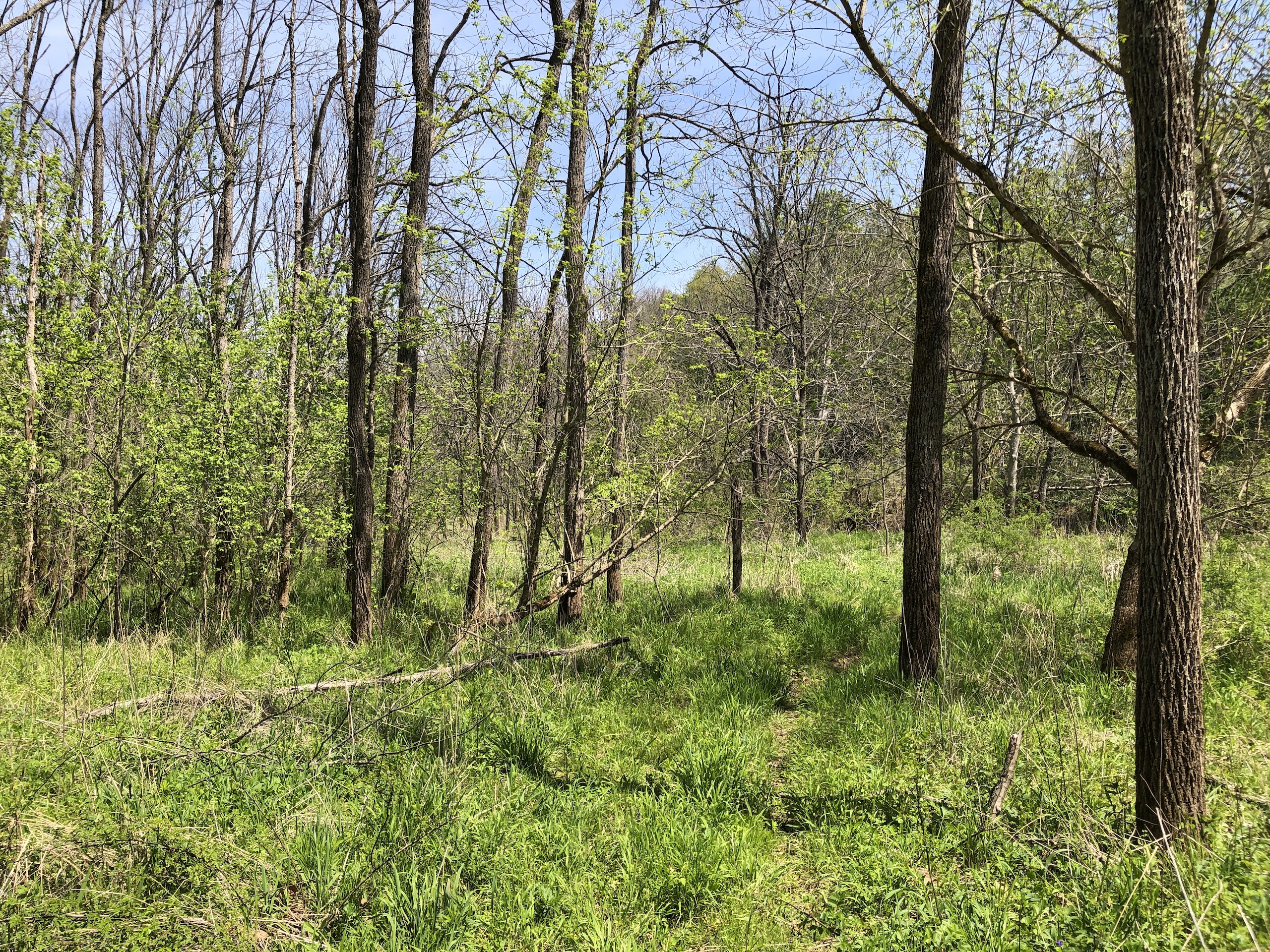
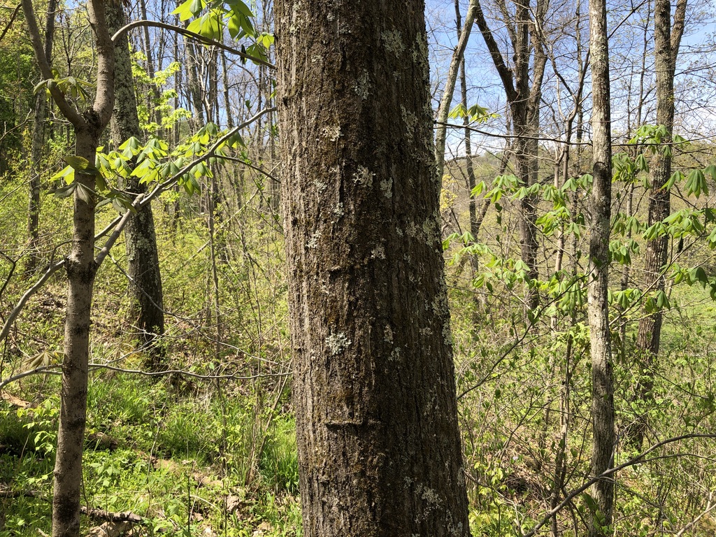
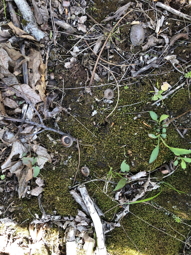
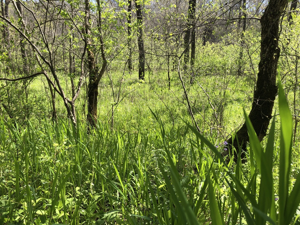
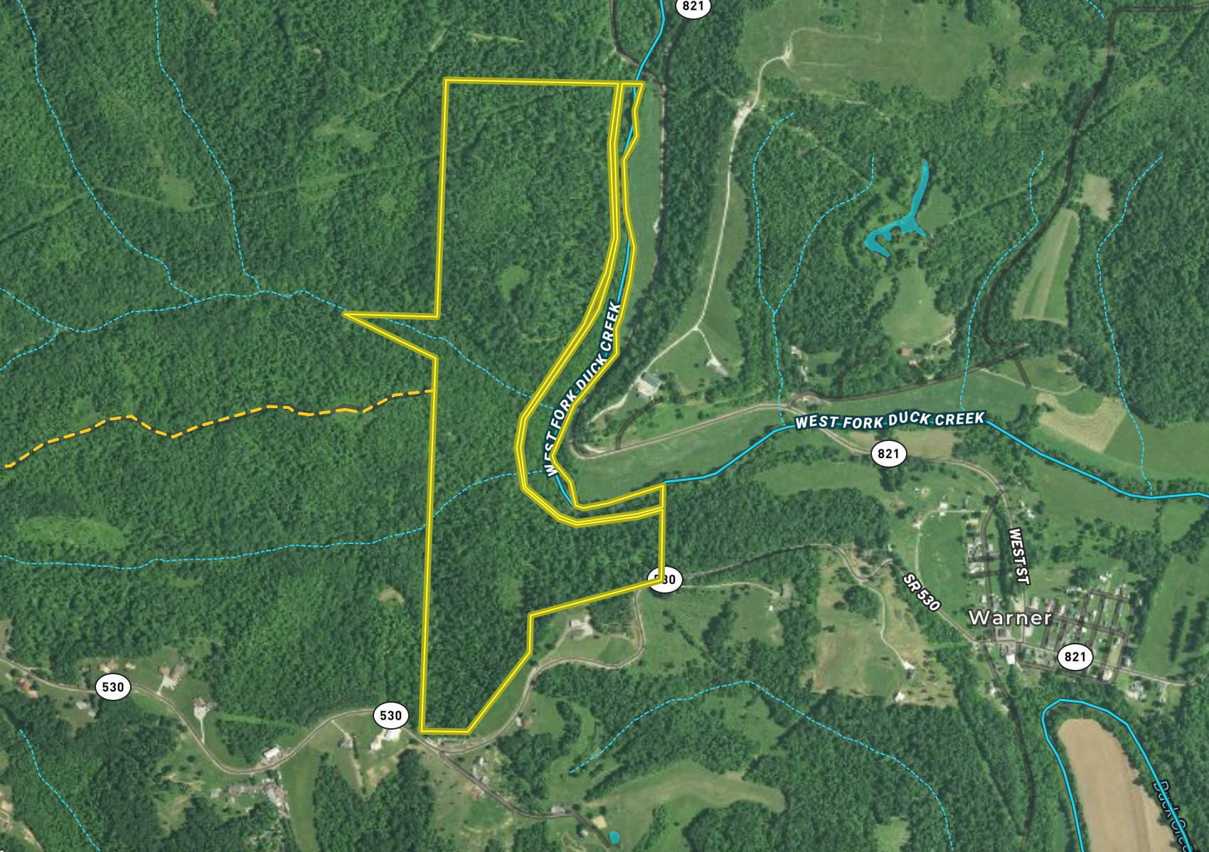
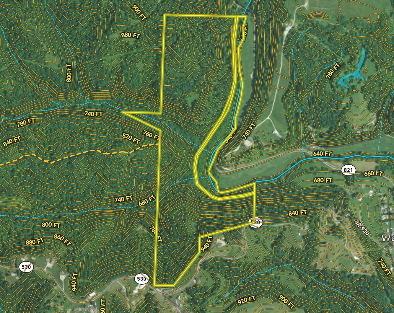
This is an exciting property because of the varied topography, cover, browse, diversity and affordability. This unique property is tucked back behind beautiful West Fork Duck Creek. The creek meanders along the eastern border of the property. There is plenty of mature timber for tree stands and forest diversity. Check out the east and west ridge above West Fork Duck Creek for oaks. Check out the ridge on the south end of the property, there are a few oaks there as well. This property is very unique in that it offers two different access points. One off of Minch Rd (a Township rd), the other off of route 530 on the South. The topography off Route 530 is amazing, bring your hiking boots. These property setups are great for hunting low in the evening and high in the morning. There are logging roads throughout which offer deer trails, access for the hunter or hiker, pinch points and they are great stand sites, allowing a quiet approach to stand locations. Along the West Fork Duck Creek, there are mature trees which will be great sites for tree stand locations and another fantastic location for food plotting. These creek bottoms offer great soil and should produce some excellent food source locations. The creek bottom is especially unique on this property because of a bend in the creek that holds a huge flat for food plotting. There are also deep pools in the creek which offer year-round water, duck hunting opportunities, and fishing. In the middle of the property, sandwiched in between the logging roads is a thick dense cover that offers the deer and turkey sanctuary and security. There are many trails weaving in and out of these thick areas. This is a logged property but still offers mature timber and great access. Logged forests allow the sunlight in and this, in turn, gives native weeds, trees, and grasses a chance to grow, which offers awesome browse for deer. Check out the isolated pockets of clear flat ground which would make great locations for clover or some throw and grow!!!! Properties like this offer excellent opportunities for mature deer, as the property is neighbored by large private tracts of land. Based on the observed sign, it should be a great place for turkey hunting also. Did I mention VALUE? Look at today's property values, this one speaks for itself!! If you are looking for an affordable and diverse property, this is the one. Call or text Brian Whitt (937)545.7764 or Josh Grant (330)341.0997 today to schedule your showing.
Summary
Address
Features
Road Surface
Fencing
Improvements/Features
Land Type
Land and Farm Property Types
Feeds
Property Type
Details
- Property is 20 minutes +\- north of Historic Marietta, Ohio
- Property is 20 minutes +\- from Ohio River
- Total of 7 tracts of land, awesome size and very diverse
- Property is 20 minutes +\- from sections of Wayne National Forest, offering additional hunting opportunities. Follow link
- Some marketable timber, and some big oaks scattered throughout property
- Diverse property offering browse, nut producing trees, cover, and water
- Loaded with deer and turkey
- Awesome fertile creek bottom for potential food plots
- Hilly beautiful terrain, very remote
- Easy access from two locations off of route 530
- Logging roads for easy access within property
- Will require survey
- Annual Taxes are (estimated) $520
- Use GPS Coordinates: 5750 State Route 530, Lowell, Ohio , 45744. Access to property is across the street from this address. Use Latitude: 39.5642, Longitude -81.4480.
- Follow yellow “tracker” for Minch Rd. Minch Rd. is a township rd. Minch rd. is also labeled T114. Use Lat: 39.56 74, Long: -81.433 to guide you to entry into Fritsche 128.