Emery County
Olsen's Overlook Hunting And Rec Land For Sale In Central UT
TBD Emery, UT 84522


Description
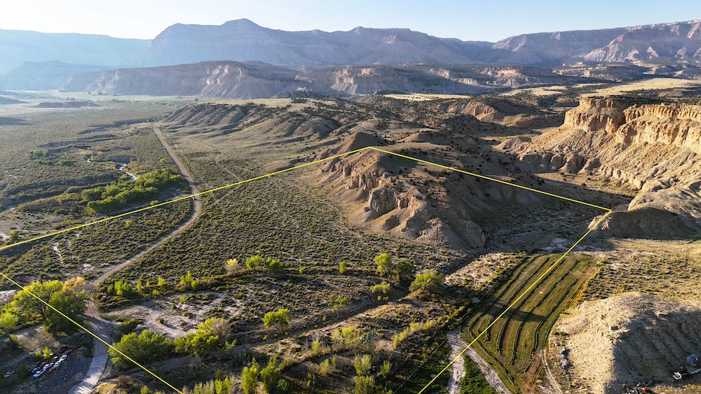
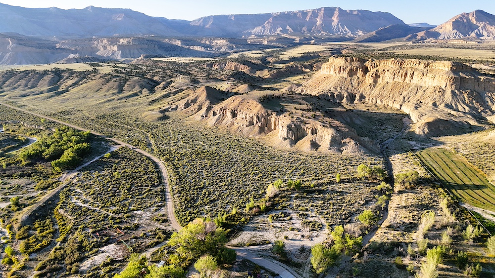
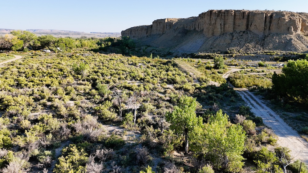
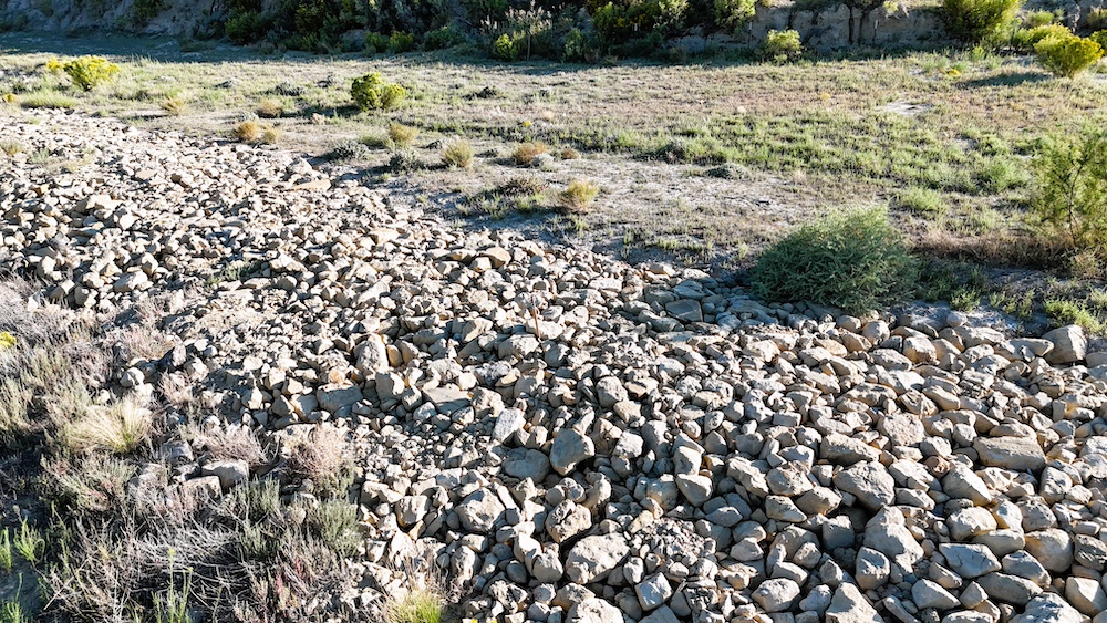
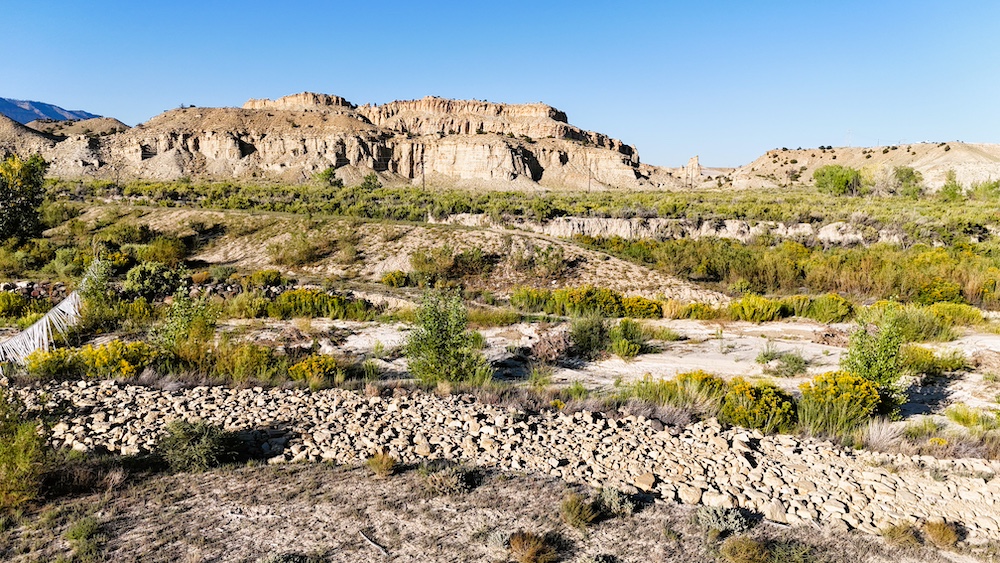
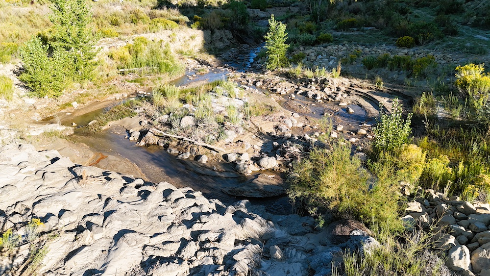
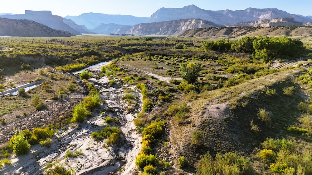
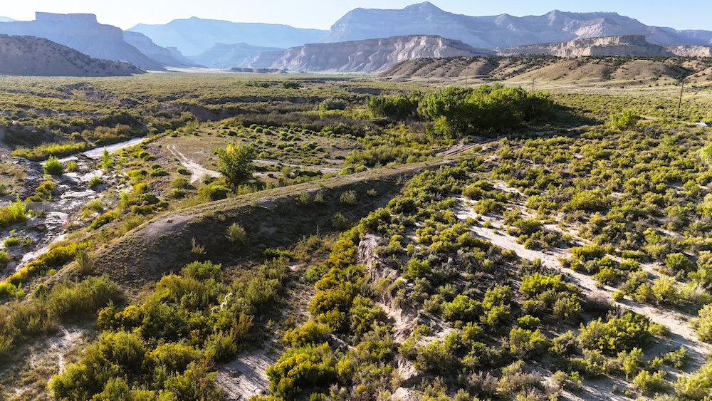
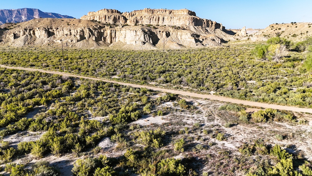
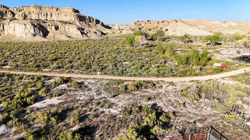
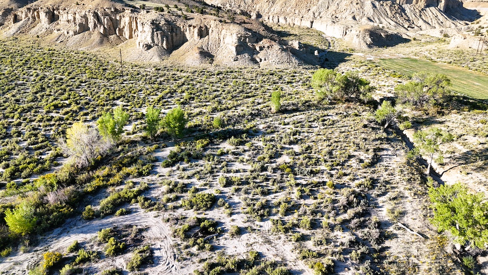
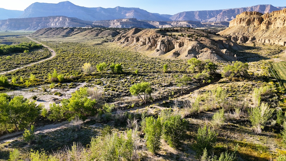
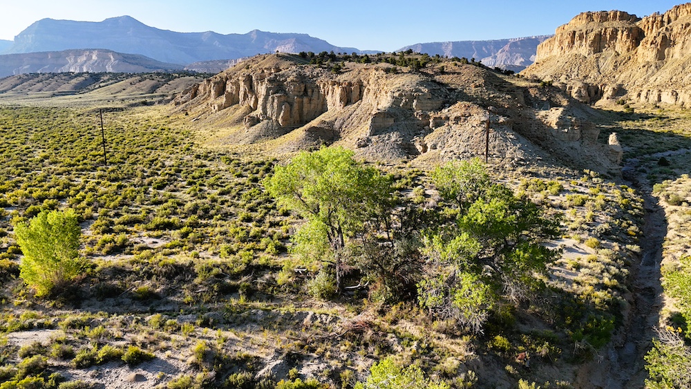
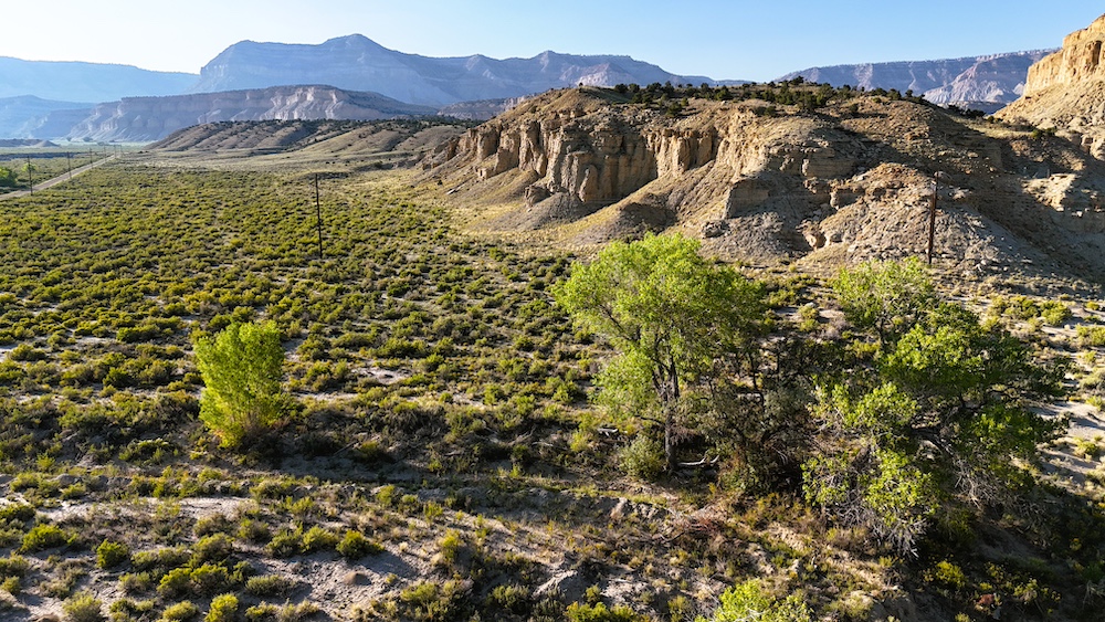
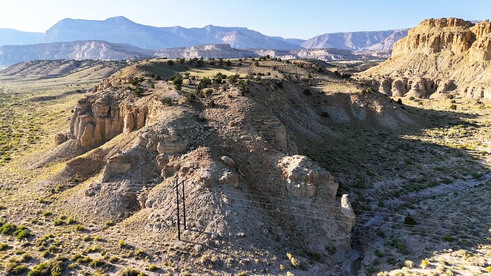
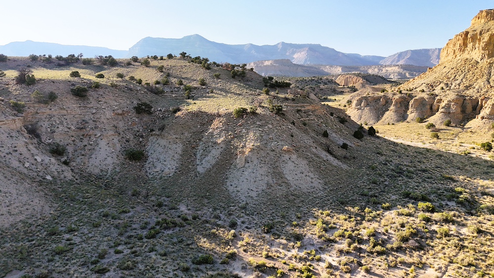
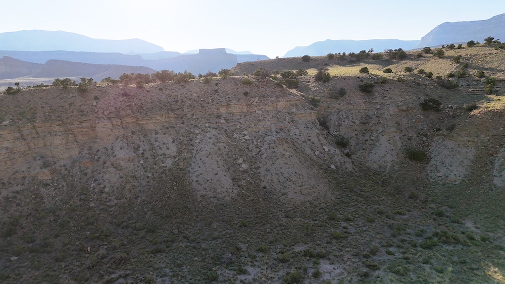
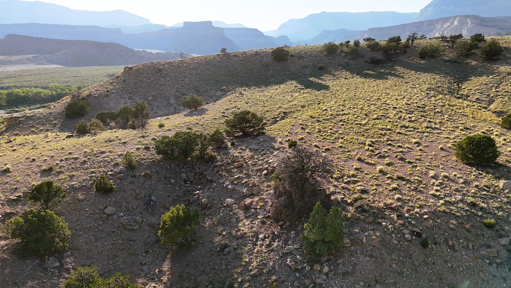
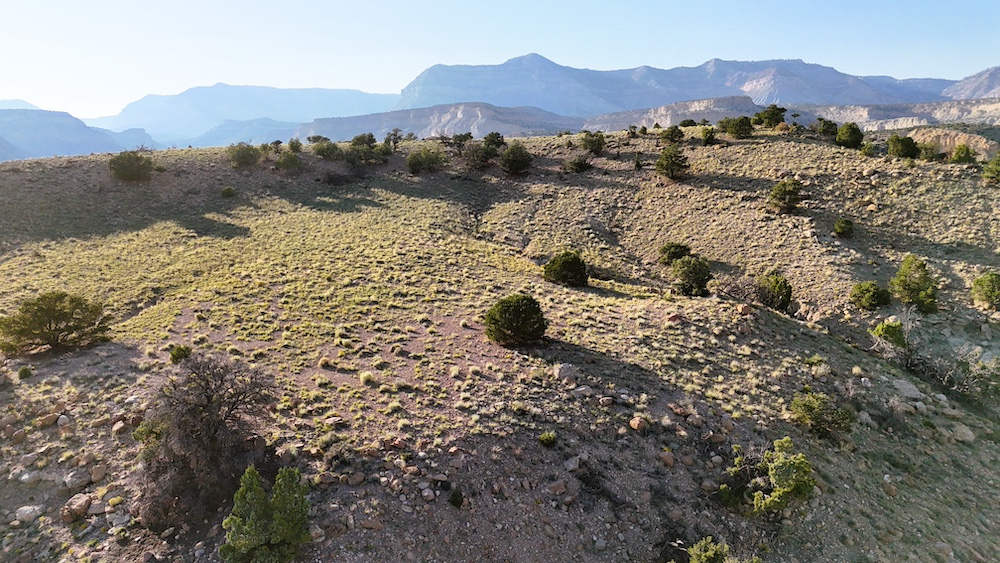
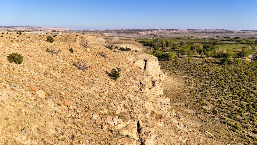
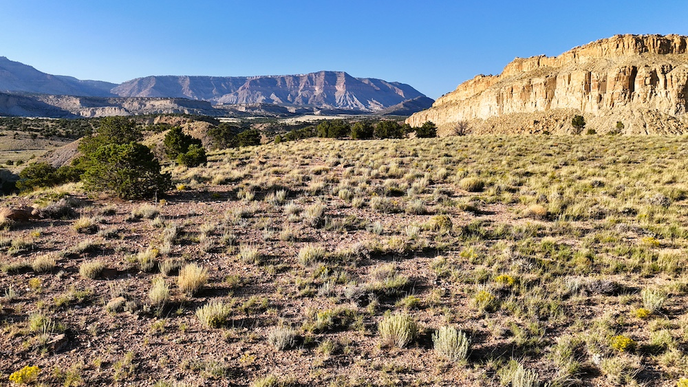
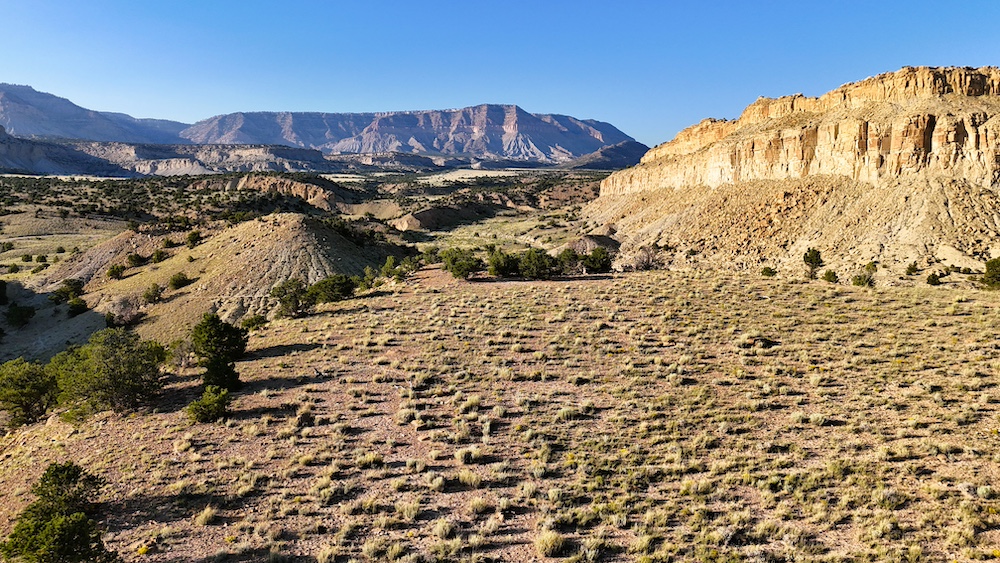
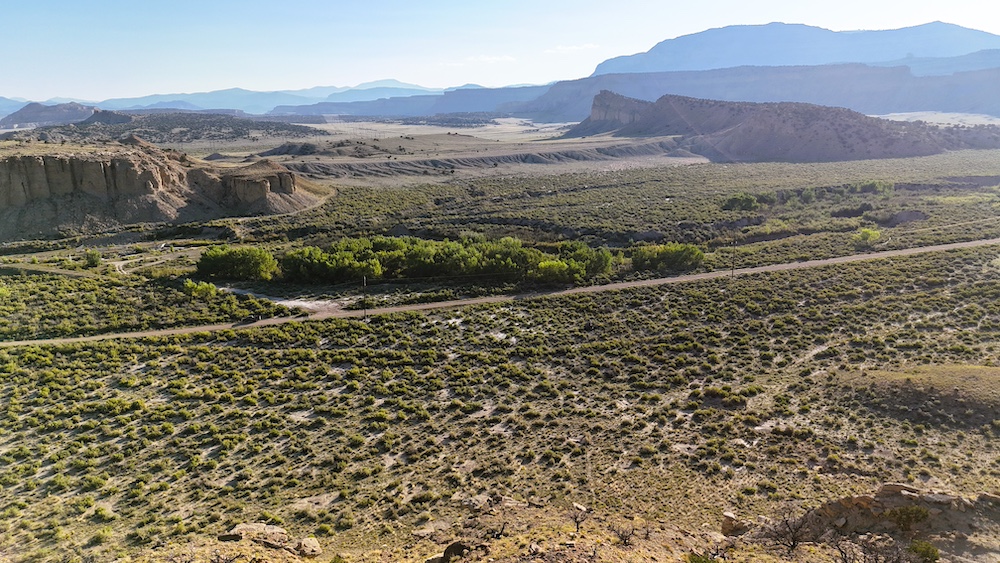
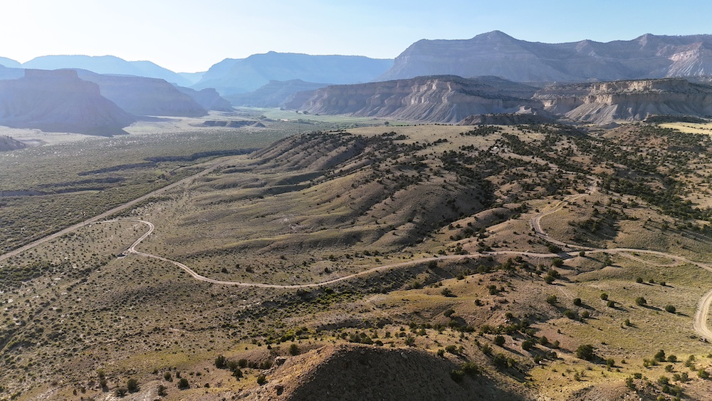
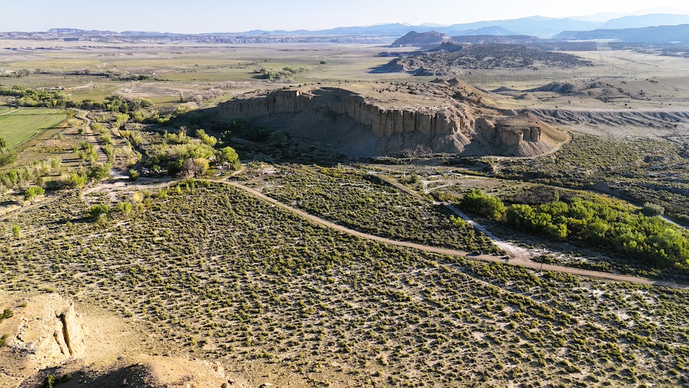
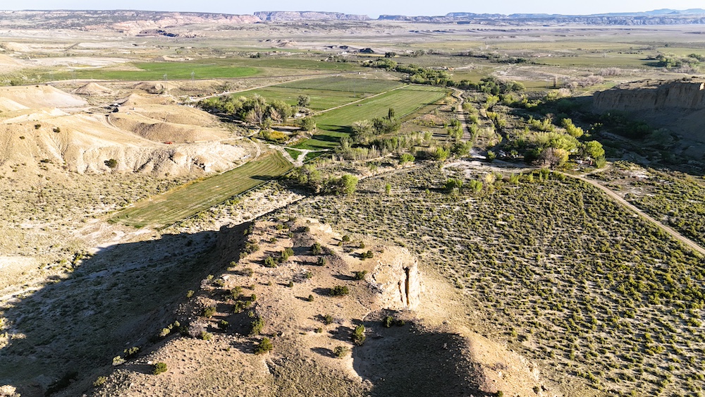
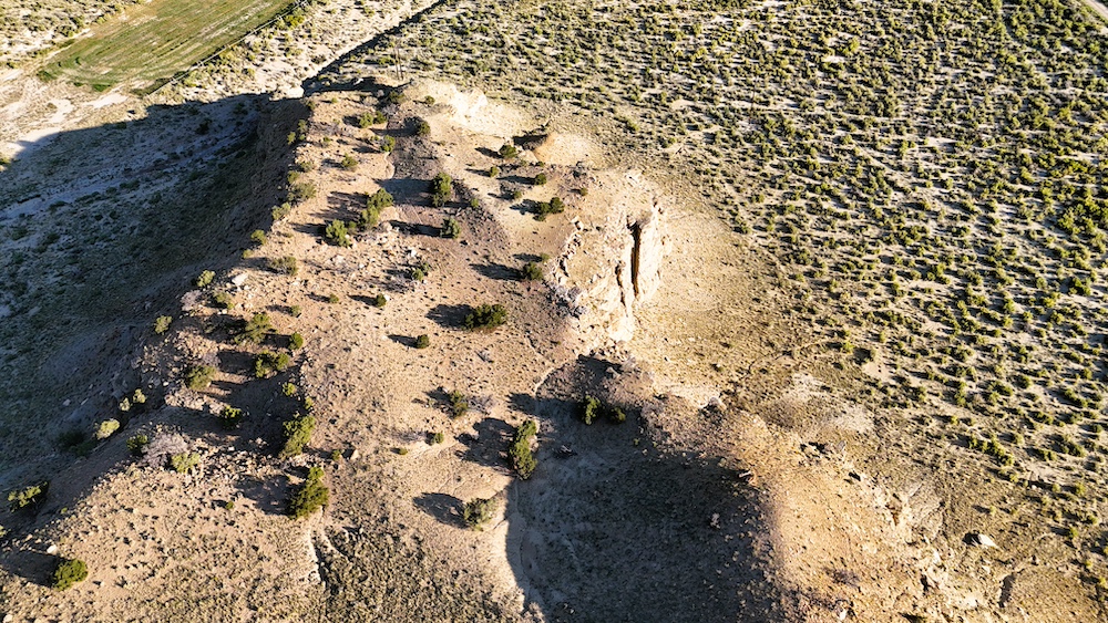
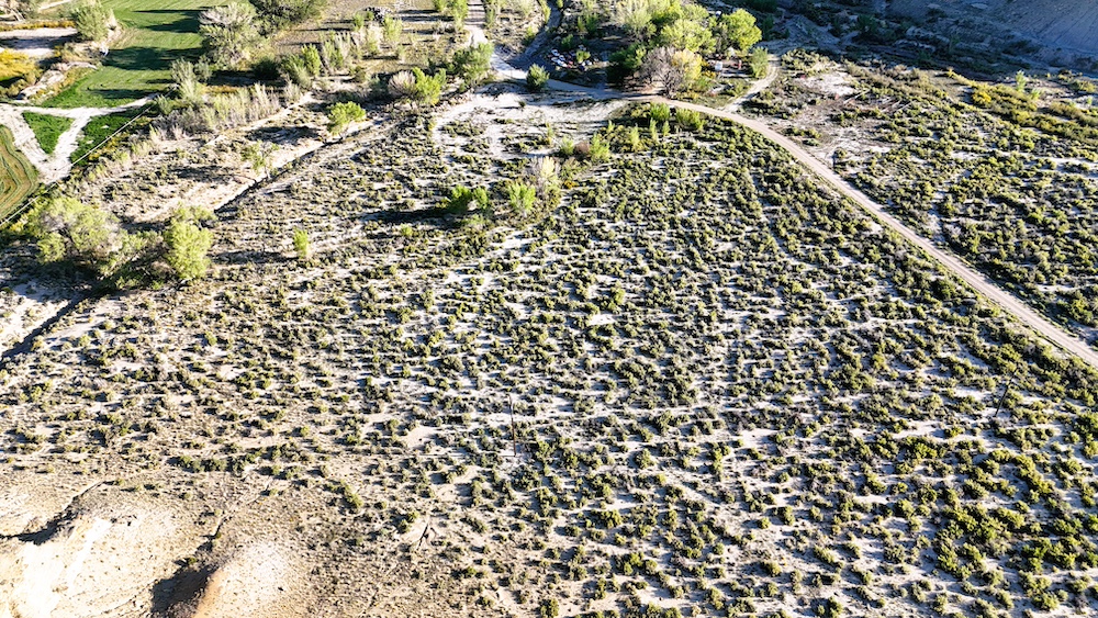
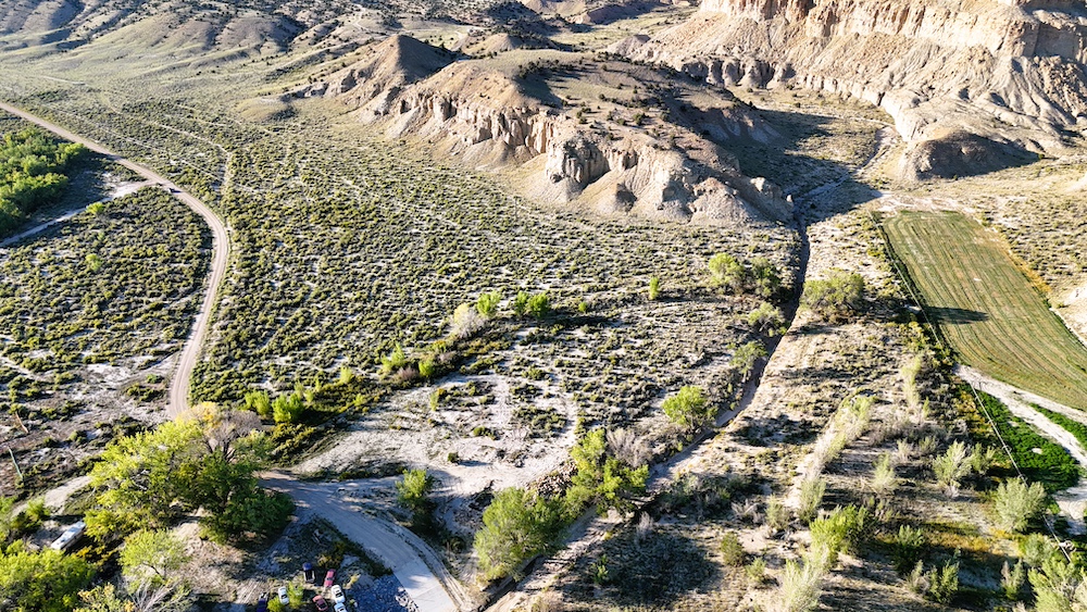
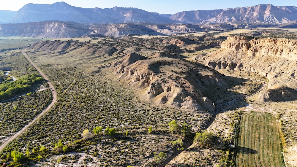
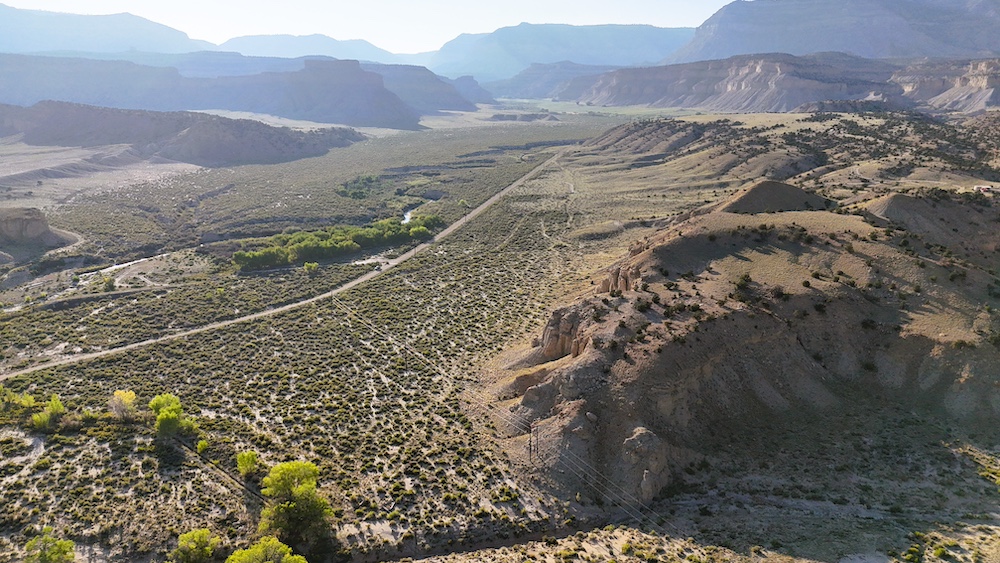
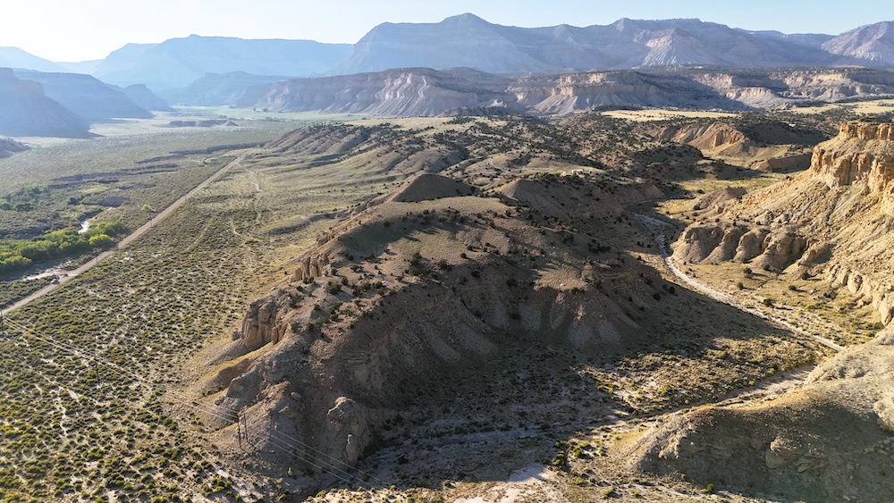
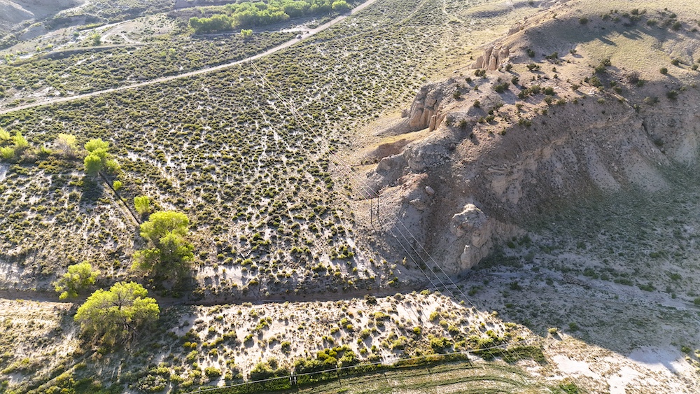
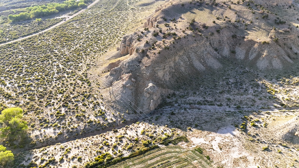
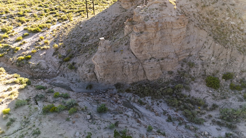
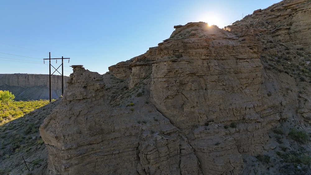
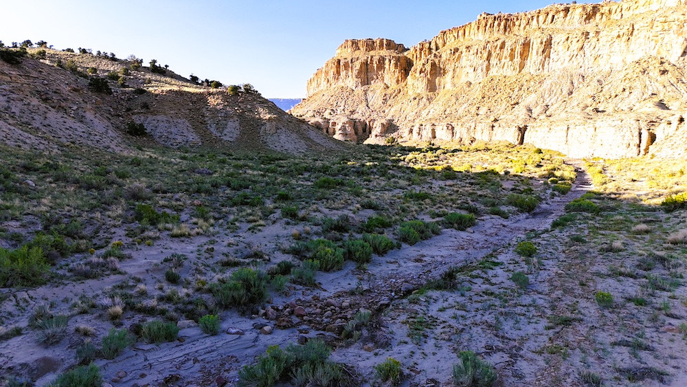
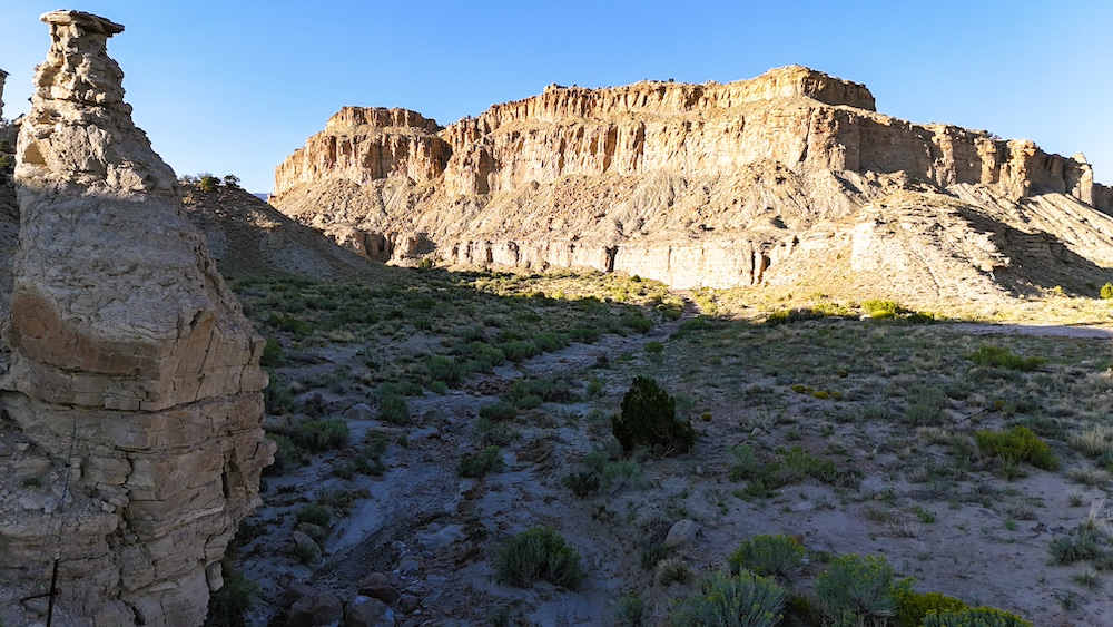
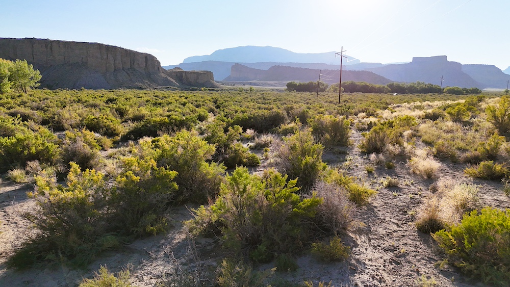
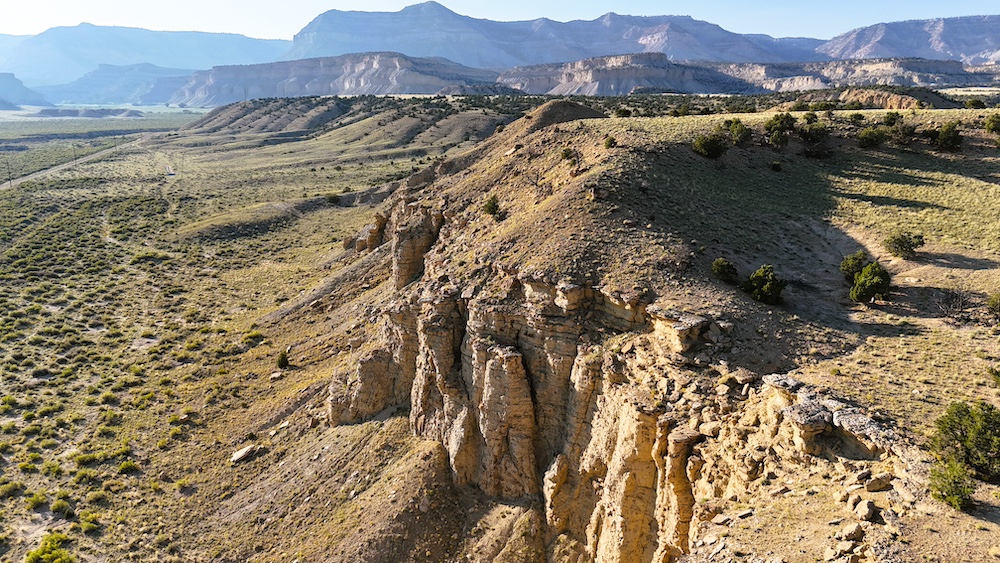
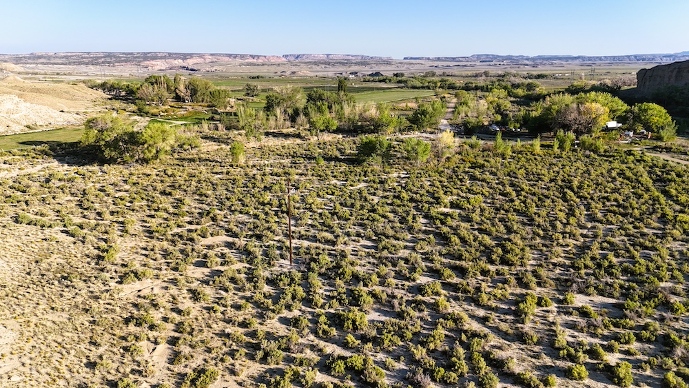
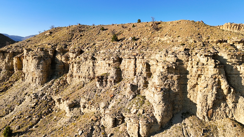
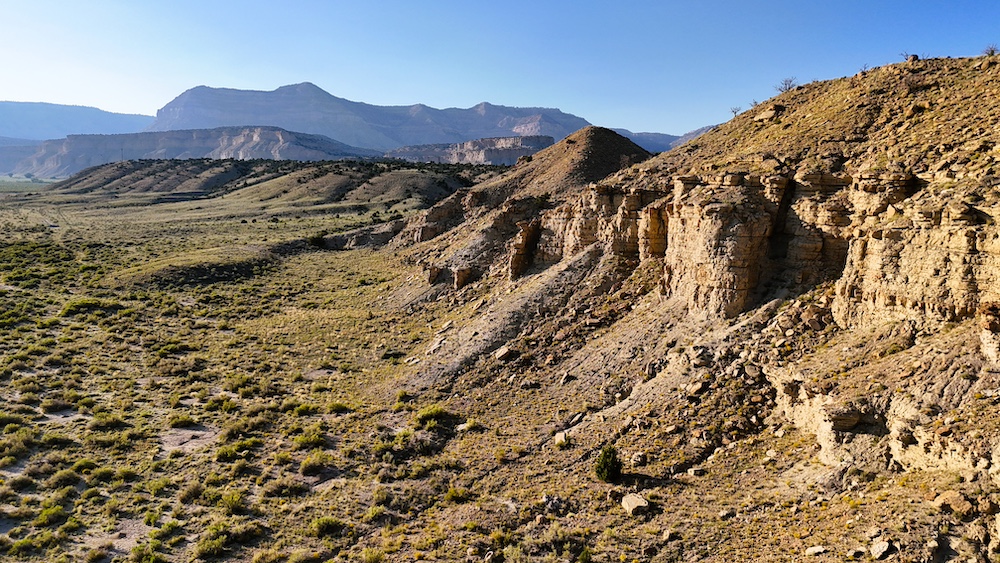
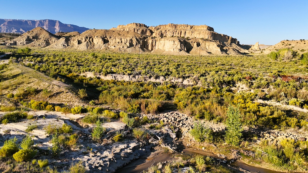
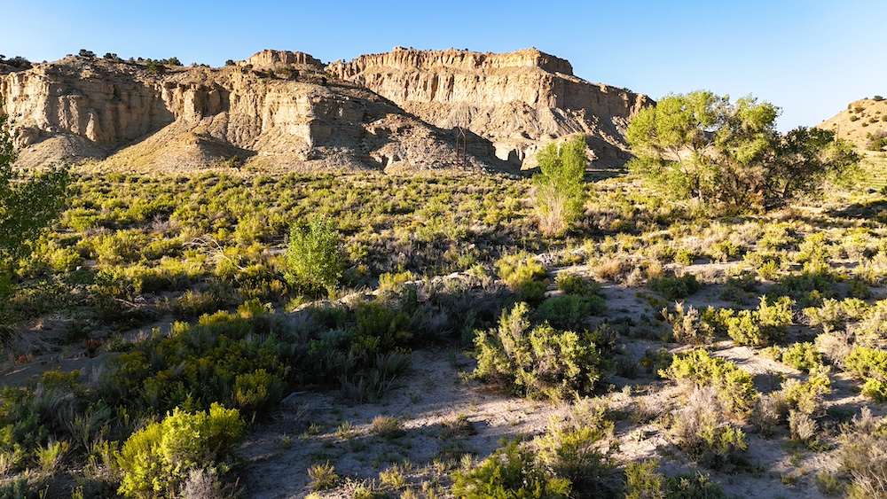
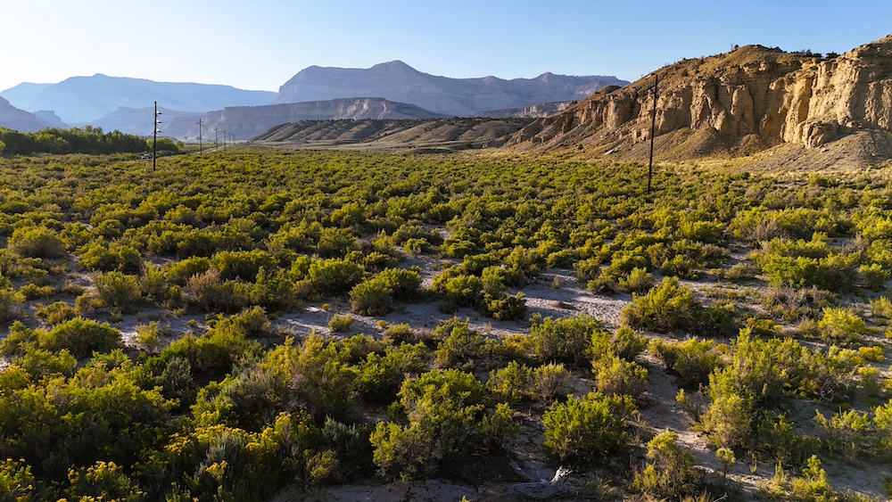
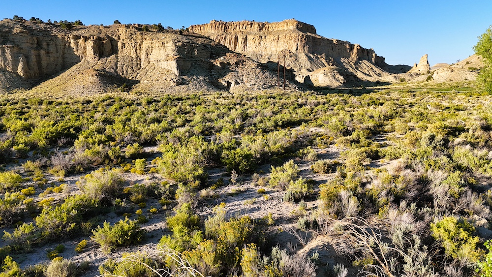
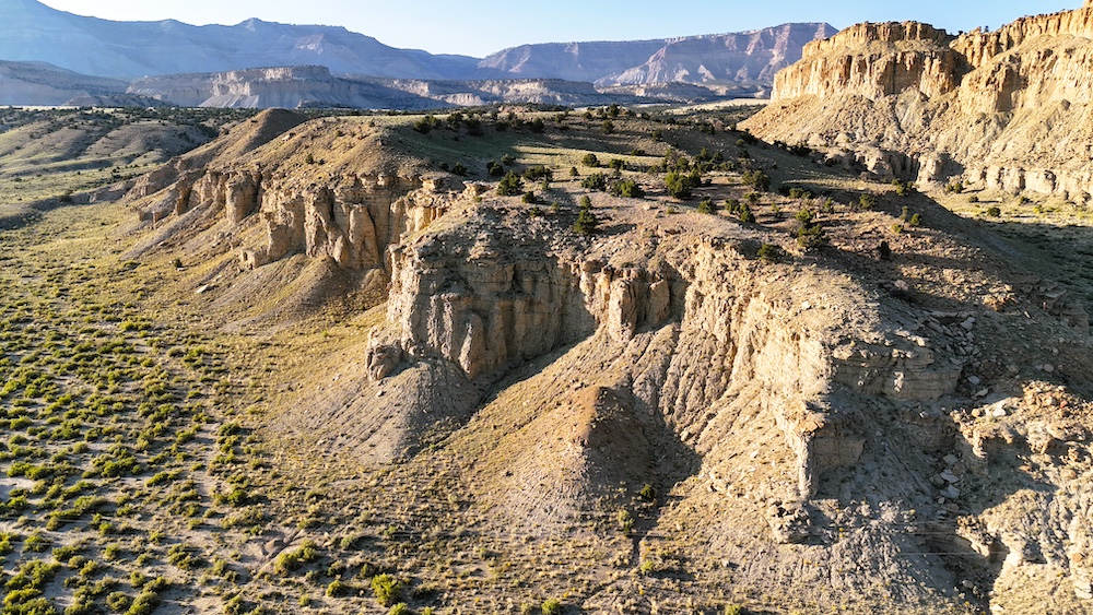
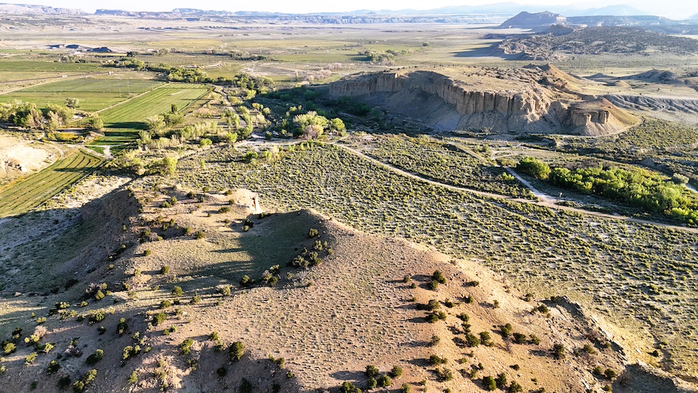
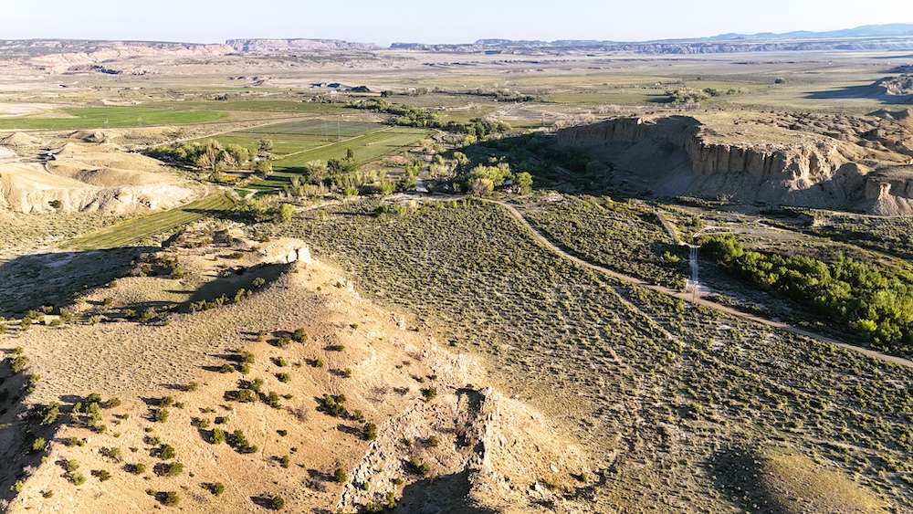
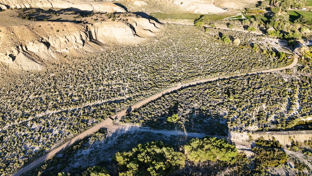
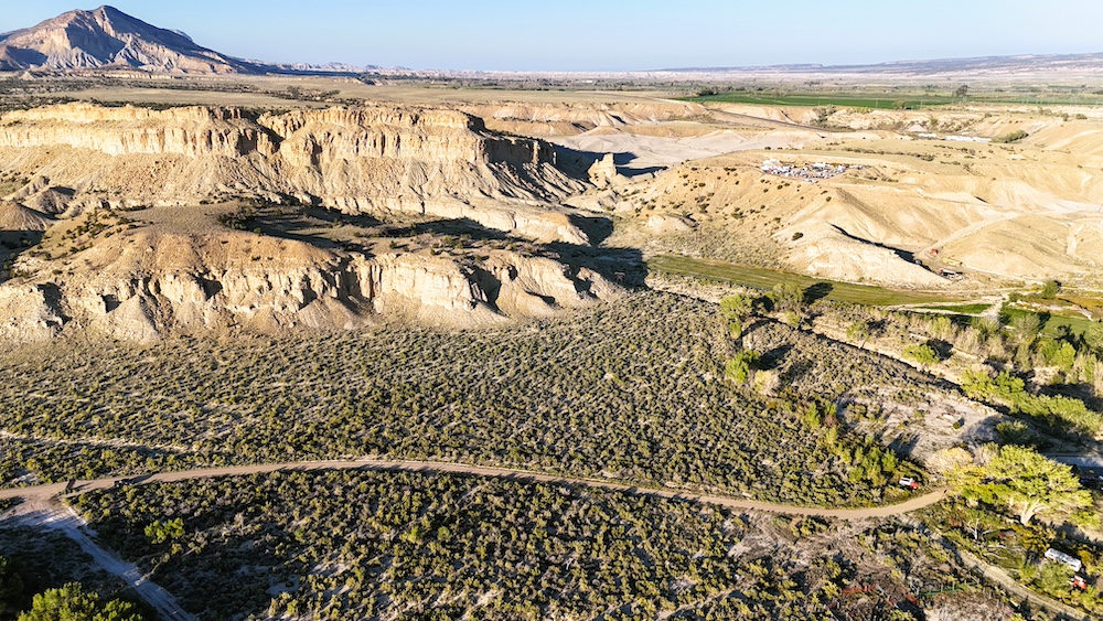
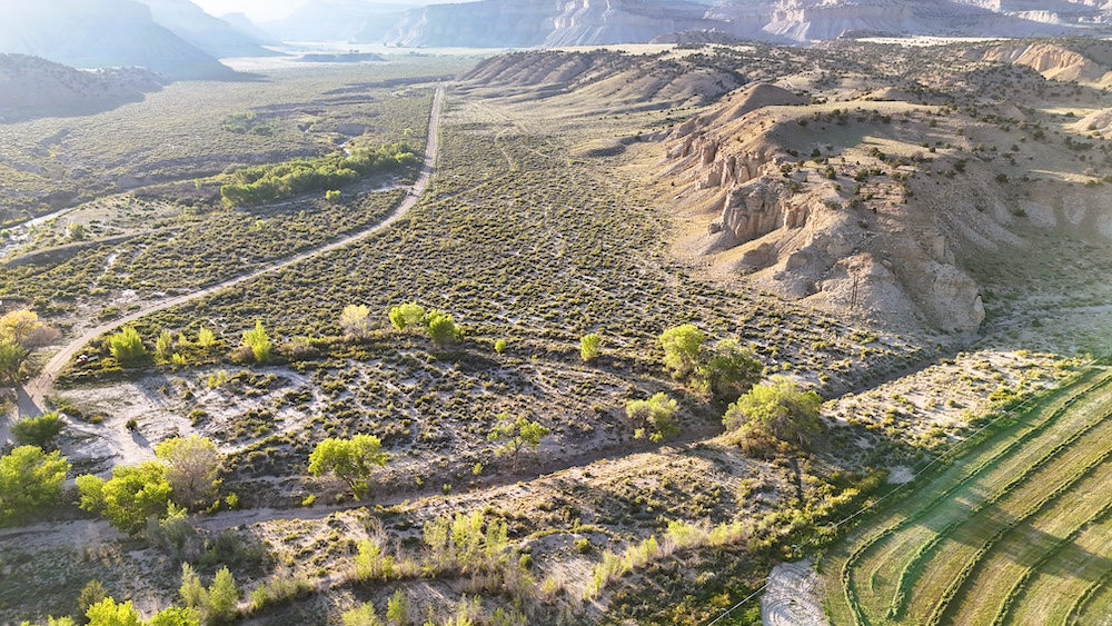
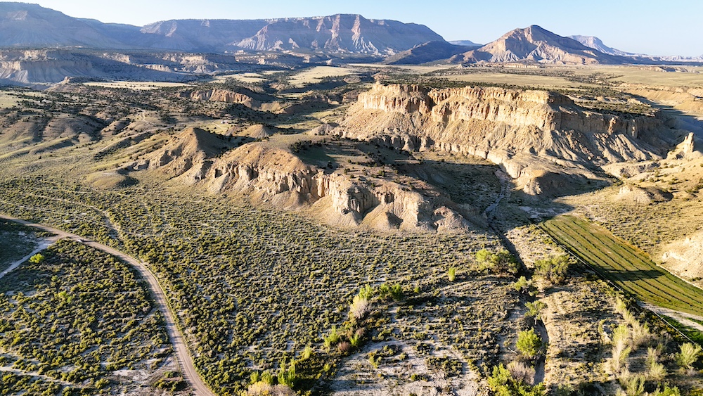
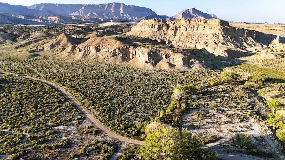
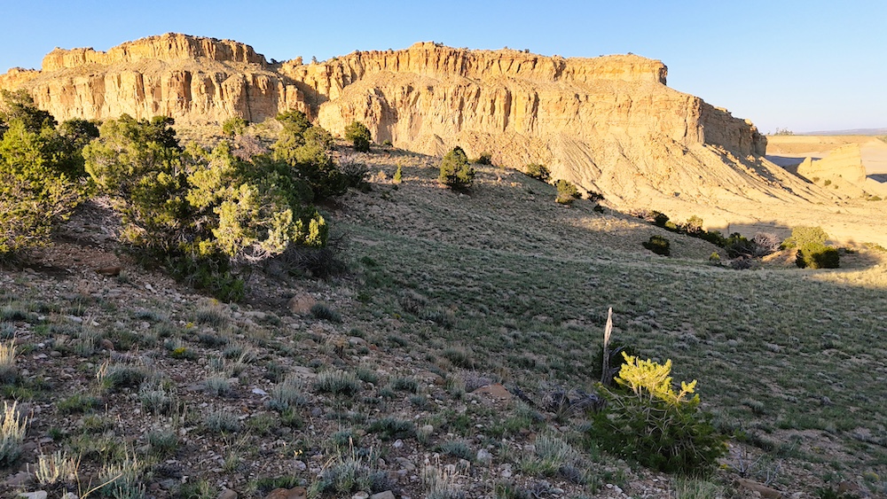
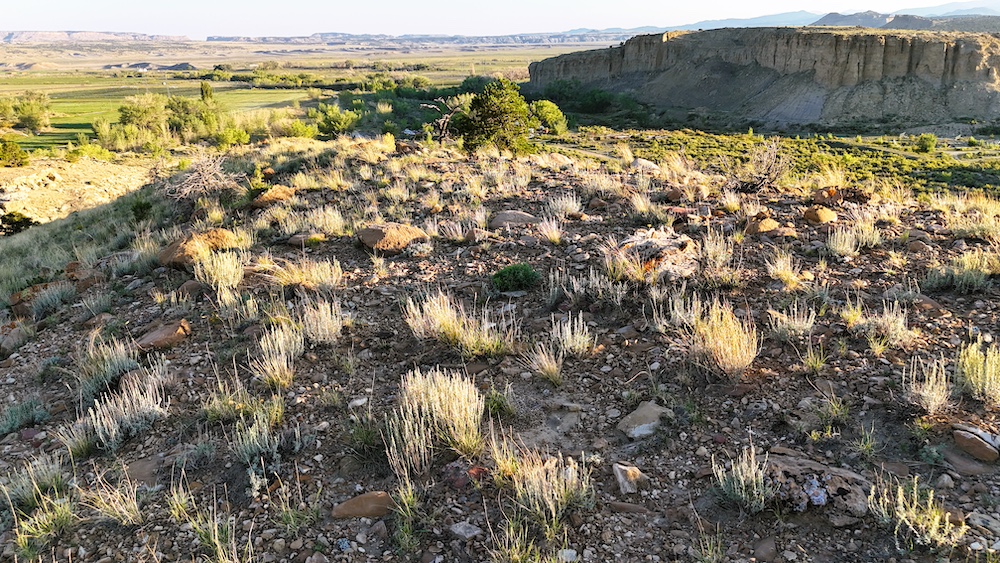
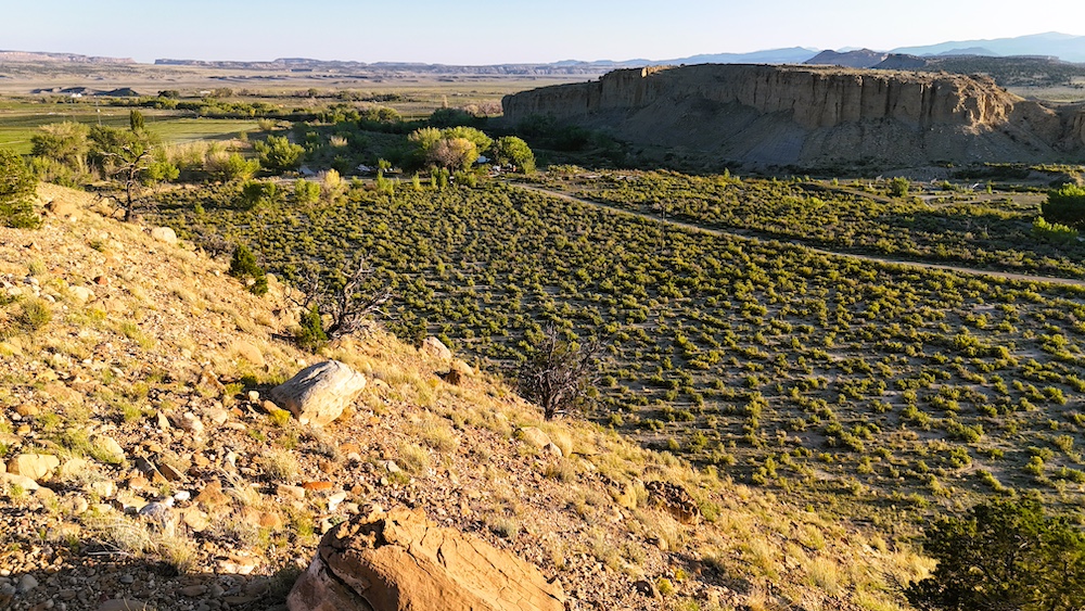
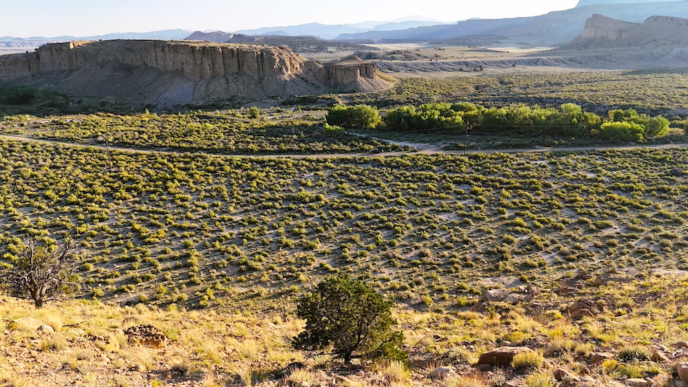
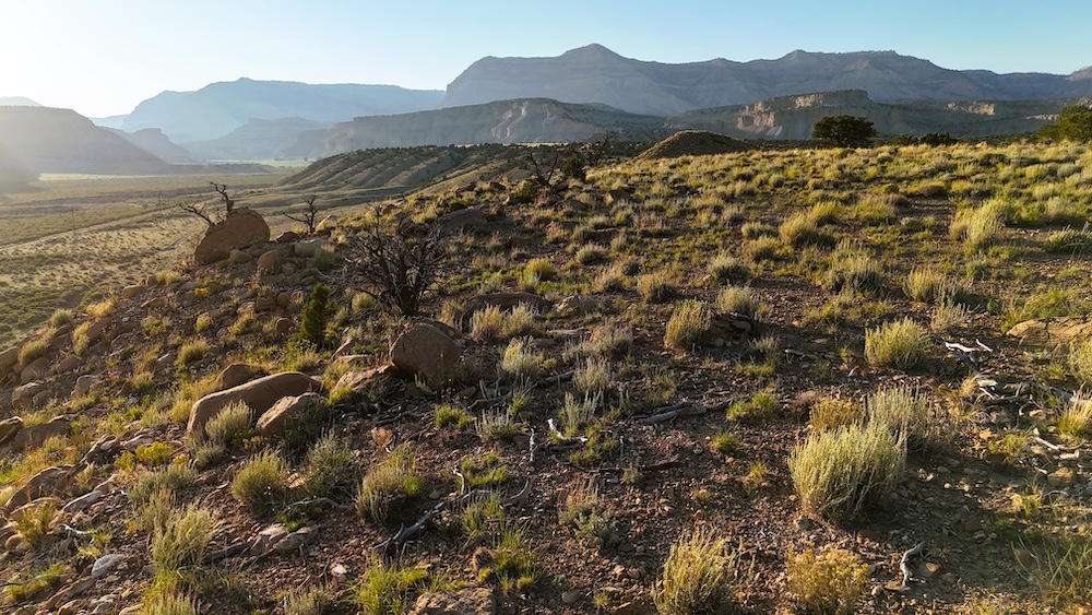
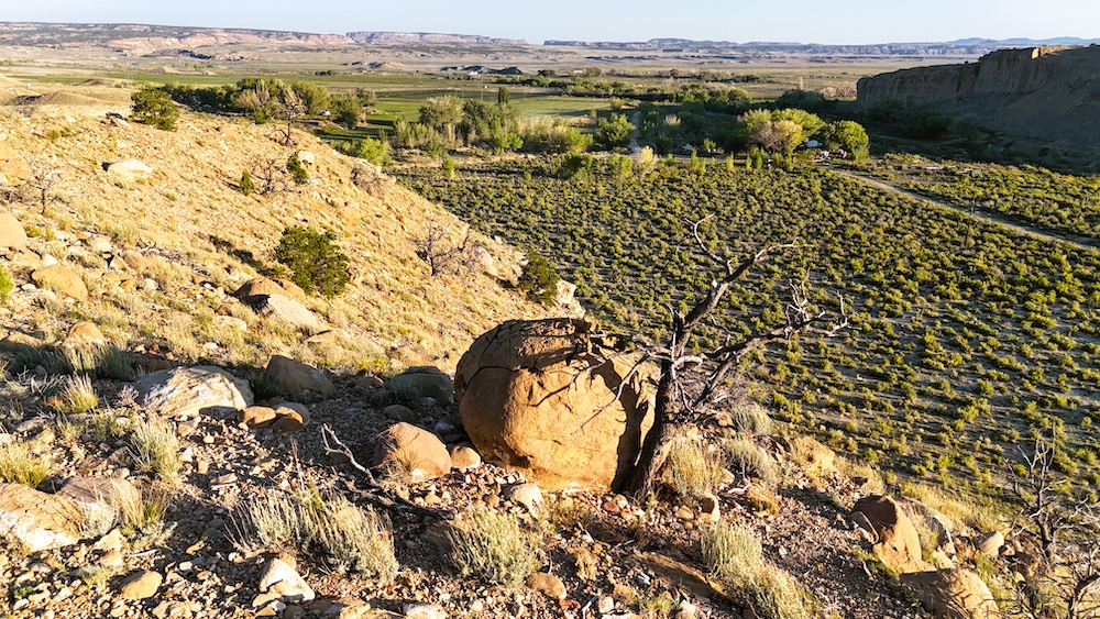
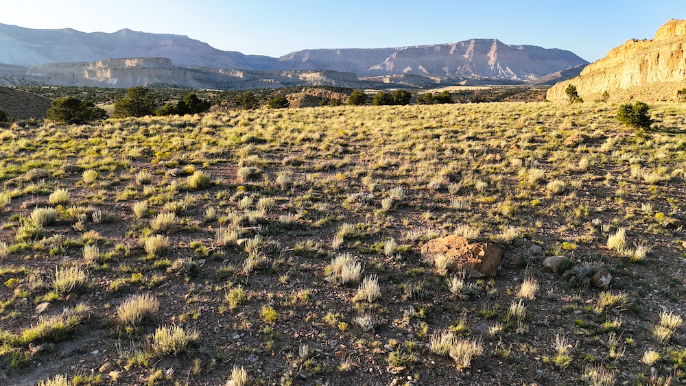
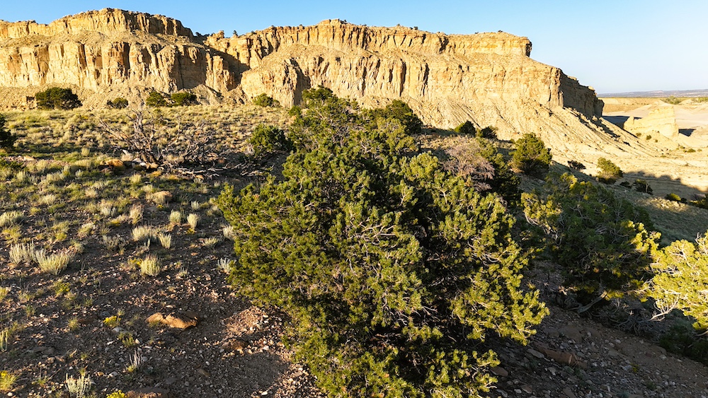
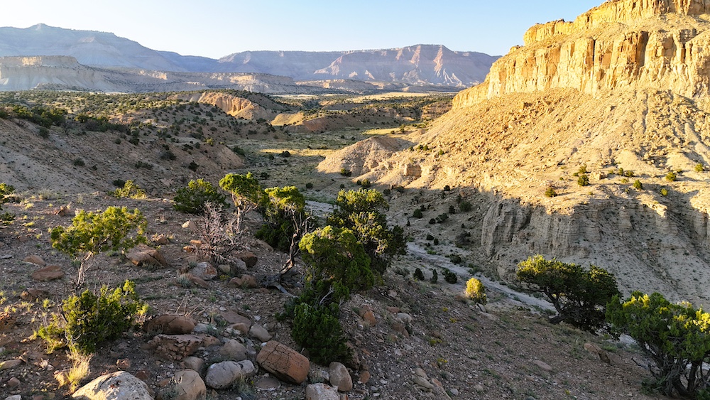
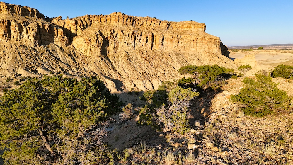
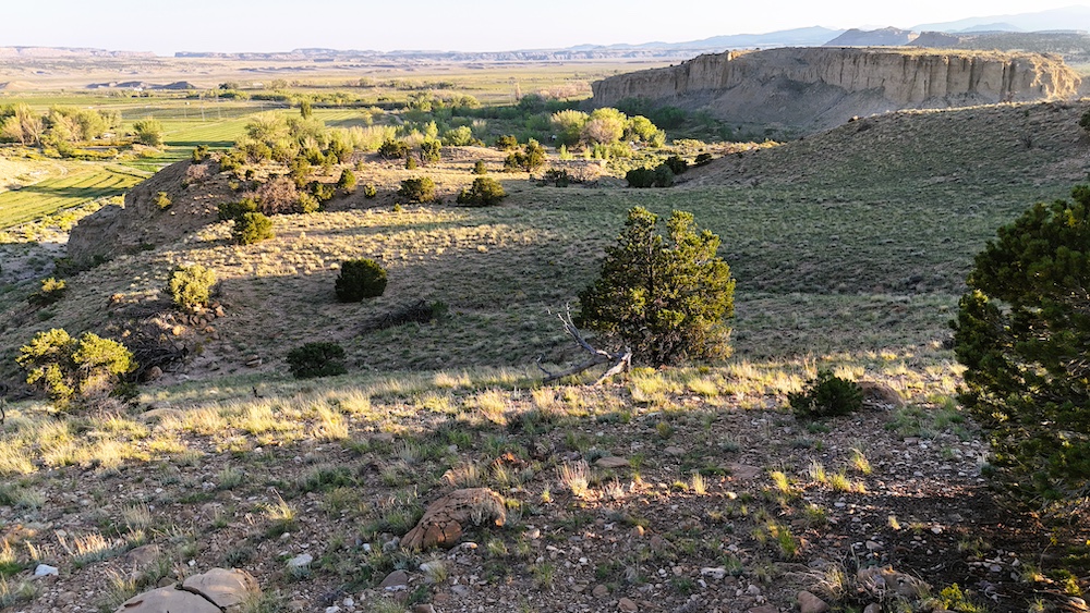
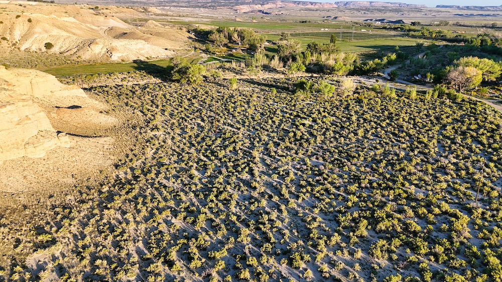
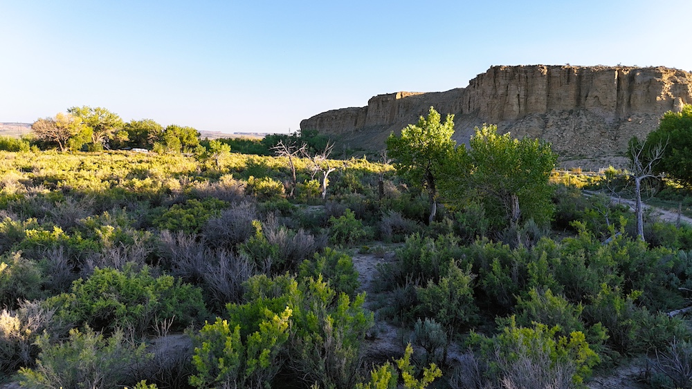
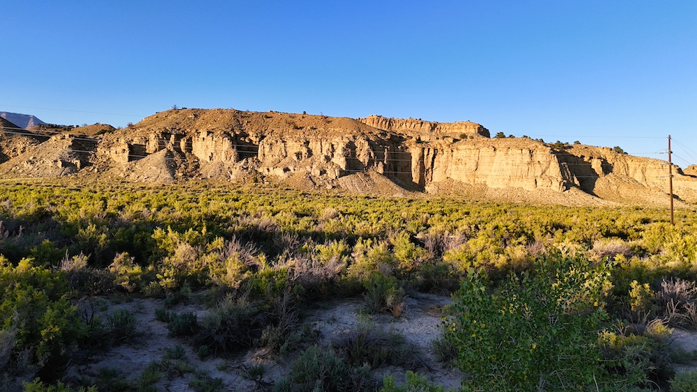
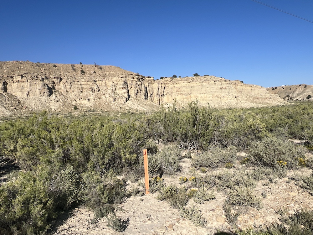
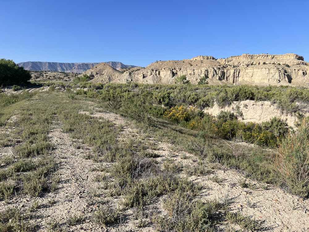
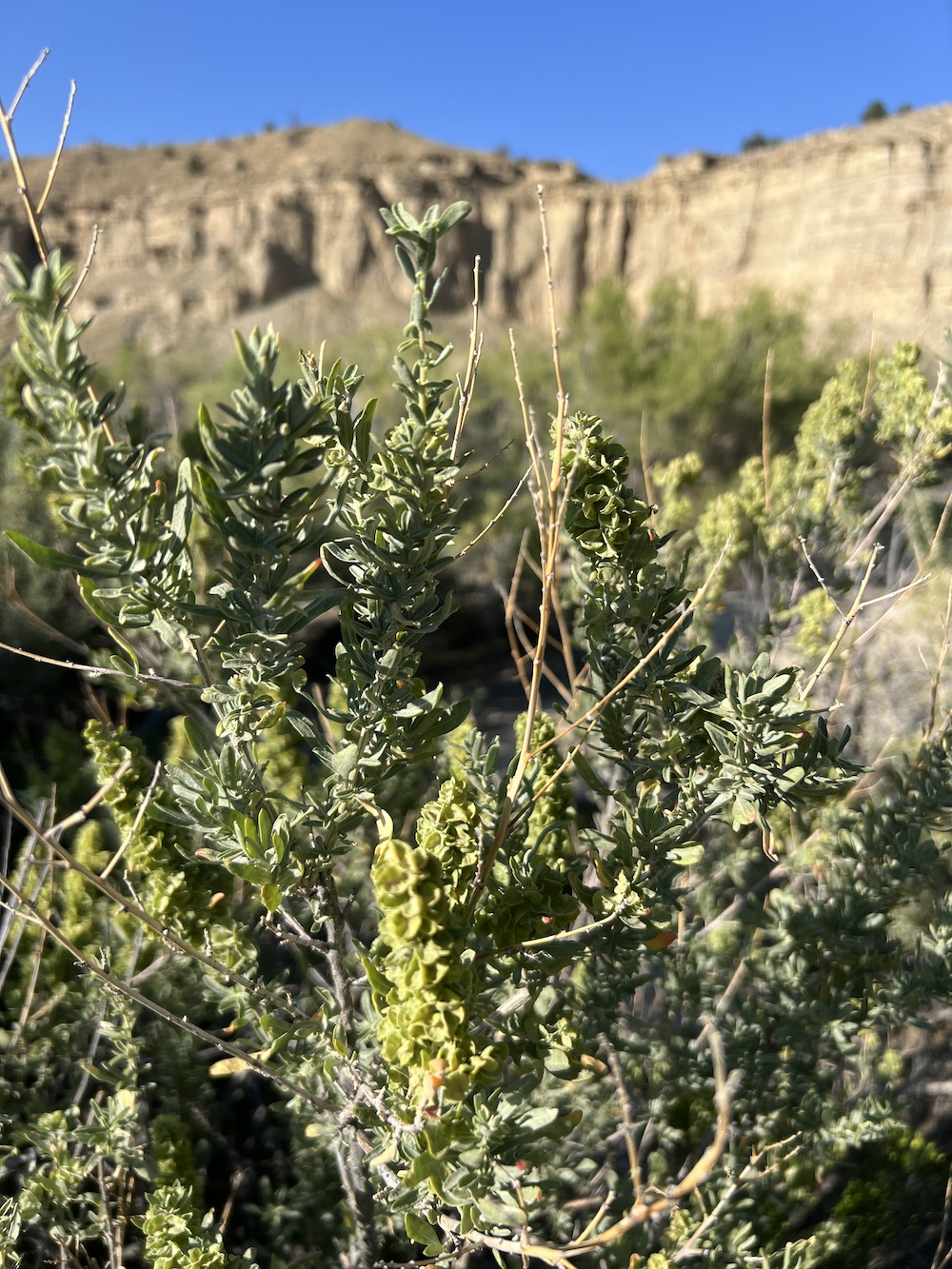
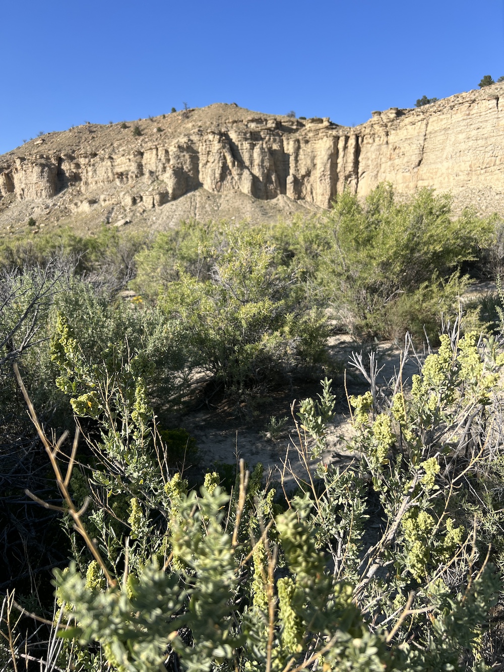
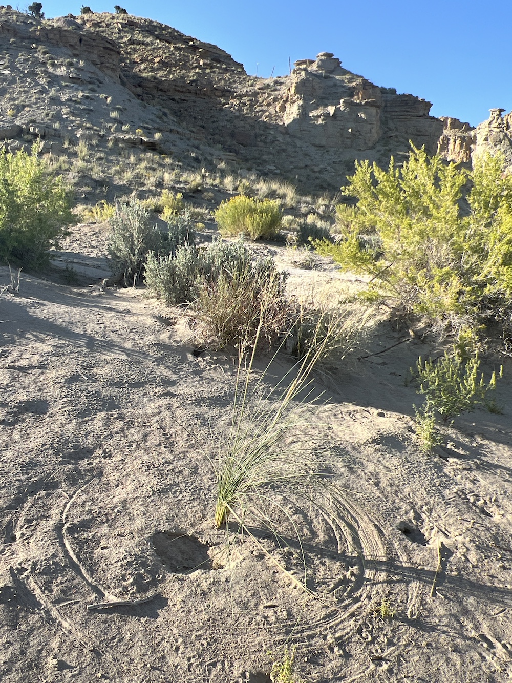
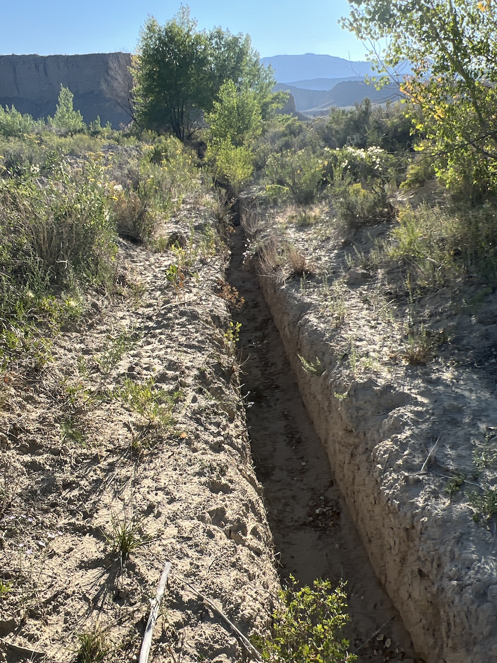
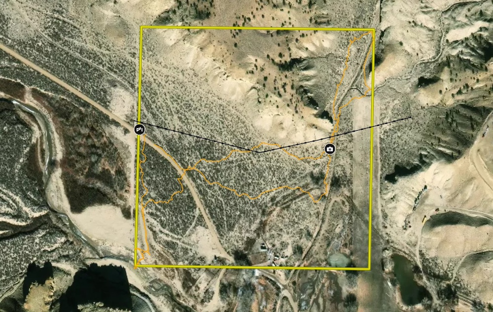
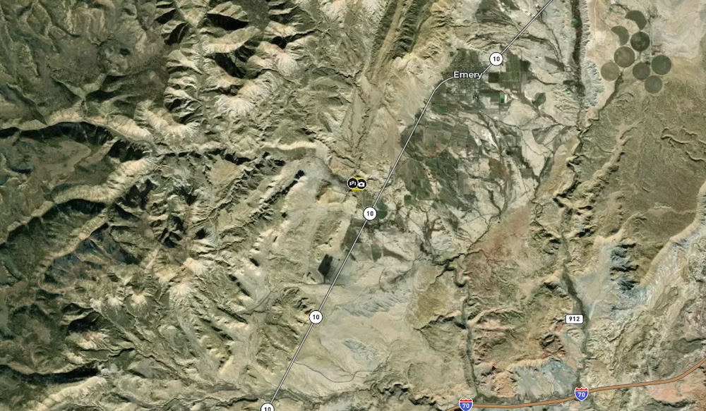
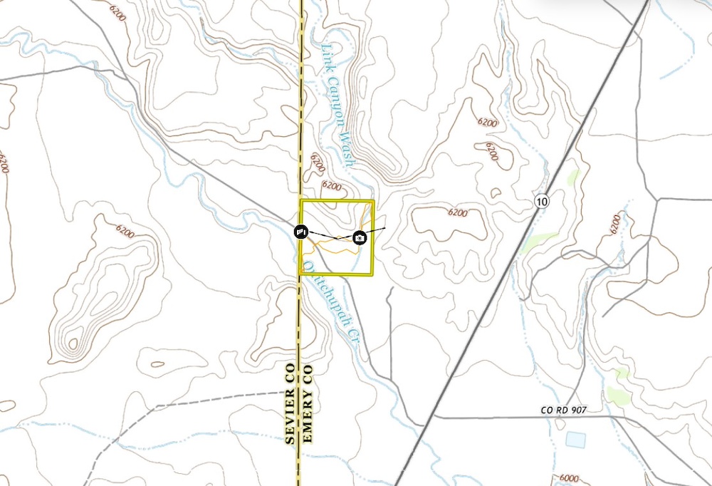
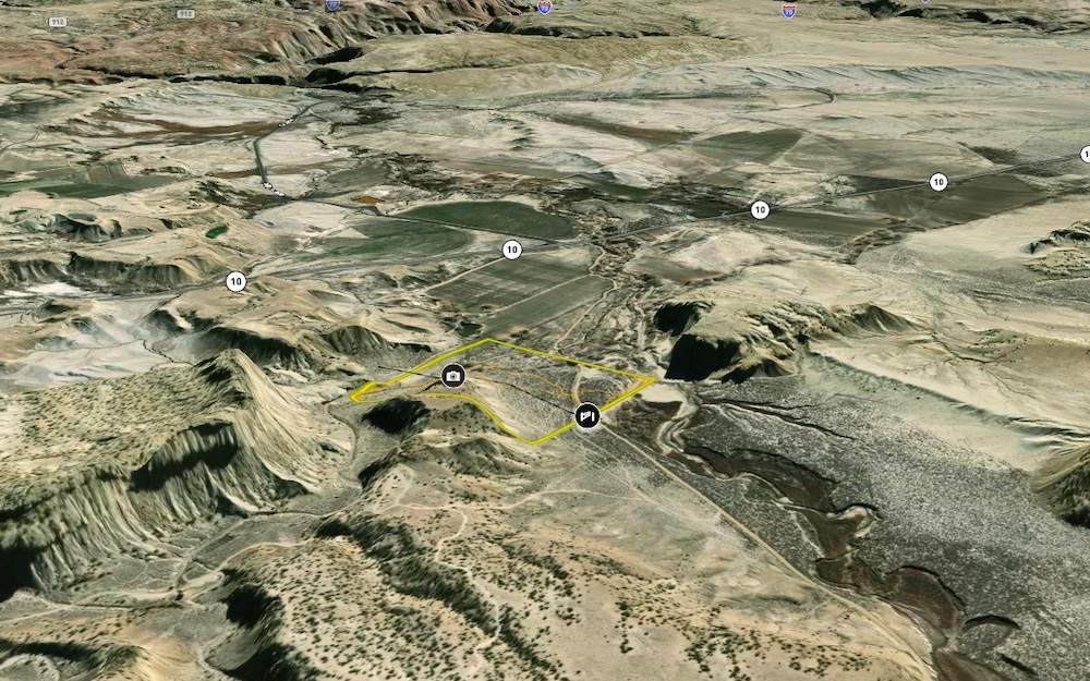
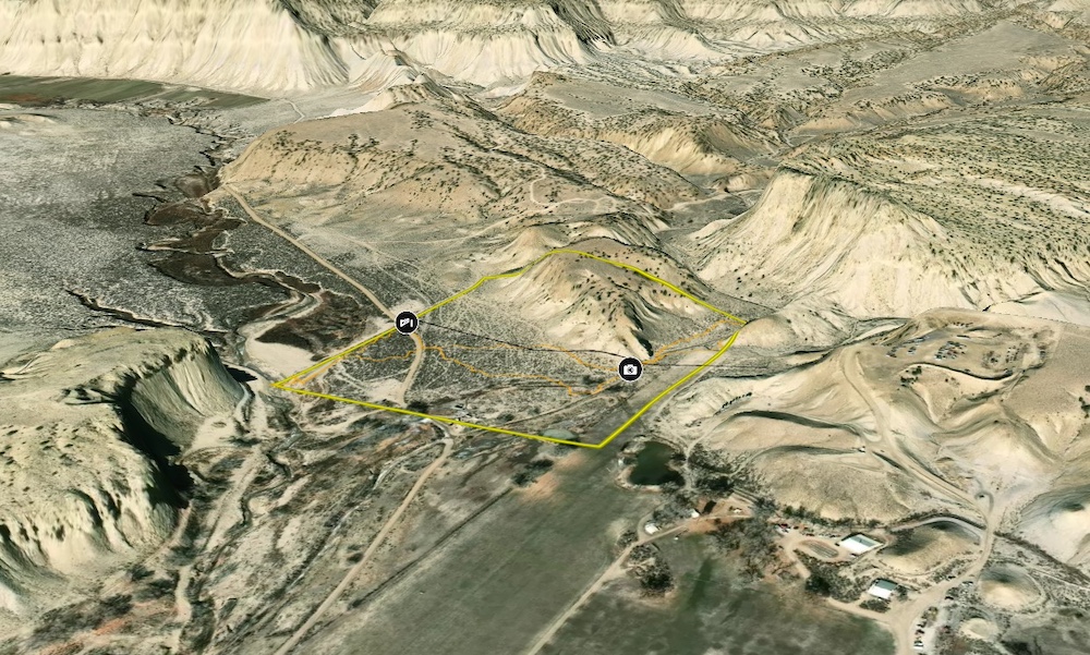
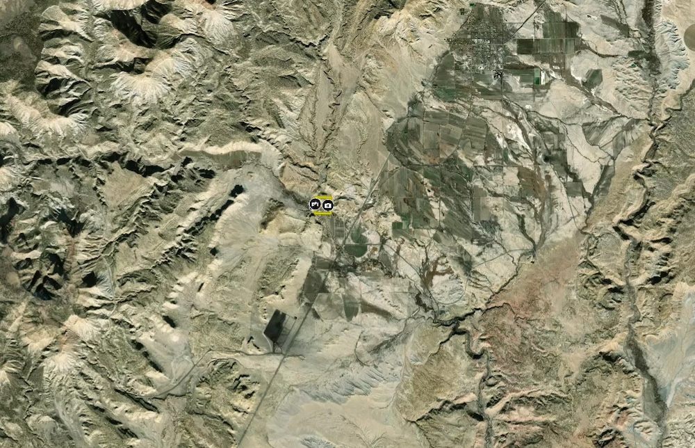
40+ acres of property located less than a mile off of Highway 10 and less than 5 miles from Emery. Located at the intersection of Quitchumpah Creek and Link Canyon Wash, the property has a little bit of everything to complement the panoramic views. The creek bottom gives way to scattered trees and mature brush, which covers the majority of the property before it rises dramatically with 100+ foot cliffs supporting a flat mesa with overlooks in every direction.
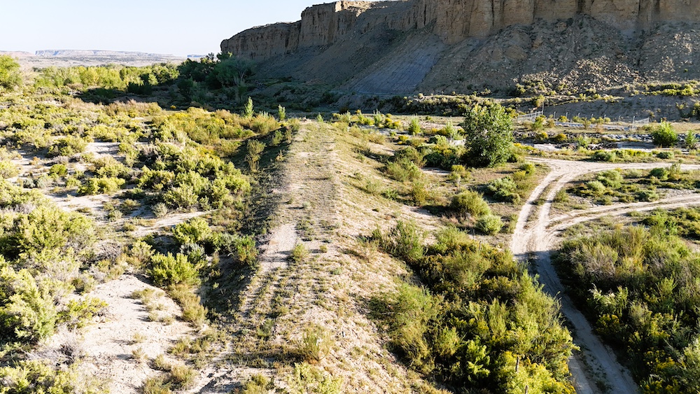
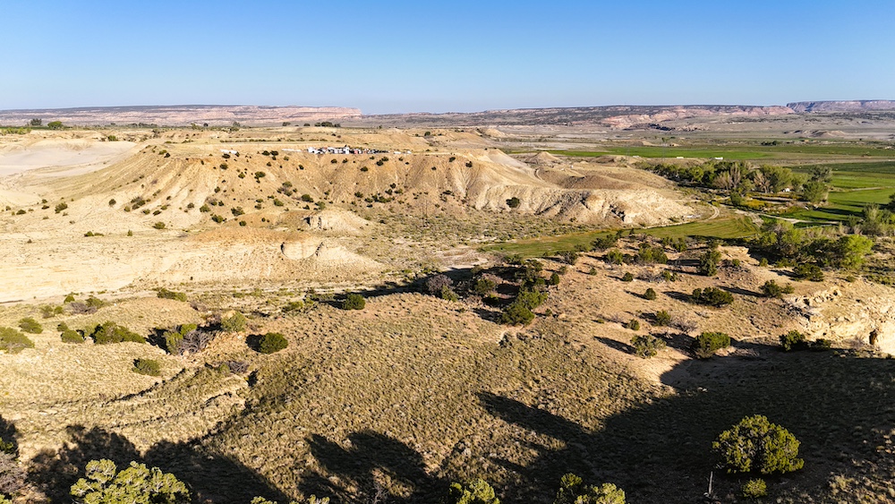
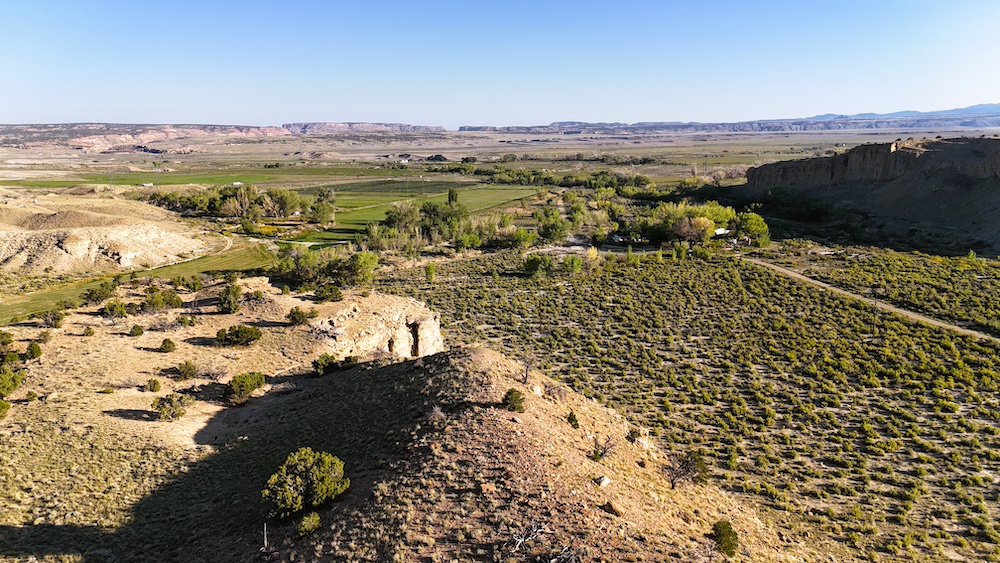
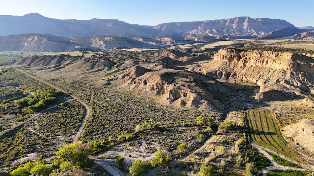
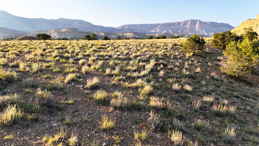
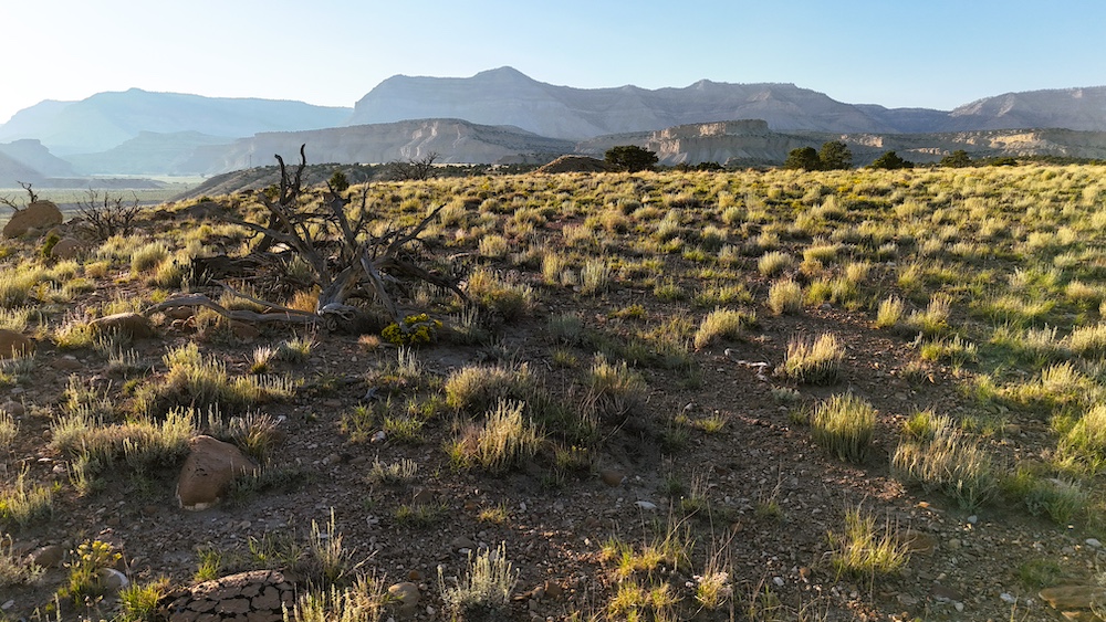
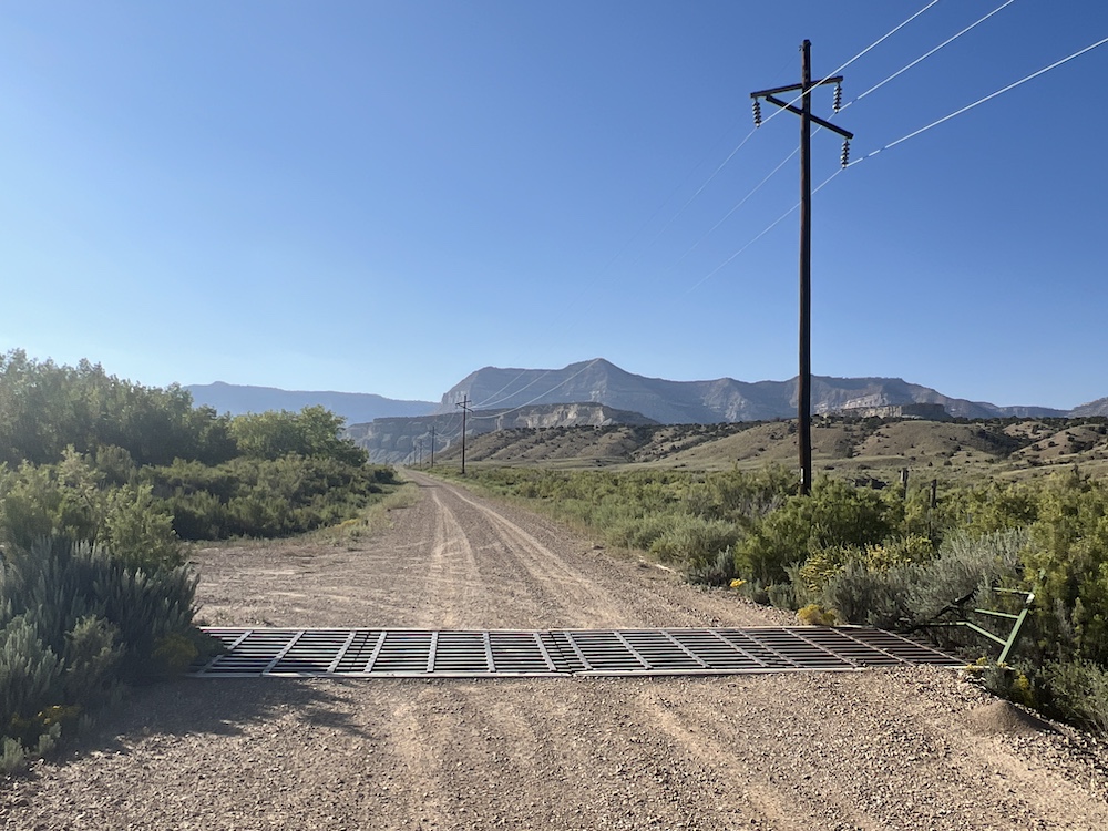
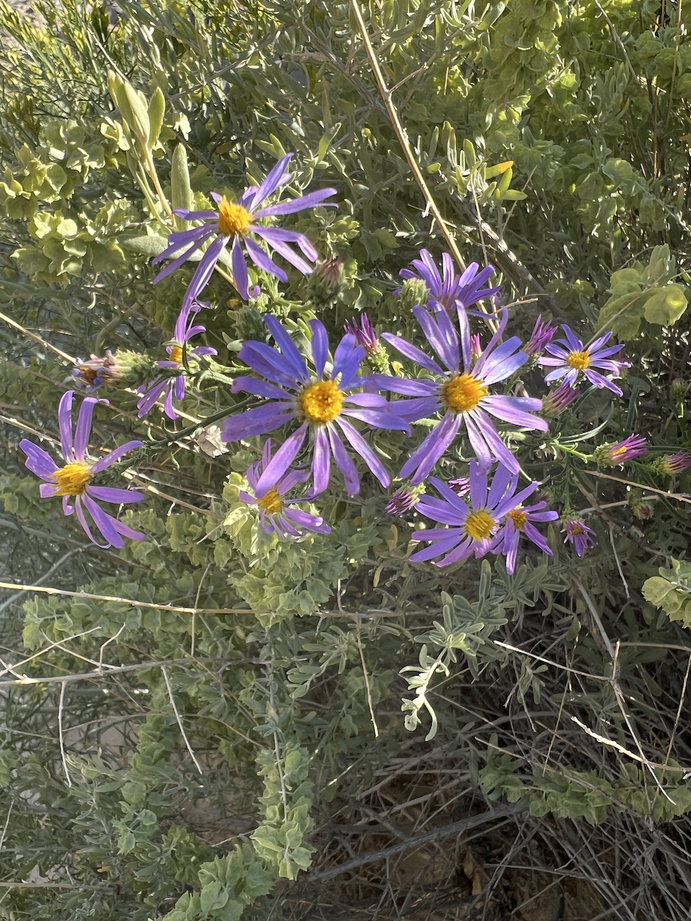
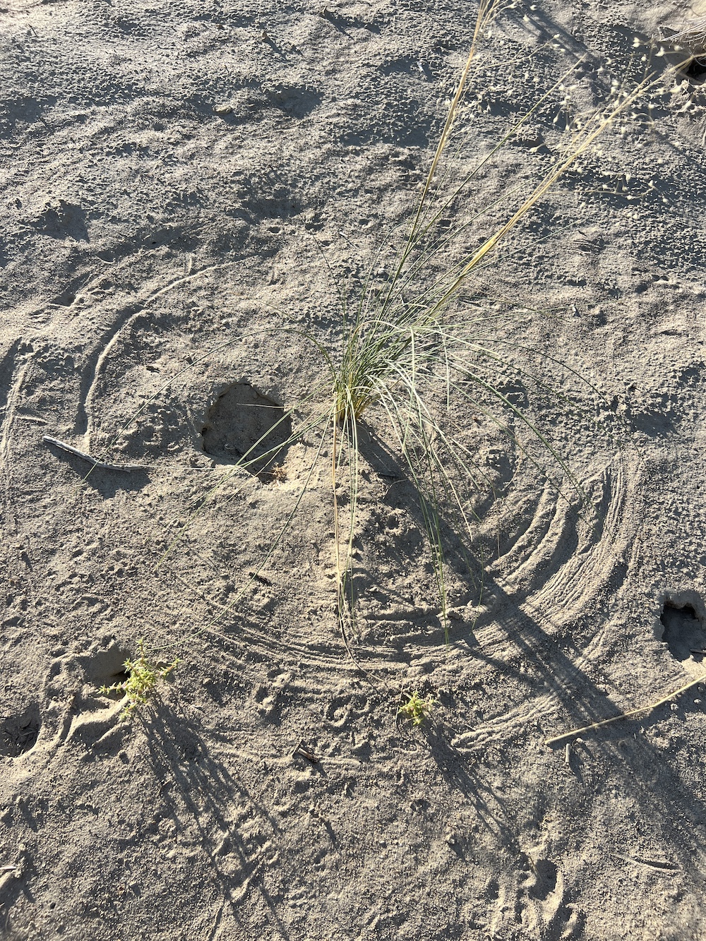
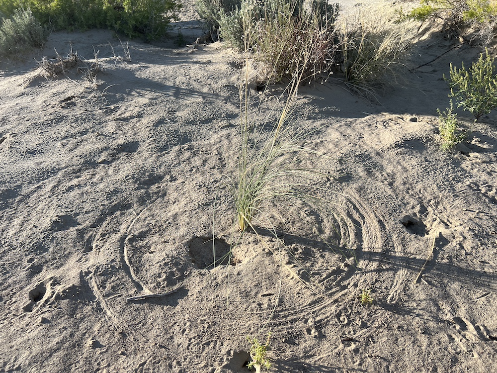
The canyon has a dead-end road, ensuring that traffic in the area is minimal and the serenity offered by nature is unbroken. With year-round water in the creek and agriculture nearby, this lot serves as a corridor for various wildlife, including deer, turkeys, foxes, and coyotes, along with several other species. To the north, Link Canyon, the Wasatch Plateau, and Wildcat Knolls make for a picture-perfect backdrop. To the west, Convulsion Canyon and Water Hollow combine for more awe-inspiring views. Finally, above the fields to the south, the rocky canyons of the San Rafael Swell are visible.
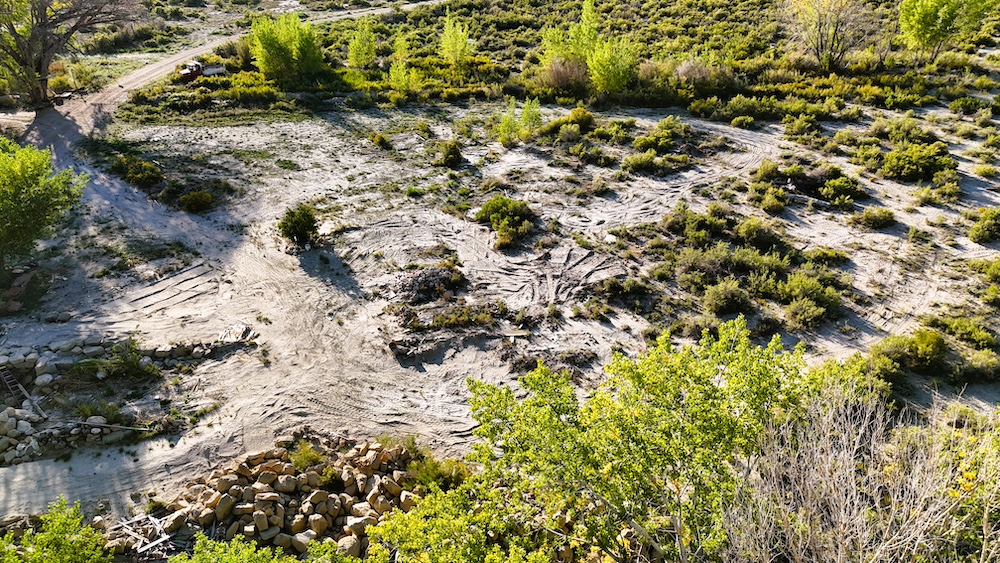
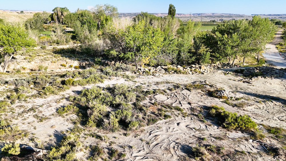
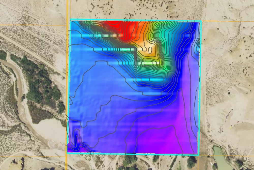
A recent development, the property now has 4.73 AC FT of underground water rights supporting a home, stock watering, and irrigation. If you are looking for room and water for your animals, start a hobby farm, or to live off-grid, then this place would be ideal. The property has been recently surveyed, saving the new owners nearly $2,500, and the mineral rights are also conveyed with the property. Power is on the property as well as telecommunications, and the buyer would need to check for hookup expenses/fees.
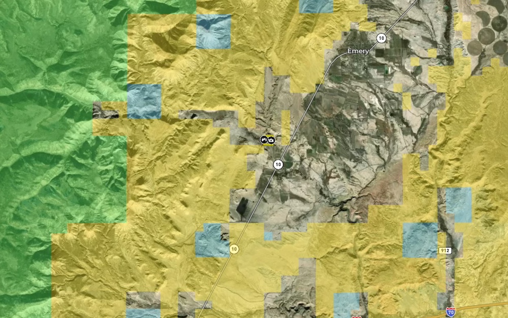
This lot is located close to Fish Lake National Forest, the San Rafael Swell, and well over 3 million acres of public land for your family to explore. If you are looking for a legacy-type family retreat property that will be enjoyed for many years, this is the lot for you!
Summary
Address
Nearby Features
Land Type
Property Type
Land and Farm Property Types
Road Frontage
Road Surface
Fencing
Land Details
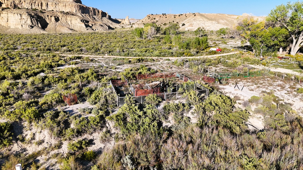
Improvements/Features
Activities on Property
Roads
Livestock Facilities
Minerals
Waterfront
Wild Game
Details
- Located just south of Emery
- 4.73 AC FT of underground water rights included
- Partially fenced
- Great road access on a county-maintained road
- Cleared pads for trailers or small cabin
- Power on the property, as well as telecommunications
- Mineral rights convey with the property
- Variety of topography from creek bottom to high mesa
- Elevation ranges from 6055’ to 6228’
Other
Utilities
Coordinates
Annual Taxes
Sold Property
For more information or to see additional properties currently for sale see Zeb White's listings.